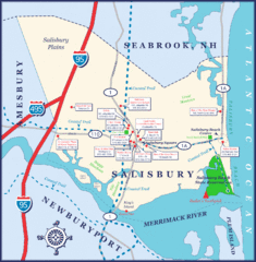
Salisbury Town Map
less than 1 mile away
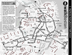
Walking Map of Boston, Massachusetts
Tourist map of Boston, Massachusetts, showing walking routes and times, as well as museums, squares...
34 miles away
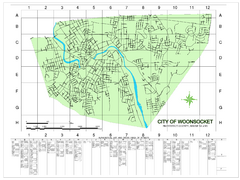
Woonsocket Street Map
Street map of Woonsocket, Rhode Island. Shows street legend.
66 miles away
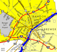
Bangor City Map
Airport, roads and interstates are on this map.
171 miles away

City Island Street Map
Street map of City Island, New York
205 miles away
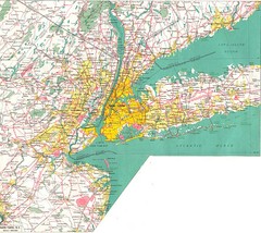
New York City Map
216 miles away
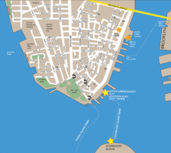
Lower Manhattan Area Map
220 miles away
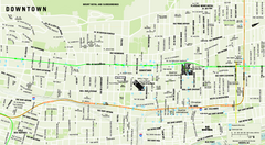
Downtown Montreal Map
Street map of central Montreal. Shows access to the metro and commuter train
229 miles away
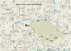
Mount Royal and Surroundings Map
230 miles away
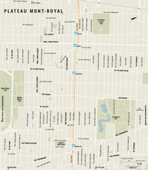
Plateau Mont Royal Map
231 miles away
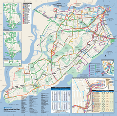
Staten Island Bus Map
Official Bus Map of Staten Island. Shows all routes.
231 miles away
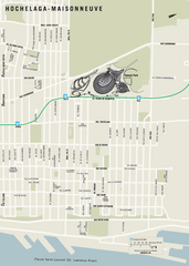
Hochelaga-Maisonneuve Map
231 miles away
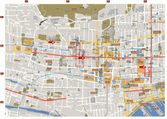
Montreal Downtown Map
Street map of downtown Montreal, Quebec. In French.
232 miles away
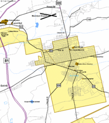
Hazelton Street Map
Clear and descriptive road map.
294 miles away
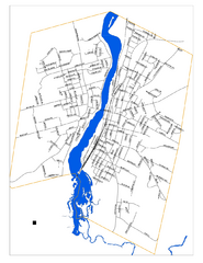
New Glasglow Street Map
Street map of town of New Glasglow, Nova Scotia
449 miles away
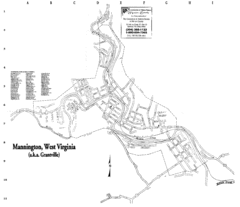
Mannington Street Map
Street map of Mannington, West Virginia. (aka Grantville)
544 miles away
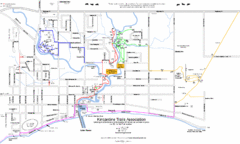
Kincardine Trail Map
Trail and street map of Kincardine, Ontario.
549 miles away
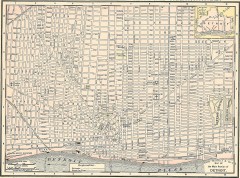
Map of the Main Portion of Detroit - 1895
Map of downtown Detroit, 1895. From Rand McNally's Atlas of the World, 1901, page 42
622 miles away
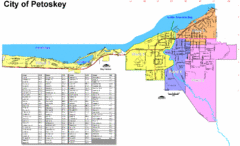
Petoskey Street Map
Street map of Petoskey, Michigan. Official city map.
723 miles away
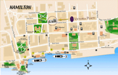
Hamilton City Map
Tourist map of central Hamilton, Bermuda. Shows major streets and parks.
800 miles away
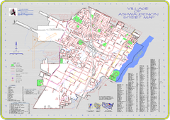
Ashwaubenon Street Map
868 miles away
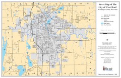
West Bend Street Map
Street map of city of West Bend, Wisconsin.
875 miles away
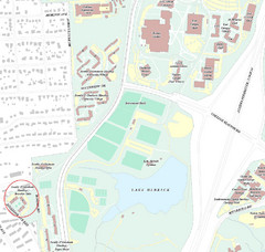
Brandon Town Map
Town of Brandon and University of Georgia Campus
915 miles away
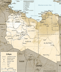
Lybia Map
Clear map and legend of this African Nation.
1083 miles away
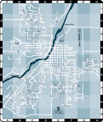
Northfield Street Map
Street map of Northfield, Minnesota
1120 miles away
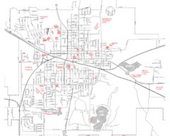
Mexico Missouri Street Map
City street map of Mexico, Missouri
1124 miles away
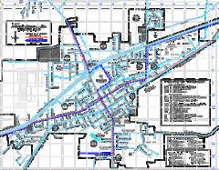
St James Street Map
Street map of St. James, Missouri. Shows points of interest.
1141 miles away
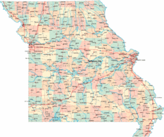
Missouri Map
Map of Missouri, including main roads and towns
1143 miles away
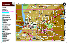
Memphis, Tennessee City Map
1158 miles away
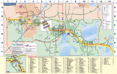
Travel Accommodations in Kissimmee, Florida Map
Map of accommodations in and around Kissimmee, Florida. Shows visitors centers, Disney World, and...
1166 miles away
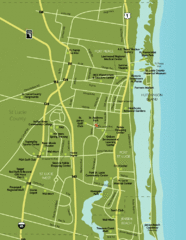
Port St. Lucie Map
Map of Port Saint Lucie.
1200 miles away
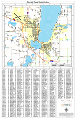
Bemidji Street Map
Street map of the Bemidji, Minnesota area
1210 miles away
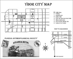
Ybor City Map
1216 miles away
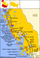
Bradenton Beach Map
Bradenton Beach and surrounding beach map.
1250 miles away
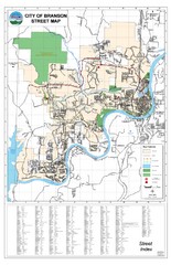
Branson Street Map
Street map of Branson, Missouri. With street index.
1262 miles away
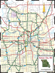
Kansas City Map
Map of main roads/highways in Kansas City area
1266 miles away
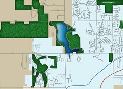
Southwest Olathe Map
Street map of southwest Olathe, Kansas. Shows green spaces.
1279 miles away
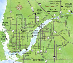
Cap Coral and Surrounding Area Map
Small, humble fishing community along the coast of Florida.
1283 miles away
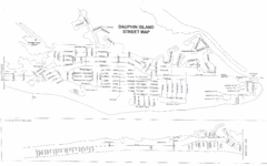
Dauphin Island Street Map
1291 miles away


 Explore Maps
 Map Directory
