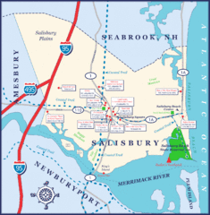
Salisbury Town Map
less than 1 mile away
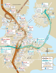
I-93 & I-90 Boston Map
Detail of exits and on-ramps for downtown Boston.
34 miles away
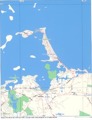
Hull Town Map
38 miles away
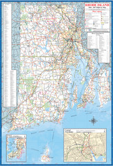
Rhode Island Road Map
Official Rhode Island state highway map. Insets show Newport and Providence.
87 miles away
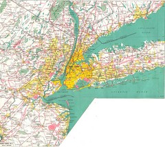
New York City Map
216 miles away
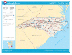
North Carolina Road Map
712 miles away
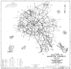
Fayette County General Highway Map
Transportation Map of Fayette County, KY
789 miles away
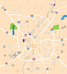
Indianapolis Map
Map of Indianapolis are
823 miles away
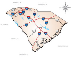
South Carolina Interstate Map
Shows Interstate highways in South Carolina
838 miles away
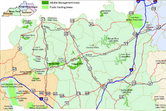
Green River Area Hunting Map
Map marking highways, forests, parks and hunting zones in Kentucky's beautiful Green River...
948 miles away
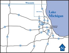
Illinois Highway Map
Highway Map of Illinois and area. Shows all Highways around Chicago area.
954 miles away
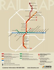
Atlanta MARTA rail map
Official rail map of the Metropolitan Atlanta Rapid Transit Authority.
965 miles away
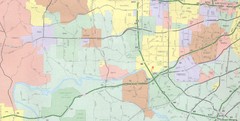
Powder Valley Map
Map of Powder Valley, includes all freeways, streets, waterways, and county divisions.
1102 miles away
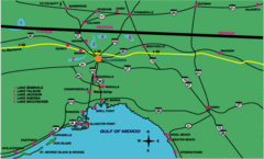
Tallahassee Freeway Map
Freeways and road leading to and from Tallahassee.
1133 miles away
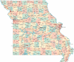
Missouri Map
Map of Missouri, including main roads and towns
1143 miles away
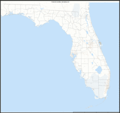
Florida Zip Code Map
Check out this Zip code map and every other state and county zip code map zipcodeguy.com.
1207 miles away
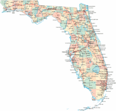
Florida Road Map
1222 miles away
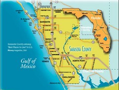
Sarasota Map
Sarasota county map and road system.
1254 miles away
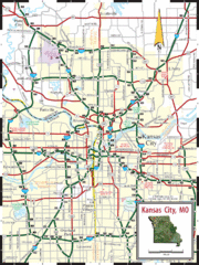
Kansas City Map
Map of main roads/highways in Kansas City area
1266 miles away
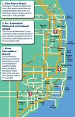
Fort Lauderdale Map
Fort Lauderdale and surrounding area map, including Airports and airport details.
1272 miles away
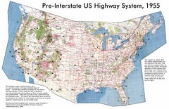
Pre-Interstate US Highway System Map
United States route and highway system pre-interstates, 1955
1371 miles away
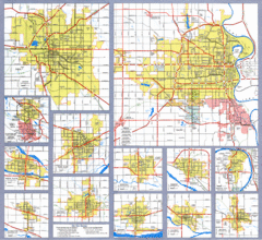
Nebraska City Road Maps Map
Shows roads/highways in 13 Nebraska cities.
1474 miles away
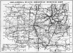
Oklahoma State Highway Map
Highway Map of Oklahoma State circa 1927. Includes all main roads and highways up to state...
1510 miles away
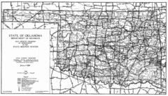
Oklahama Highway Map
Highway Map of Oklahoma State circa 1935. Includes all roads, towns, and detailed information on...
1527 miles away
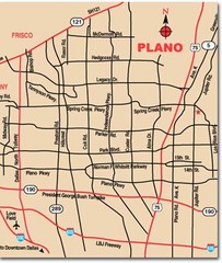
Plano City Map
Map of main roads and highways in Plano
1559 miles away
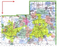
Dallas/ Fort Worth Map
Metropolitan Map of Dallas and Fort Worth. Includes highways, roads, towns and county divisions.
1585 miles away
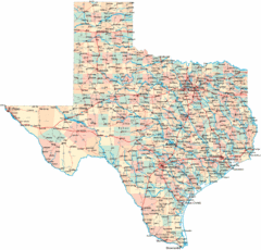
Texas Map
Map of state of Texas, denoting towns and highways
1661 miles away
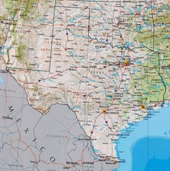
Texas Map
1673 miles away
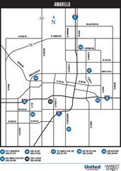
Amarillo Map
Map of main roads/highways in Amarillo
1740 miles away
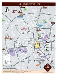
San Antonio Map
1789 miles away
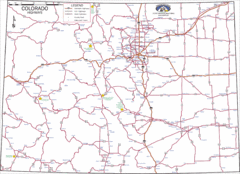
Colorado Highways Map
Road map of highways in state of Colorado
1820 miles away
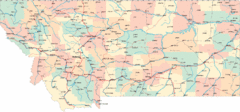
Montana Road Map
1935 miles away
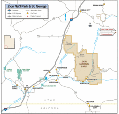
Zion National Park Highway Map
Highways, roads, cities and points of interest are marked on this clear map.
2242 miles away
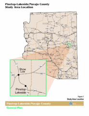
Arizona Highway Map
2251 miles away
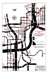
Renton WA Traffic Flow Map
City of Renton, WA traffic flow map
2481 miles away
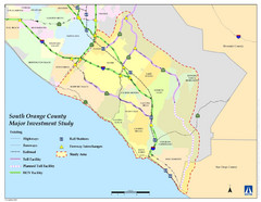
Orange County Map
2593 miles away
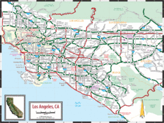
Los Angeles, California Transportation Map
2603 miles away
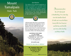
Mount Tamalpais State Park Map
Map of park with detail of trails and recreation zones
2706 miles away
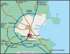
Central Dublin, Ireland Highway Map
2963 miles away


 Explore Maps
 Map Directory
