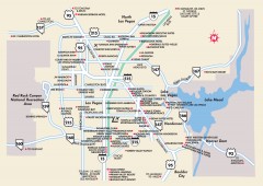
Las Vegas Surrounding Areas, Nevada Map
Tourist map of the areas surrounding Las Vegas, Nevada. Shows hotels and inns outside of downtown...
0 miles away
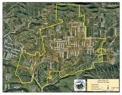
Ojai Street Map
Street map of Ojai, California.
261 miles away
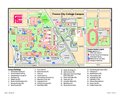
Fresno City College Campus Map
Fresno City College Campus Map. Shows all areas.
262 miles away
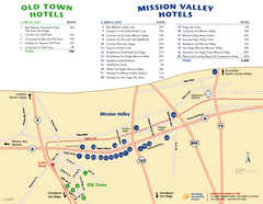
Mission Valley Tourist Map
Tourist map of Mission Valley area of San Diego, with hotel listings
262 miles away
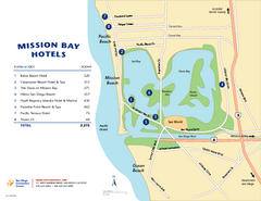
Mission Bay Tourist Map
Tourist map of the Mission Bay area of San Diego, with hotel listings
263 miles away
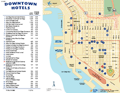
Downtown San Diego Tourist Map
Tourist map of downtown San Diego, with hotel listings
265 miles away
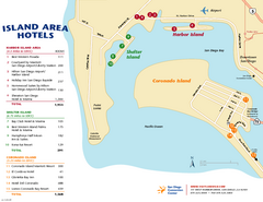
San Diego Island Tourist Map
Map of Coronado Island and surrounding area of San Diego, with hotel listings
267 miles away
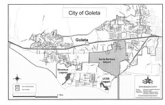
Goleta City Map
Street map of Goleta, California
291 miles away
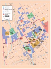
San Jose Downtown map
San Jose sowntown street map showing public transportation and parking.
383 miles away
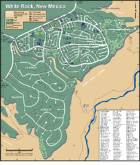
White Rock Road Map
Large and detailed map marking points of interest and roads.
383 miles away
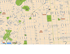
Downtown San Francisco: Castro and Noe Valley Map
Tourist map of the Castro and Noe Valley area in downtown San Francisco, California. Shows Twin...
418 miles away
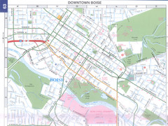
Boise, Idaho Downtown Map
Map of the downtown area of Boise, Idaho includes all streets, parks and the Boise State University.
518 miles away
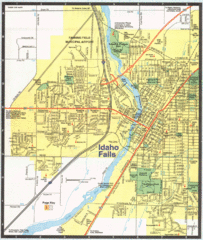
Idaho Falls, Idaho City Map
532 miles away
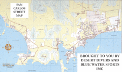
San Carlos Street Map
Street map of San Carlos, Mexico
616 miles away
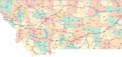
Montana Road Map
772 miles away
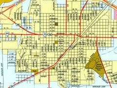
Fort Stockton City Map
Street map of city of Fort Stockton
795 miles away
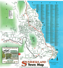
Summerland Town Map
Map of Summerland with details on outdoor-recreation locations and streets
957 miles away
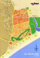
San Jose Del Cabo Map
Street map of San Jose del Cabo, Mexico
964 miles away
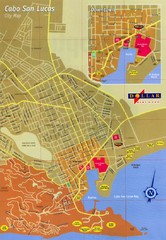
Cabo San Lucas Map
Street map of central Cabo San Lucas, Mexico
970 miles away
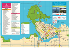
Map of Greater Vancouver
Tourism Vancouver's official map of Greater Vancouver. Shows accomodations, attractions...
993 miles away
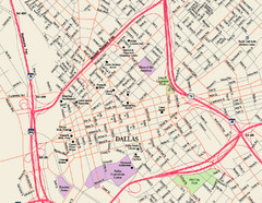
Downtown Dallas Map
Street map of downtown Dallas
1070 miles away
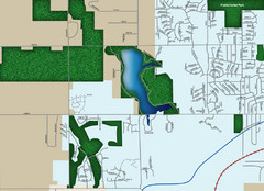
Southwest Olathe Map
Street map of southwest Olathe, Kansas. Shows green spaces.
1128 miles away
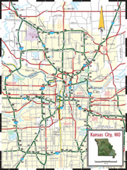
Kansas City Map
Map of main roads/highways in Kansas City area
1137 miles away
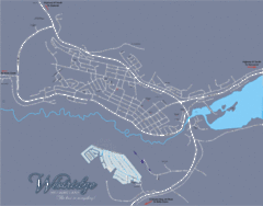
Williams Lake Town Map
1155 miles away
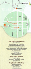
Kingsville Map
Map of Kingsville, with detail of main city-sites
1176 miles away
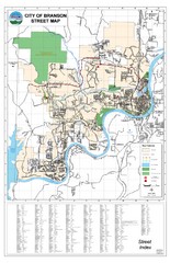
Branson Street Map
Street map of Branson, Missouri. With street index.
1216 miles away
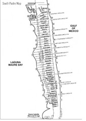
South Padre Island Street Map
1268 miles away
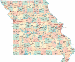
Missouri Map
Map of Missouri, including main roads and towns
1282 miles away
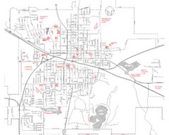
Mexico Missouri Street Map
City street map of Mexico, Missouri
1287 miles away
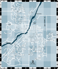
Northfield Street Map
Street map of Northfield, Minnesota
1287 miles away
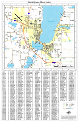
Bemidji Street Map
Street map of the Bemidji, Minnesota area
1298 miles away
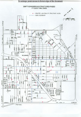
Empty Dangerous Structures Razed Map
flood zone elevation
1300 miles away
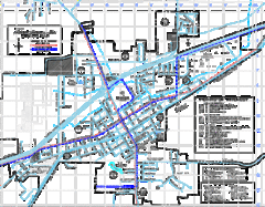
St James Street Map
Street map of St. James, Missouri. Shows points of interest.
1301 miles away

Winnipeg 1908 Map
Street map of Winnipeg with street index.
1308 miles away
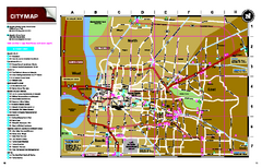
Memphis, Tennessee City Map
1413 miles away
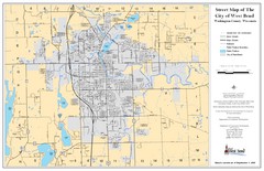
West Bend Street Map
Street map of city of West Bend, Wisconsin.
1510 miles away
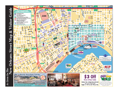
New Orleans French Quarter Map
Tourist street map of French Quarter in city of New Orleans, Louisiana
1511 miles away
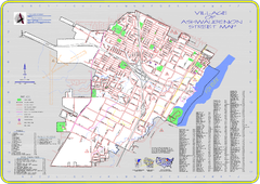
Ashwaubenon Street Map
1530 miles away


 Explore Maps
 Map Directory
