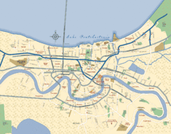
New Orleans Neighborhood Map
Overview map of city of New Orleans shows districts/neighborhoods and major streets.
0 miles away
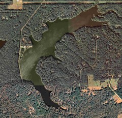
Lake Tallavana Map
Lake Tallavana aerial Map of the lake and surrounding areas.
341 miles away
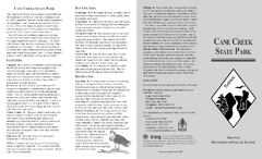
Cane Creek State Park Map
Cane Creek State Park Detail Map showing amenities, camp sites, and lake.
423 miles away
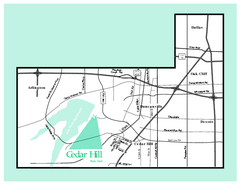
Cedar Hill, Texas State Park Map
445 miles away
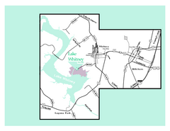
Lake Whitney, Texas State Park Map
451 miles away
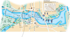
Town Lake Map
Mape of Town Lake and surrounding area, with detail on walking trails
455 miles away
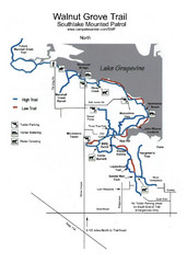
Walnut Grove Trail Map
464 miles away
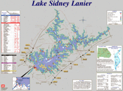
Lake Sidney Lanier Recreation Map
Recreation map of Lake Sidney Lanier in Georgia. Shows campgrounds, day use parks, marinas, and...
469 miles away
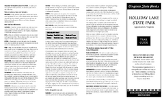
Holiday Lake State Park Map
Easy to read state park map.
478 miles away
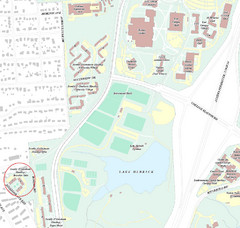
Brandon Town Map
Town of Brandon and University of Georgia Campus
482 miles away
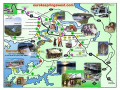
Eureka Springs West Tourist Map
Tourist map of Eureka Springs West on Beaver Lake in Eureka Springs, Arkansas. Shows points of...
494 miles away
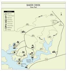
Baker Creek State Park Map
Beautiful park with wonderful views and plenty of wild life.
532 miles away
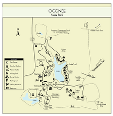
Oconee State Park Map
Beautiful state park clearly mapped with legend.
532 miles away
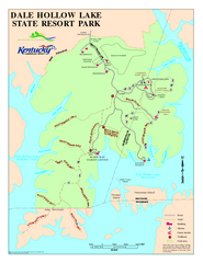
Dale Hollow Lake State Park Map
Map of trails and facilities of Dale Hollow Lake State Park.
541 miles away
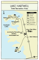
Lake Hartwell State Park Map
Clear state park map.
544 miles away
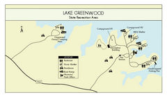
Lake Greenwood State Park Map
Clearly marked state park map on a beautiful waterfront.
561 miles away
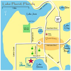
Lake Placide Town Map
562 miles away
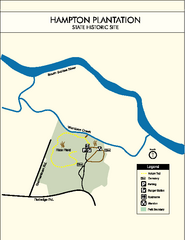
Hampton Plantation State Park Map
Clear and easy to read map.
565 miles away
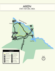
Aiken State Park Map
Small and simple state park map.
565 miles away
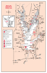
Rend Lake State Park, Illinois Site Map
568 miles away
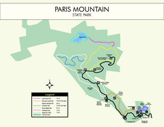
Paris Mountain State Park Map
Clearly labeled map of this beautiful state park.
569 miles away
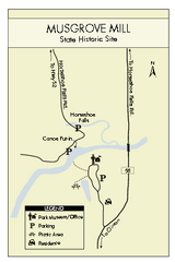
Musgrove Mill State Park Map
Clearly marked state park map.
580 miles away
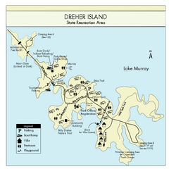
Dreher Island State Park Map
Clearly labeled state park map.
586 miles away
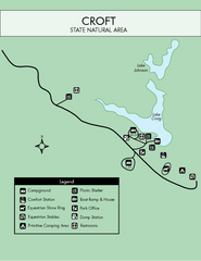
Croft State Park Map
Simple state park map.
591 miles away
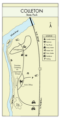
Colleton State Park Map
Detailed map and map legend of this beautiful state park.
600 miles away
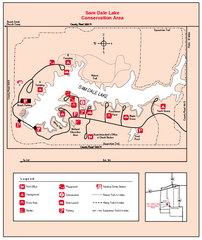
Sam Dale Lake, Illinois Site Map
601 miles away
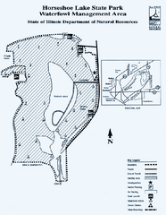
Horseshoe Lake State Park, Illinois Site Map
605 miles away
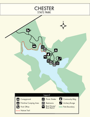
Chester State Park Map
Simple and clear state park map.
613 miles away
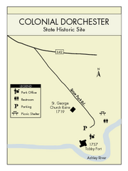
Colonial Dorchester State Park Map
Office, parking, picnic sites and more are all clearly marked on this state park site.
623 miles away
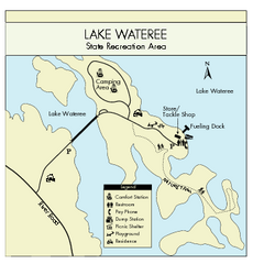
Lake Wateree State Park Map
Clear map of State Park.
623 miles away
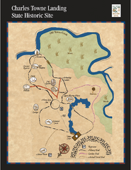
Charles Towne Landing State Park Map
This small park is full of beautiful hiking trails set in a natural setting.
630 miles away
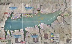
Winfield City Lake Map
Recreation map of Winfield City Lake in Winfield, Kansas. Named Timber Creek Lake. Shows camping...
642 miles away
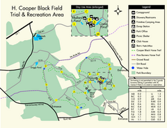
H. Cooper Black Field Map
Detailed map and legend of this state park.
674 miles away
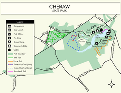
Cheraw State Park Map
Clear and descriptive state park map.
678 miles away
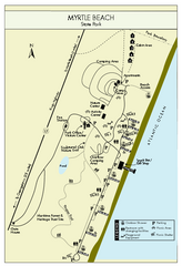
Myrtle Beach State Park Map
Clearly marked state park map
706 miles away
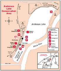
Anderson Lake, Illinois Site Map
709 miles away
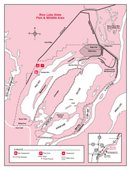
Rice Lake, Illinois Site Map
725 miles away
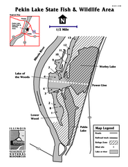
Pekin Lake, Illinois Site Map
734 miles away
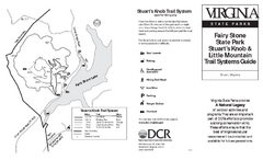
Fairy Stone State Park Map
Clearly marked state park map with trail system.
747 miles away
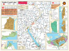
Tuttle Creek Lake Map
Army Corps of Engineers Map of Tuttle Creek Lake and adjoining State Parks.
748 miles away


 Explore Maps
 Map Directory
