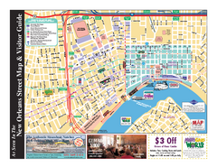
New Orleans French Quarter Map
Tourist street map of French Quarter in city of New Orleans, Louisiana
0 miles away
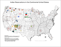
Indian Reservations in the Continental United...
Shows the location of Federal Indian Reservations in the continental United States
591 miles away
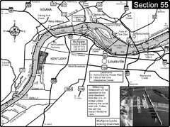
Ohio River at Louisville, KY & Southern...
This is from the Ohio River Guidebook
625 miles away
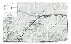
Santa Fe Trail Visitor Map
Map of the Santa Fe Trail showing all hiking trails, camping and picnic areas, roads, and monuments...
956 miles away
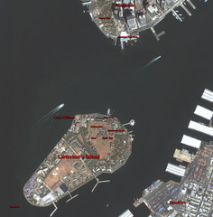
Governor's Island Map
Aerial photo view map of Governor's Island, New York
1168 miles away
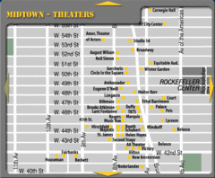
Broadway Theatre New York City Map
1169 miles away
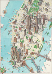
Manhattan New York Map
Aerial map of New York illustrated by UK illustrator Katherine Baxter.
1172 miles away
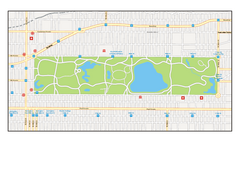
Central Park, New York Map
Central Park, New York map. A very detailed map with all roads, metro station and importand...
1174 miles away
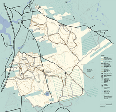
Freetown-Fall River State Forest trail map
Trail map of Freetown-Fall River State Forest in Massachusetts
1338 miles away
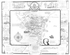
Hampton, New Hampshire Historical Map
Historical map of Hampton, New Hampshire. Illustrated map includes roads and historical buildings.
1391 miles away
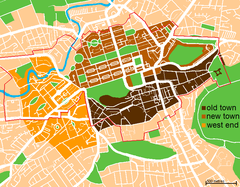
Map of Edinburgh
Shows the new town and old town of Edinburgh.
4419 miles away
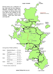
Great Barrier Island Map
On this website you will find comprehensive information about Great Barrier Island including all...
7642 miles away
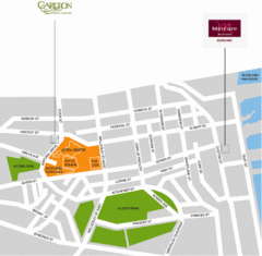
Central Auckland Map
7693 miles away
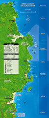
Abel Tasman National Park Map
7884 miles away
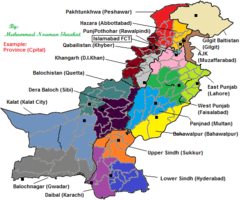
Pakistan New Provinces Map
It is only a suggested map of new provinces of Pakistan according to me. If provinces are made so...
8031 miles away
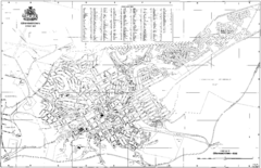
Grahamstown Street Map
Street map of Grahamstown, South Africa. Home of Rhodes University.
8767 miles away


 Explore Maps
 Map Directory
