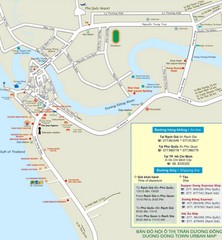
Duong Dong Town Map
Map of Duon Dong, Phu Quoc Island
0 miles away

Bailan Bay Beach Tourist Map
169 miles away
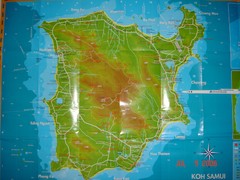
Ko Samui Tourist Map
Tourist map of island of Koh Samui, Thailand. From photo with pen on top.
274 miles away
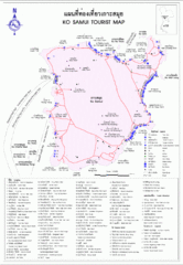
Koh Samui Island Tourist Map
274 miles away
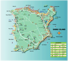
Samui Tourist Map
Tourist map of island of Samui, Thailand. Shows points of interest.
275 miles away
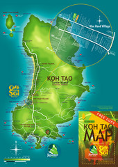
Koh Tao Tourist Map
An island famous for its diving
281 miles away
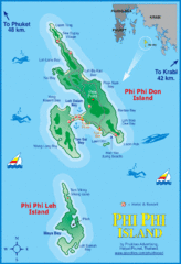
Phi Phi Island Map
394 miles away
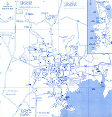
Phuket Map
Map of Phuket, Thailand's largest island. In Thai.
411 miles away
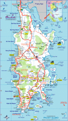
Phuket Island Tourist Map
413 miles away
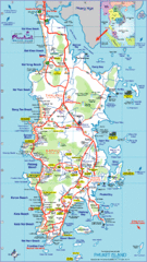
Phuket Island Tourist Map
Tourist map of Phuket Island, Thailand. Shows points of interest.
413 miles away
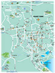
Phuket Town Tourist Map
Tourist map of town of Phuket, Thailand. Shows points of interest.
413 miles away
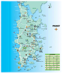
Phuket Tourist Map
Tourist map of island of Phuket, Thailand. Shows points of interest.
414 miles away
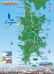
Phuket Island Tourist Map
414 miles away
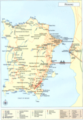
Penang Island Map
420 miles away
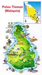
Tioman Island Map
513 miles away
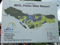
Pulao Ubin Island Trail Map
Trail map of Pulao Ubin Island, Singapore. Shows trails and facilities. From photo of sign.
608 miles away
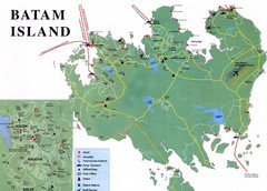
Batam Tourist Map
Tourist map of Batam island, Indonesia. Shows all ferry terminals, airport, and other useful info...
631 miles away
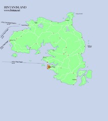
Bintan Island Map
Overview map of Bintan Island
637 miles away
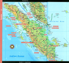
Sumatra Overview Map
Detailed map of island of Sumatra, Indonesia. Scanned.
752 miles away
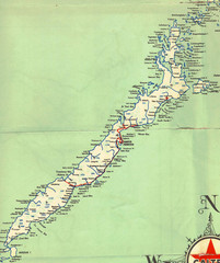
Palawan Island Road Map
993 miles away
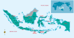
Indonesia Overview map
Shows regions of Indonesia and inset map shows Indonesia in context of rest of world.
1024 miles away
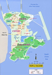
Taipa and Coloane Tourist Map
Tourist map of Taipa Island and the Cotai Strip, Macau. Shows hotels, casinos, and points of...
1042 miles away
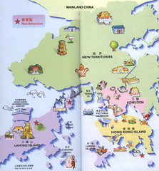
Hong Kong Area Tourist Map
Tourist map of Hong Kong and surrounding areas in China. In Chinese and English. Scanned.
1080 miles away
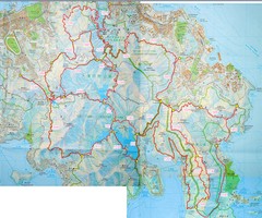
Hong Kong East Running Map
1081 miles away
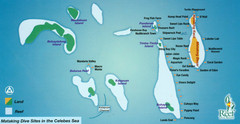
Mataking Island Diving Map
Mataking is a private island next to Sipadan, north of Mabul.
1093 miles away
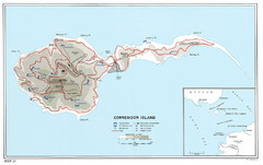
Corregidor Island WWII Map
Shows World War II fortifications on Corregidor Island, Philippines
1159 miles away
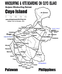
Cuyo Island Palawan Philippine Map
Cuyo is part of a group of 45 islets known as Quiniluban. It lies south of Mindoro and between...
1162 miles away
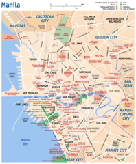
Manila Tourist Map
1188 miles away
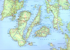
Visayas Islands Map
1313 miles away
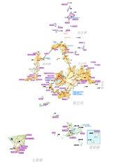
Penghu County Map
Overview map of islands of Penghu County, Taiwan. In Chinese.
1378 miles away
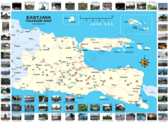
East Java Tourism Map
Tourist map of East Java, Indonesia. Shows photos of points of interest.
1379 miles away
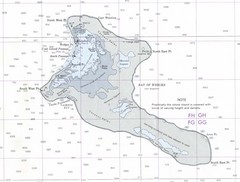
Kiritimati (Christmas) Island Tourist Map
1434 miles away
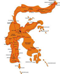
Sulawesi Island Map
Tourist map of island of Sulawesi, Indonesia.
1435 miles away
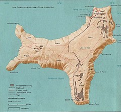
Christmas Island Tourist Map
1436 miles away
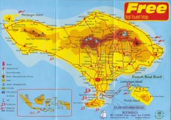
Bali Tourist Map
Tourist map of island of Bali. Shows points of interest. Scanned.
1500 miles away
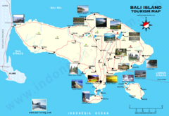
Bali Tourist Map
Tourist map of island of Bali, Indonesia. Shows photos of points of interest.
1500 miles away
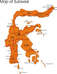
Sulawesi Overview Map
Overview map of island of Sulawesi, Indonesia. Shows major towns and airports.
1501 miles away


 Explore Maps
 Map Directory
