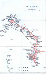
Eleuthera Island Map
0 miles away
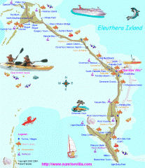
Eleuthera Tourist Map
Tourist map of Eleuthera Island of the Bahamas.
10 miles away
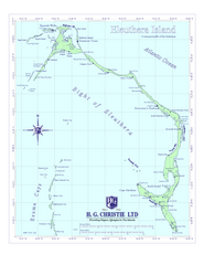
Eleuthera Island Map
17 miles away
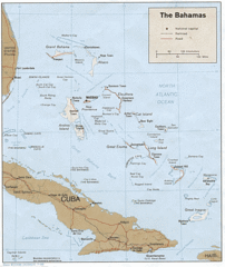
Bahamas Tourist Country Map
71 miles away
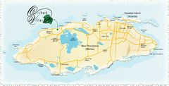
Nassau Island Map
72 miles away
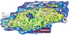
Nassau New Providence Island Map
Tourist map of New Providence Island, Bahamas
72 miles away
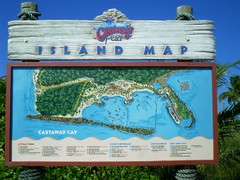
Castaway Cay Island Tourist Map
Tourist map of Disney's private Castaway Cay Island in the Bahamas. From photo of sign.
101 miles away
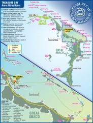
Abaco Bahamas tourist map
Tourist maps of Great and Little Abaco Islands in the Bahamas of the Caribbean. Shows diving sites...
116 miles away
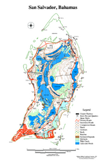
San Salvador map
Tourist map of San Salvador in the Bahamas.
137 miles away
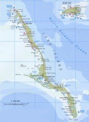
Tourist map of Long Island in the Bahamas
Tourist map of Long Island and Rum Cay in the Bahamas.
152 miles away
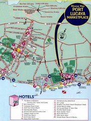
Freeport tourist map
Tourist map of Freeport on Grand Bahama Island in the Bahamas.
177 miles away
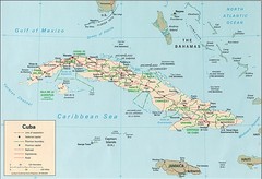
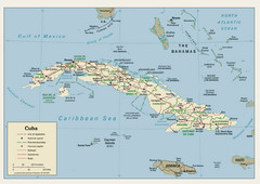
Cuba Country Tourist Map
271 miles away
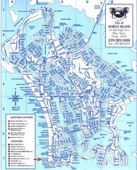
Marco Island Map
344 miles away
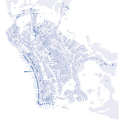
Marco Island Hotel Map
Hotel map of Marco Island, Florida
344 miles away
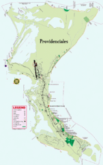
Providenciales Island Map
Overview map of island of Providenciales, Turks and Caicos.
347 miles away
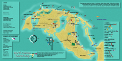
North Caicos Tourist Map
Tourist map of island of North Caicos, Turks and Caicos.
356 miles away
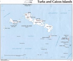
Maps of Turks and Caicos Islands Map
Map of Turks and Caicos Islands in the Carribbean
364 miles away
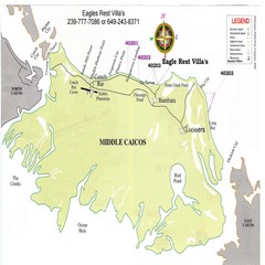
Middle Caicos Island map
Overview map of Middle Caicos island, Turks and Caicos. Squeezed west-east.
369 miles away
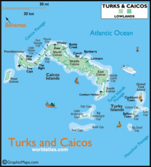
Turks and Caicos Map
Tourist map of Turks and Caicos maps
372 miles away
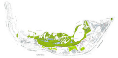
Sanibel Island and Captiva Island Map
374 miles away
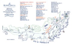
Sanibel Island Tourist Map
Tourist map of Sanibel Island, Florida
374 miles away
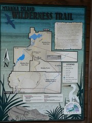
Myakka Island Trail Map
Trail map of Myakka Island. From photo.
399 miles away
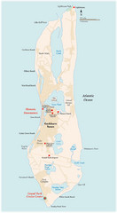
Grand Turk Island Map
Overview map of Grand Turk island, Turks and Caicos. Home of Cockburn Town, capital of Turks and...
415 miles away
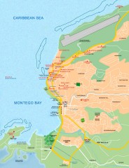
Tourist map of Montego Bay
Tourist map of Montego Bay in Jamaica.
476 miles away
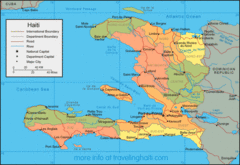
Haiti Map
Map of Haiti with detail of main districts and cities
486 miles away
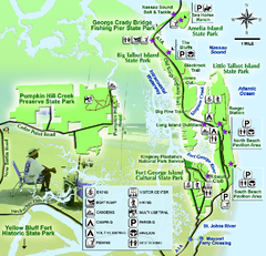
Jacksonville Area Florida State Parks Map
Overview map of Florida State Parks near Jacksonville, Florida. Shows Pumpkin Hill Creek Preserve...
486 miles away
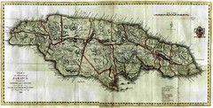
Jamaica County Map
Island map of Jamaica showing counties and parishes "Shows plantations, settlements, churches...
489 miles away
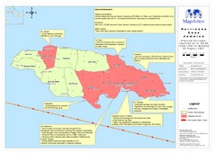
Jamaica Hurricane Dean Map 2007
Shows affected parishes
491 miles away
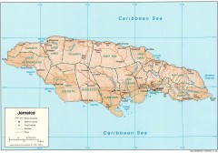
Map of Jamaica
Map of Jamaica, in the Carribbean.
494 miles away
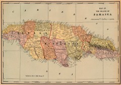
Antique map of Jamaica from 1901
"Map of the Island of Jamaica" from Cram's Modern Atlas the New Unrivaled. Published...
494 miles away

Jamaica Outline Map 1882
494 miles away
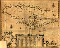
Jamaica Map
Map of historical Jamaica, including early settlements
494 miles away

Jamaica Map
Map of Jamaica, with detail of districts and main cities on the Island
494 miles away
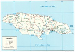
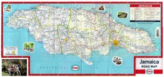
Jamaica Tourist Map
494 miles away
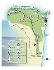
Fort Clinch State Park Map
Park map of Fort Clinch State Park in Amelia Island, Florida. Shows fort historic site, facilities...
495 miles away
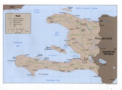
Haiti Tourist Map
499 miles away
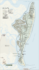
Cumberland Island National Seashore Map
Official NPS map of Cumberland Island National Seashore, Cumberland Island, Georgia. Rated #4...
504 miles away
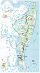
Cumberland Island Map
Map of Cumberland Island, including hiking trails and campgrounds
504 miles away


 Explore Maps
 Map Directory
