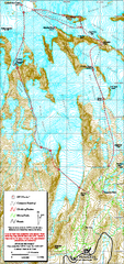
Mount Rainier Paradise Climbing Route map
Map shows all hiking and climbing routes originating from Paradise at 5,400 ft.
0 miles away
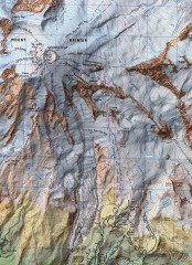
Mt. Rainier Climbing Routes Map
Shows major climbing routes on Mt. Rainier on southwest part of mountain.
2 miles away
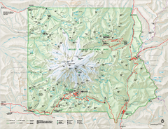
Mount Rainier National Park map
Official NPS map of Mt. Rainier National Park. Shows the entire park and surroundings
4 miles away
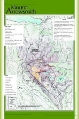
Mount Arrowsmith Climbing Route Map
Climbing routes on Mount Arrowsmith, Vancouver Island
213 miles away
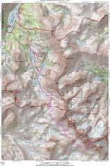
North Palisade South Lake Route Topo Map
Topo map of route from South Lake to North Palisade, 14,242 ft.
690 miles away
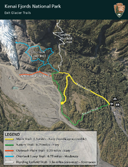
Kenai Fjords National Park Official Trail Map
Official NPS map of Kenai Fjords National Park in Alaska. Only shows hiking trails. Kenai Fjords...
1459 miles away
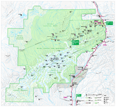
Denali National Park and Preserve map
Official NPS map of Denali National Park. Shows the entire park and surroundings. from nps.gov...
1593 miles away
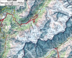
Mont Blanc topographic map
topo map of Mont Blanc, France; highest point in the Alps
5323 miles away
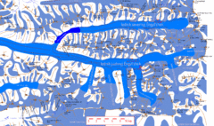
Central Tien Shan Map
Sketch of central Tien Shan between China, Kazakhstan and Kyrgyzstan. Means the "Heaven...
6152 miles away
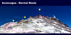
Aconcagua Normal Route Map
Shows the normal climbing route up Aconcagua, at 22,841 ft the highest mountain in the Americas and...
6369 miles away
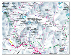
Gandaki Mountain Trail Map
Map of hiking trails for Gandaki Moutain range, Nepal.
7001 miles away
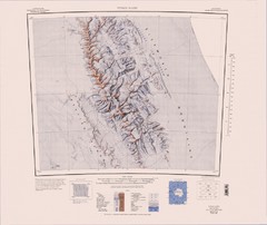
Vinson Massif Topo Map
Topo map of Vinson Massif, the highest mountain in Antarctica at 16067 ft / 4897 m. One of the...
8780 miles away
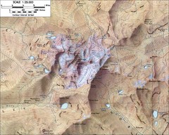
Mt. Kenya Topo Map
Topographical map of Mt. Kenya, the second highest mountain in Africa at 17058 ft
8984 miles away


 Explore Maps
 Map Directory
