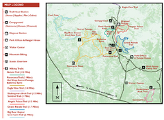
Kodachrome Basin State Park Map
Trail map of Kodachrome Basin State Park, Utah. Shows hiking trails and park facilities.
0 miles away
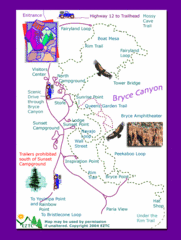
Bryce Canyon National Park Trails Map
11 miles away

Bryce Canyon Official Park Map
Official NPS map of Bryce Canyon National Park in Utah. Map shows all areas. The park is open 24...
11 miles away
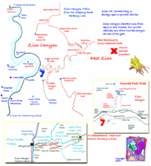
Zion National Park Trails Map
55 miles away
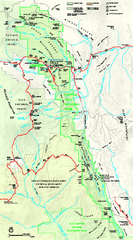
Capitol Reef National Park Official Map
Official NPS map of Capitol Reef National Park in Utah. Map shows all areas. The park and...
63 miles away
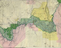
Grand Canyon National Park Map
Grand Canyon National Park including Kaibab National Forest and Coconino Plateau
87 miles away
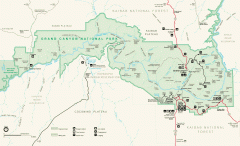
Grand Canyon National Park map
Official map of Grand Canyon National Park. Currently not available on the NPS website
89 miles away
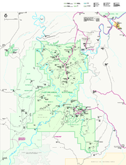
Canyonlands National Park Official Park Map
Official NPS map of Canyonlands National Park. Located in Utah. Map shows all areas but does not...
125 miles away
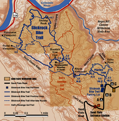
Slickrock Trail Map
Trail map of the famous Slickrock mountain biking trail in Moab, Utah. Trail distances shown. 10...
153 miles away
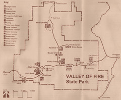
Valley of Fire State Park Map
Scanned from park brochure
157 miles away
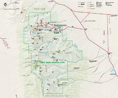
Great Basin National Park Map
Official NPS park map of Great Basin National Park. Shows all roads, trails, and facilities...
159 miles away
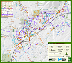
Flagstaff Urban Trails and Bikeways Map
161 miles away
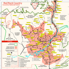
Red Rock County Trail Map
Trail map of trails of Red Rock County, AZ around Sedona, AZ. Shows trailheads and trail names.
182 miles away
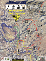
Dead Horse Trail System Map
Trail map of area surrounding Dead Horse State Park in Clarkdale, Arizona
189 miles away
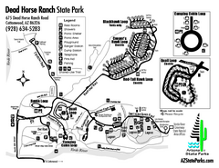
Dead Horse Ranch State Park Map
Map of park with detail of trails and recreation zones
191 miles away
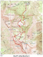
Mount Timpanogos Trail Map
Trail map of Mount Timpanogos 11,749 feet, in the Mount Timpanogos Wilderness Area, Utah. One of...
201 miles away
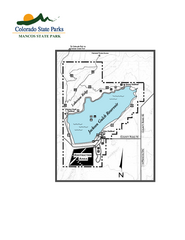
Mancos State Park Map
Map of park with detail of recreation zones
205 miles away
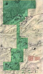
Petrified Forest National Park Map
Petrified Forest National Park Map with trails, vistiors centers and park area marked.
209 miles away
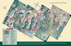
Snowbird/Alta area Summer Mountain Biking/Hiking...
Map showing all hiking and mountain biking trails in the Alta/Snowbird area.
212 miles away
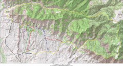
Fruita 18 Road Trail Map
Mountain biking trail map of the 18 Road area in Fruita, CO including Chutes & Ladders, Zipity...
219 miles away
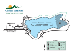
Sweitzer Lake State Park Map
Map of park with detail of recreation zones
231 miles away
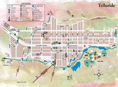
Telluride Town Map
231 miles away
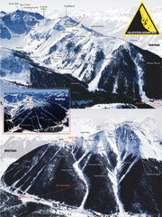
Silverton Ski Trail Map
Ski trail map of Silverton Mountain in Silverton, Colorado. Lift-serviced backcountry conditions...
237 miles away
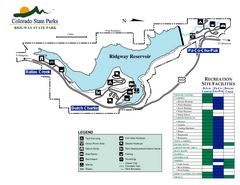
Ridgway State Park Map
Map of park with detail of recreation zones
238 miles away
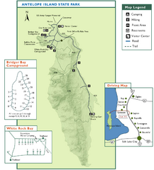
Antelope Island State Park Map
Trail map of Antelope Island State Park in the Great Salt Lake, Utah. Shows campgrounds.
238 miles away
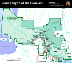
Black Canyon of the Gunnison National Park Map
Official NPS map of Black Canyon of the Gunnison in Colorado. Shows all areas including the South...
247 miles away
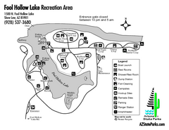
Fool Hollow Lake Recreation Area Map
Map of recreation area with detail of trails and recreation zones
249 miles away
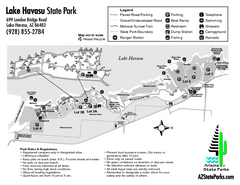
Lake Havasu State Park Map
Map of park with detail of trails and recreation zones
250 miles away
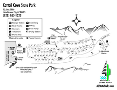
Cattail Cove State Park Map
Map of park with detail of trails and recreation zones
250 miles away
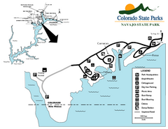
Navajo State Park Map
Map of park with detail of recreation zones
252 miles away

Snowbasin Nordic Trail Map
Nordic trail map of Snowbasin resort, Utah
255 miles away
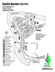
Buckskin Mountain State Park Map
Map of park with detail of trails and recreation zones
256 miles away
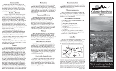
Vega State Park Map
Map of park with detail of recreation zones and campgrounds
257 miles away
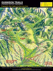
Gunnison Proposed Trails Map
Shows proposed trails from Gunnison, Colorado to Crested Butte, Colorado
287 miles away
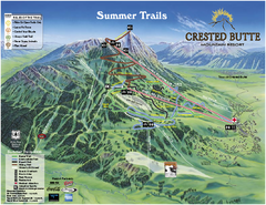
Crested Butte Mountain Resort Summer Trail Map
Official Crested Butte Mountain Resort summer trail map. Created by James Niehues.
291 miles away
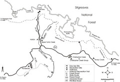
Tonto Creek in Tonto National Forest Map
Printable map for Tonto Creek area of Tonto National Forest with creek and amenenties shown on map.
297 miles away
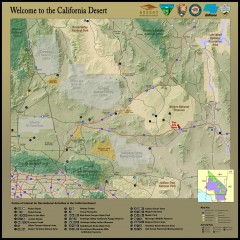
California Desert Recreation Map
Shows points of interest for recreational activities in the California desert
308 miles away
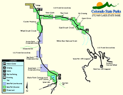
Sylvan Lake State Park Map
Map of park with detail of recreation zones and campgrounds
316 miles away
Yampa River State Park Map
Map of park with detail of recreation zones
322 miles away
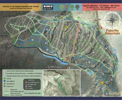
Pojarito Mountain bike Trail Map
Bike trail for Pojarito Mountain, New Mexico
330 miles away


 Explore Maps
 Map Directory
