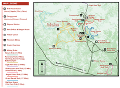
Kodachrome Basin State Park Map
Trail map of Kodachrome Basin State Park, Utah. Shows hiking trails and park facilities.
0 miles away

Bryce Canyon National Park Map
11 miles away
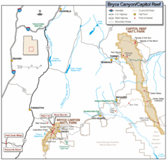
Bryce Canyon National Park Map
Roads, highways, rivers and points of interest are clearly marked on this simple map.
11 miles away

Bryce Canyon Official Park Map
Official NPS map of Bryce Canyon National Park in Utah. Map shows all areas. The park is open 24...
11 miles away

Zion Canyon Map
A detailed map of the Zion Canyon in Zion National Park
59 miles away
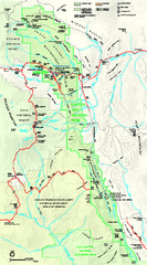
Capitol Reef National Park Official Map
Official NPS map of Capitol Reef National Park in Utah. Map shows all areas. The park and...
63 miles away
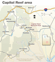
Capitol Reef National Park Map
Clear map marking major highways and cities.
67 miles away
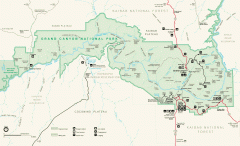
Grand Canyon National Park map
Official map of Grand Canyon National Park. Currently not available on the NPS website
89 miles away
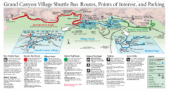
Grand Canyon Shuttle Bus Map
Guide to shuttle bus routes, points of interest and parking in Grand Canyon National Park
104 miles away
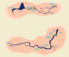
Grand Canyon River Rafting Map
Guide to the Colorado River, Grand Canyon river rafting
120 miles away
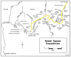
Grand Canyon River Expedition Map
Guide to the Colorado River, rapids and washes
122 miles away
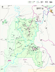
Canyonlands National Park Official Park Map
Official NPS map of Canyonlands National Park. Located in Utah. Map shows all areas but does not...
125 miles away
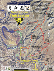
Dead Horse Trail System Map
Trail map of area surrounding Dead Horse State Park in Clarkdale, Arizona
189 miles away
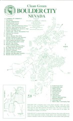
Boulder City Map
Map of Boulder City, Nevada. Shows points of interest and parks.
190 miles away
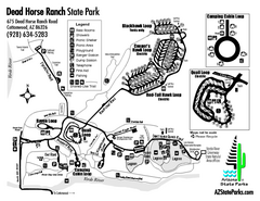
Dead Horse Ranch State Park Map
Map of park with detail of trails and recreation zones
191 miles away
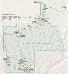
Mesa Verde National Park Official Park Map
Official NPS map of Mesa Verde National Park in Colorado. Mesa Verde National Park is open year...
196 miles away
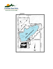
Mancos State Park Map
Map of park with detail of recreation zones
205 miles away
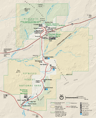
Petrified Forest National Park Official Park Map
Official NPS map of Petrified Forest National Park in Arizona. Open year round except Christmas...
207 miles away
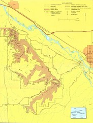
Colorado National Monument Map
Map of Colorado National Monument and surrounding areas.
209 miles away
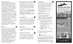
Highline Lake State Park Map
Map of park with detail of recreation areas
210 miles away
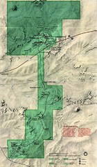
Petrified Forest Map
Map of the Petrified Forest, Painted Desert and Rainbow Forest. Shows all roads, tourist...
212 miles away
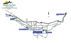
James M Robb Colorado River State Park Map
Overview map of park along lake
214 miles away
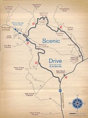
Red Rock Canyon Trail Map
Hiking trail map
214 miles away
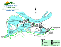
Connected Lakes State Park Map
Map of connected lakes section of the James M Robb Colorado River State Park
215 miles away
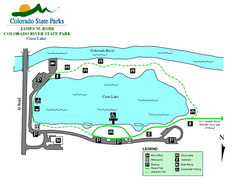
Corn Lake State Park Map
Map of corn lake section of the James M Robb Colorado River State Park
216 miles away
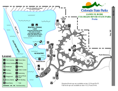
Fruita Area State Park Map
Map of fruita section of the James M Robb Colorado River State Park
218 miles away
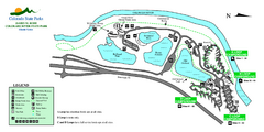
Island Acres State Park Map
Map of island acres section of the James M Robb Colorado River State Park
219 miles away
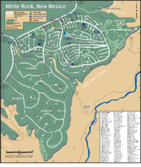
White Rock Road Map
Large and detailed map marking points of interest and roads.
229 miles away
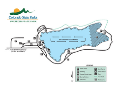
Sweitzer Lake State Park Map
Map of park with detail of recreation zones
231 miles away
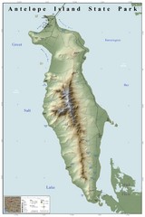
Antelope Island State Park Map
Shaded relief map of Antelope Island State Park, Utah. Shows facilities, peaks, and springs...
237 miles away
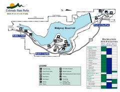
Ridgway State Park Map
Map of park with detail of recreation zones
238 miles away
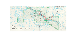
Chaco Culture National Historical Park Official...
Official NPS map of Chaco Culture National Historical Park in New Mexico. The park is open...
246 miles away
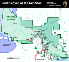
Black Canyon of the Gunnison National Park Map
Official NPS map of Black Canyon of the Gunnison in Colorado. Shows all areas including the South...
247 miles away
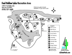
Fool Hollow Lake Recreation Area Map
Map of recreation area with detail of trails and recreation zones
249 miles away
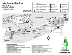
Lake Havasu State Park Map
Map of park with detail of trails and recreation zones
250 miles away
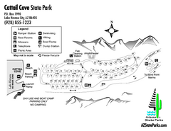
Cattail Cove State Park Map
Map of park with detail of trails and recreation zones
250 miles away
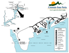
Navajo State Park Map
Map of park with detail of recreation zones
252 miles away
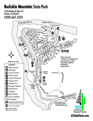
Buckskin Mountain State Park Map
Map of park with detail of trails and recreation zones
256 miles away
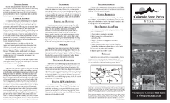
Vega State Park Map
Map of park with detail of recreation zones and campgrounds
257 miles away
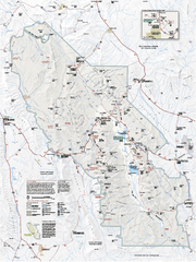
Death Valley National Park map
Official NPS map of Death Valley National Park. Shows all roads (paved and unpaved), 4 wheel drive...
273 miles away


 Explore Maps
 Map Directory
