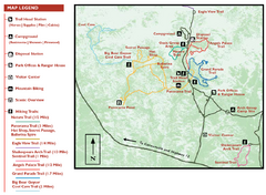
Kodachrome Basin State Park Map
Trail map of Kodachrome Basin State Park, Utah. Shows hiking trails and park facilities.
0 miles away
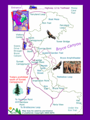
Bryce Canyon National Park Trails Map
11 miles away

Bryce Canyon Official Park Map
Official NPS map of Bryce Canyon National Park in Utah. Map shows all areas. The park is open 24...
11 miles away
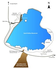
Sand Hollow State Park Map
With its warm, blue waters and red sandstone landscape, Utah's newest state park is also one...
27 miles away
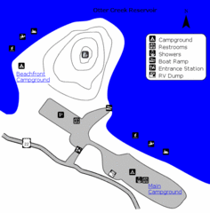
Otter Creek Reservoir Map
This quiet getaway is a great destination for ATV riders, boaters, and birders. Access three ATV...
47 miles away
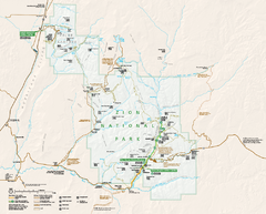
Zion National Park Official map
Official park map of Zion National Park. Shows trails, roads, and all park facilities.
57 miles away
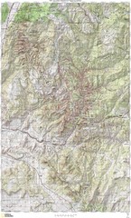
Zion National Park Topography Map
58 miles away
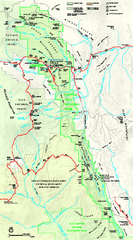
Capitol Reef National Park Official Map
Official NPS map of Capitol Reef National Park in Utah. Map shows all areas. The park and...
63 miles away
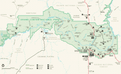
Grand Canyon National Park map
Official map of Grand Canyon National Park. Currently not available on the NPS website
89 miles away
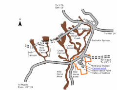
Goblin Valley State Park Map
The vast landscape of sandstone goblins may have visitors wondering if they're in Mars or Utah...
100 miles away
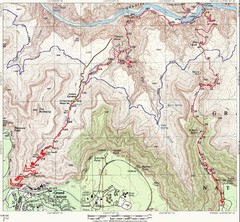
Grand Canyon Hiking Trail Map
Topo map of the Grand Canyon with a loop hike down the South Kaibab Trail and up Bright Angel Trail...
101 miles away
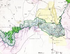
Grand Canyon Map
Guide to the Grand Canyon National Park
117 miles away
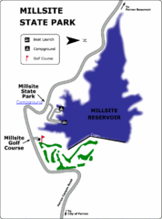
Millsite State Park Map
Camp in the quiet campground, and boat and fish on the blue waters of Millsite Reservoir. Play 18...
118 miles away
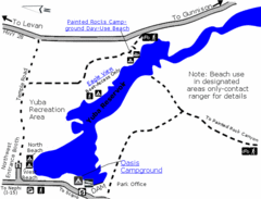
Yuba State Park Map
The sprawling waters of Yuba State Park provide a variety of recreation opportunities for visitors...
125 miles away
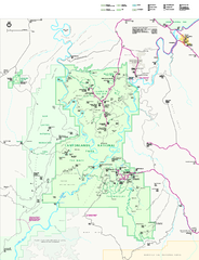
Canyonlands National Park Official Park Map
Official NPS map of Canyonlands National Park. Located in Utah. Map shows all areas but does not...
125 miles away
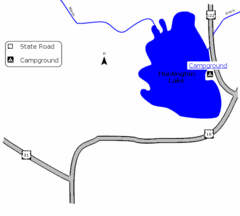
Huntington Lake State Park Map
Take a hike around this beautiful lake.
139 miles away
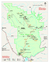
Arches National Park Official map
Official NPS park map of Arches National Park. Shows trails, roads, and all park facilities.
156 miles away
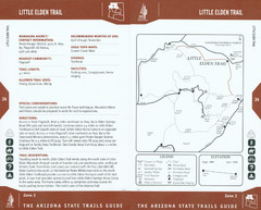
Little Elden Trail Map
Guide to Little Elden Trail near Flagstaff, AZ
156 miles away
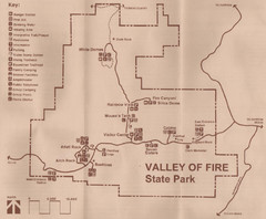
Valley of Fire State Park Map
Scanned from park brochure
157 miles away
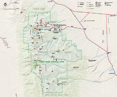
Great Basin National Park Map
Official NPS park map of Great Basin National Park. Shows all roads, trails, and facilities...
159 miles away
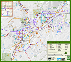
Flagstaff Urban Trails and Bikeways Map
161 miles away
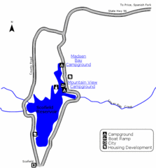
Scofield State Park Map
Camp, boat, and fish at this summer and winter recreation destination situated high in the Manti...
162 miles away
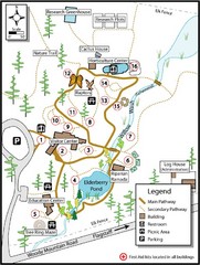
Flagstaff Arboretum Map
162 miles away
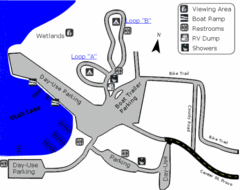
Utah Lake State Park Map
Utah's largest freshwater lake provides fishing access for channel catfish, walleye, white...
188 miles away
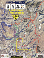
Dead Horse Trail System Map
Trail map of area surrounding Dead Horse State Park in Clarkdale, Arizona
189 miles away
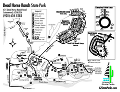
Dead Horse Ranch State Park Map
Map of park with detail of trails and recreation zones
191 miles away
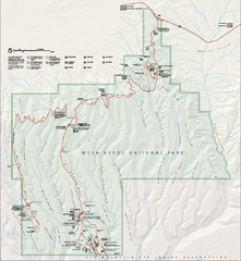
Mesa Verde National Park Official Park Map
Official NPS map of Mesa Verde National Park in Colorado. Mesa Verde National Park is open year...
196 miles away
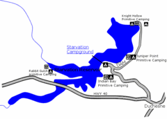
Starvation State Park Map
The sprawling waters of Starvation Reservoir offer great fishing and boating. Find a secluded...
201 miles away
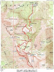
Mount Timpanogos Trail Map
Trail map of Mount Timpanogos 11,749 feet, in the Mount Timpanogos Wilderness Area, Utah. One of...
201 miles away
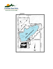
Mancos State Park Map
Map of park with detail of recreation zones
205 miles away
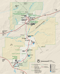
Petrified Forest National Park Official Park Map
Official NPS map of Petrified Forest National Park in Arizona. Open year round except Christmas...
207 miles away
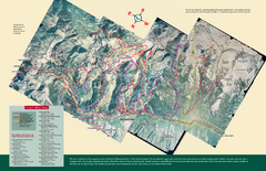
Snowbird/Alta area Summer Mountain Biking/Hiking...
Map showing all hiking and mountain biking trails in the Alta/Snowbird area.
212 miles away
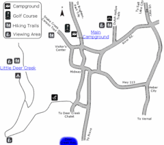
Wasatch Mountain State Park Map
Year-round adventure awaits - golf, hike, bike, camp, horseback ride, snowmobile, cross-country ski...
213 miles away
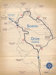
Red Rock Canyon Trail Map
Hiking trail map
214 miles away
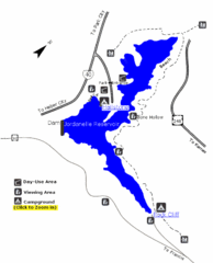
Jordanelle State Park Map
Jordanelle State Park is located in a picturesque mountain setting near Heber City. The park offers...
217 miles away
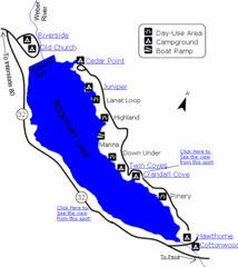
Rockport State Park Map
Find first-rate, year-round recreation at this northern Utah destination. During summer, fish, boat...
227 miles away
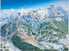
Telluride, Colorado Trail Map
231 miles away
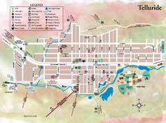
Telluride Town Map
231 miles away
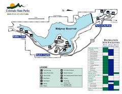
Ridgway State Park Map
Map of park with detail of recreation zones
238 miles away
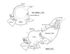
Utah Field House of Natural History Map
So much time is revealed here, even more geologic time than in the Grand Canyon. Within an 80-mile...
243 miles away


 Explore Maps
 Map Directory
