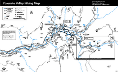
Yosemite Valley Trail Map
Trail map of hiking trails in Yosemite Valley, Yosemite National Park, California.
0 miles away
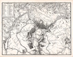
Yosemite National Park Map
Map of Yosemite National Park, 1948
3 miles away
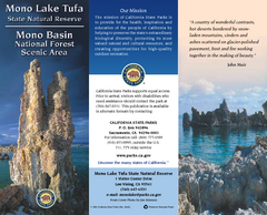
Mono Lake Tufa State Natural Reserve Map
Map of reserve with detail of trails and recreation zones
36 miles away

Bodie State Park SW Map
Map of park with detail of trails and recreation zones
45 miles away

Bodie State Park SE Map
Map of park with detail of trails and recreation zones
45 miles away
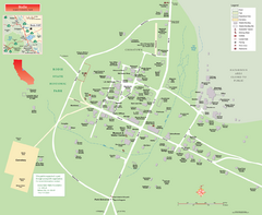
Bodie State Park Map
Map of park with detail of trails and recreation zones
45 miles away

Bodie State Park NW Map
Map of park with detail of trails and recreation zones
46 miles away

Bodie State Park NE Map
Map of park with detail of trails and recreation zones
46 miles away
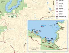
Millerton Lake State Recreation Area SE Map
Map of SE region of park with detail of trails and recreation zones
48 miles away
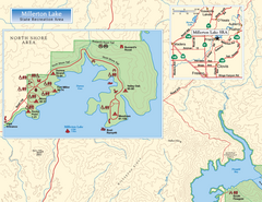
Millerton Lake State Recreation Area NW Map
Map of NW region of park with detail of trails and recreation zones
48 miles away

Millerton Lake State Recreation Area NE Map
Map of NE region of park with detail of trails and recreation zones
48 miles away
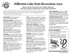
Millerton Lake State Recreation Area Campground...
Map of campground region of park with detail of trails and recreation zones
48 miles away
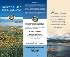
Millerton Lake State Recreation Area Map
Map of park with detail of trails and recreation zones
48 miles away
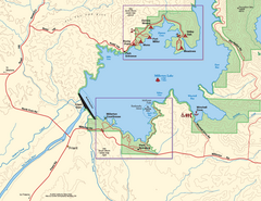
Millerton Lake State Recreation Area SW Map
Map of SW region of park with detail of trails and recreation zones
49 miles away
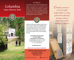
Columbia State Historic Park Map
Map of park with detail of trails and recreation zones
49 miles away
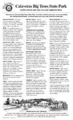
Calaveras Big Trees State Park Map
Map of park with detail of trails and recreation zones
52 miles away
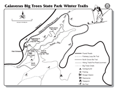
Calaveras Big Trees State Park Winter Map
Map of park with detail of winter ski trails and recreation zones
52 miles away
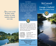
McConnell State Recreation Area Map
Map of park with detail of trails and recreation zones
66 miles away
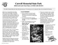
Caswell Memorial State Park Campground Map
Map of park with detail of trails and recreation zones
87 miles away
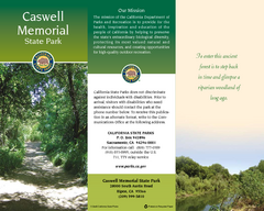
Caswell Memorial State Park Map
Map of park with detail of trails and recreation zones
87 miles away
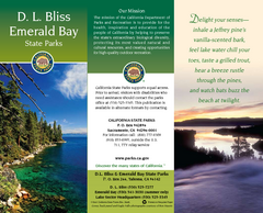
D.L. Bliss State Park Map
Map of park with detail of trails and recreation zones
90 miles away
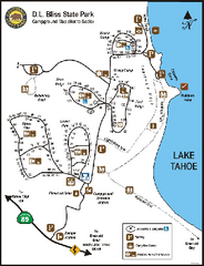
D.L. Bliss State Park Campground Map
Map of park with detail of trails and recreation zones
90 miles away
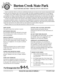
Burton Creek State Park Map
Map of park with detail of trails and recreation zones
104 miles away
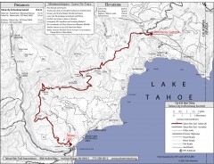
Tahoe Rim Trail: Tahoe City to Brockway Summit Map
Topographic hiking map of the Tahoe City-Brockway Summit leg of the Tahoe Rim Trail. Shows trail...
107 miles away
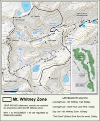
Mt. Whitney Zone Map
Zone map of Mt. Whitney area. Shows trail from Whitney Portal and Zone requiring Limited Use...
109 miles away
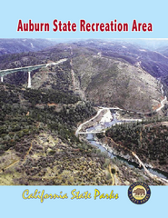
Auburn State Recreation Area Map
Map of park with detail of of trails and recreation zones
113 miles away
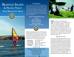
Brannan Island & Franks Tract State...
Map of park with detail of trails and recreation zones
118 miles away
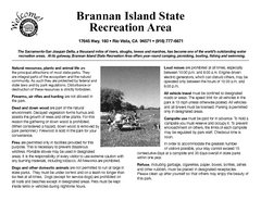
Brannan Island Campground Map
Map of park with detail of trails and recreation zones
118 miles away
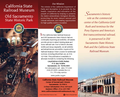
Old Sacramento State Historic Park Map
Map of park and museum with detail of trails and recreation zones
119 miles away
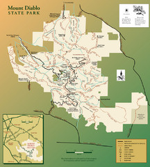
Mt. Diablo State Park Map
Trail map of Mt. Diablo State Park near Walnut Creek, CA
128 miles away

Colonel Allensworth State Historic Park Map
Map of park with detail of trails and recreation zones
130 miles away
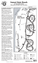
Sunset State Beach Campground Map
Map of park with detail of trails and recreation zones
137 miles away
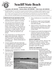
Seacliff State Beach Campground Map
Map of campground region of beach and park with detail of trails and recreation zones
138 miles away
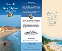
Seacliff & New Brighton State Beaches Map
Map of beaches and parks with detail of trails and recreation zones
139 miles away
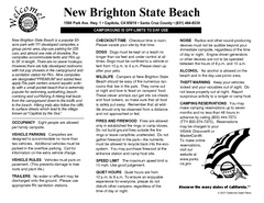
New Brighton State Beach Campground Map
Map of campground region of beach/park with detail of trails and recreation zones
139 miles away
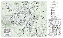
Briones Regional Park Trail Map
Trail map of Briones Regional Park in East Bay.
140 miles away
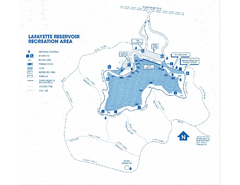
Lafayette Reservoir Recreation Area Map
140 miles away
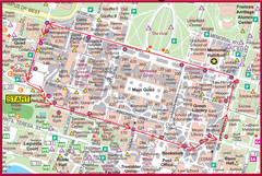
Cardinal Walk Map
Map of Stanford University campus with Cardinal Walk detail
143 miles away
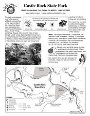
Castle Rock State Park Map
Map of park with detail of trails and recreation zones
143 miles away
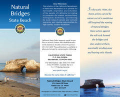
Natural Bridges State Beach Map
Map of beach and park with detail of trails and recreation zones
146 miles away


 Explore Maps
 Map Directory
