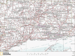
Connecticut Canoeing and Kayaking Lakes Map
A map of the lakes and ponds that are open for canoeing and kayaking in Connecticut. For detailed...
0 miles away
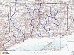
Connecticut Rivers and Coastal Paddling Map
This is a map of paddling areas for rivers and coastal kayaking. Follow the link below for...
3 miles away
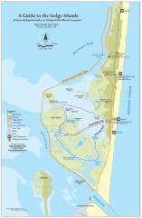
Island Beach State Park Canoe and Kayak map
Canoe and kayak guide to the Sedge islands in Island Beach State Park near Barnegat Bay, NJ. The...
144 miles away
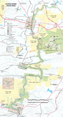
Lehigh Gorge State Park Map
Detailed recreation map for Lehigh Gorge State Park in Pennsylvania
167 miles away
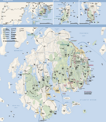
Acadia National Park Map
Official map of Acadia National Park, Maine. "Except for one mainland section, Acadia...
290 miles away
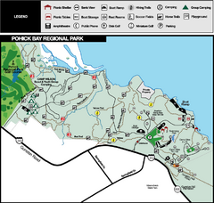
Pohick Bay Regional Park Map
Park map of Pohick Bay Regional Park near Lorton, VA on the Potomac River. Shows trails and...
314 miles away
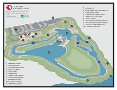
US National Whitewater Center Map
Facility map of the US National Whitewater Center in Charlotte, North Carolina
630 miles away
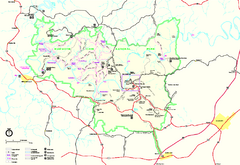
Mammoth Cave National Park Official Park Map
Official NPS map of Mammoth Cave National Park in Kentucky. Most of the park's resources and...
783 miles away
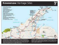
Keweenaw National Historical Park Official Map
Official NPS map of Keweenaw National Historical Park in Michigan. Map shows all areas. Park...
873 miles away
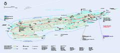
Isle Royale National Park Official Park Map
Official NPS map of Isle Royale National Park in Michigan. Isle Royale National Park is one of...
915 miles away
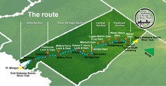
Alabama Scenic River Trail Map
631 miles of riverway. Starts in northeastern Alabama's mountains, flows through 9 lakes and...
1015 miles away
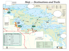
Voyageurs National Park Official Park Map
Official NPS map of Voyageurs National Park in Minnesota. Map shows all areas and hiking trails...
1092 miles away
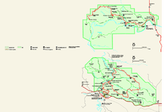
Theodore Roosevelt National Park Official Park Map
Official NPS map of Theodore Roosevelt National Park in North Dakota. Map shows both North and...
1561 miles away
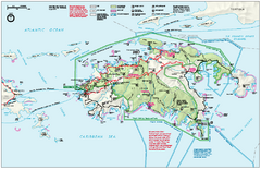
Virgin Islands National Park Map
Official NPS map of Virgin Islands National Park in the Virgin Islands. Map shows main island and...
1674 miles away
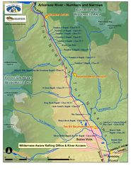
Arkansas River Numbers and Narrows Rafting Map
Rafting map of the Numbers and Narrows rapids sections of the Arkansas River near Buena Vista...
1771 miles away
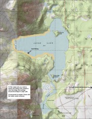
Leigh Lake Fishing Map
Fishing map of Leigh Lake in Teton National Park. From jackdennis.com: "Leigh Lake is a...
1927 miles away
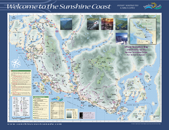
Lower Sunshine Coast Recreation Map
Recreation map of the Lower Sunshine Coast in BC. Shows hiking trails, mountain biking trails...
2485 miles away
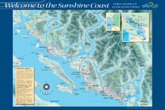
Sunshine Coast Recreation Map
Recreation map of the Sunshine Coast in BC. Shows trails for hiking (in yellow) and mountain...
2491 miles away
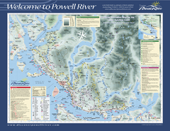
Upper Sunshine Coast Recreation Map
Recreation map of Upper Sunshine Coast in BC. Shows hiking trails, kayaking and canoeing routes...
2508 miles away
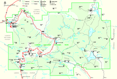
Lassen Volcanic National Park Official Park Map
Official NPS map of Lassen Volcanic National Park in California. Map shows all areas. Lassen...
2514 miles away
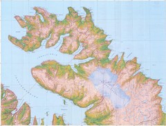
Hornstrandir Topo Map
Topo map of Hornstrandir, Iceland peninsula. Shows a kayak route.
2547 miles away
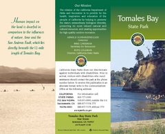
Tomales Bay State Park Map
Map of park with detail of trails and recreation zones
2643 miles away
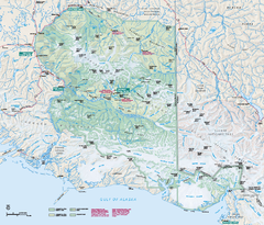
Wrangell - St Elias National Park & Preserve...
Official NPS map of Wrangell - St Elias National Park & Preserve in Alaska. The primary season...
3134 miles away
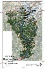
North Fork Koyukuk Watershed - Alaska Map
Map showing the North Fork Koyukuk River watershed, Alaska as explored by Bob Marshall in the 1930...
3344 miles away
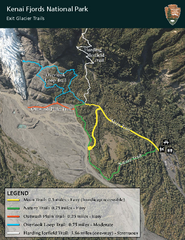
Kenai Fjords National Park Official Trail Map
Official NPS map of Kenai Fjords National Park in Alaska. Only shows hiking trails. Kenai Fjords...
3394 miles away
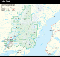
Lake Clark National Park & Preserve Park Map
Official NPS map of Lake Clark National Park & Preserve in Alaska. The park is open year-round...
3492 miles away
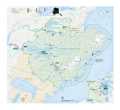
Katmai National Park & Preserve Official Park...
Official NPS map of Katmai National Park & Preserve in Alaska. Map shows all areas. The park...
3584 miles away

RadomkaRiver-kayaking Map
Radomka River - kayaking map Checked on field and verified map of Radomka River from Brzoza to...
4205 miles away
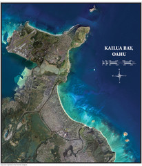
Kailua Bay Poster Map
Aerial view of Kailua Bay, Oahu, Hawaii. Shows Kailua Beach Park, rated #3 beach in America by...
5012 miles away
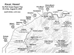
Na Pali Coast Kayak Map
Guide to kayaking the Na Pali coast in Hawaii
5070 miles away
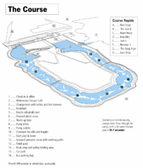
Penrith Whitewater Stadium Course Map
Whitewater rapids map of Penrith Whitewater Stadium, the competition venue for the canoe/kayak...
10044 miles away


 Explore Maps
 Map Directory
