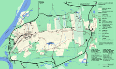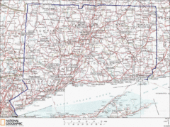
Connecticut State Parks Map
This is statewide map for Connecticut state parks. Go to the source website for detailed hiking...
0 miles away
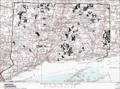
Connecticut State Forests Map
This is a map of all of the state forest boundaries in Connecticut. Follow the source web address...
2 miles away
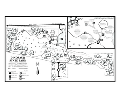
Dinosaur State Park map
Trail map of Dinosaur State Park in Connecticut.
7 miles away
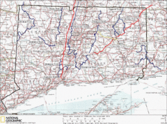
Connecticut Long Distance Trails Map
A map of long distance trails throughout Connecticut. Go to the website below for detailed trail...
9 miles away
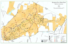
Sleeping Giant State Park map
Trail map for Sleeping Giant State Park in Connecticut.
17 miles away
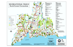
South Central Connecticut Recreational Trail Map
Map of South Central Connecticut showing all recreational trails and open spaces.
21 miles away
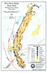
West Rock Ridge State Park map
Trail map of West Rock Ridge State Park in Connecticut.
23 miles away
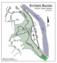
Birchbank Park Map
31 miles away
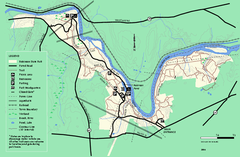
Robinson State Park trail map
Trail map of Robinson State Park in Massachusetts.
37 miles away
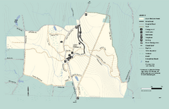
Granville State Forest trail map
Trail map of Granville State Forest in Massachusetts
39 miles away
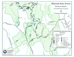
South Mohawk Mountain State Forest (Summer Trails...
Summer trails for South Mohawk State Forest in Connecticut.
40 miles away
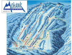
Mohawk Mountain Ski Trail Map
Ski trail map of Mohawk Mountain ski area
42 miles away
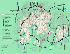
Brimfield State Forest trail map
Trail map of Brimfield State Forest in Massachusetts
42 miles away
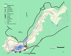
Chicopee State Park trail map
Chicopee State Park trail map
43 miles away
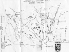
Arcadia Management Area State Map
Trail map for Arcadia Management Area in Rhode Island
44 miles away
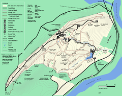
Mt. Tom State Reservation trail map
Trail map of Mt. Tom State Reservation
45 miles away
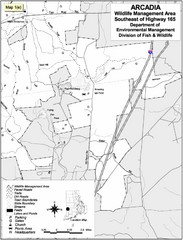
Arcadia Wildlife Management Area Map - Southeast
Reference map shows portion of Arcadia Wildlife Management Area, Rhode Island southeast of Highway...
47 miles away
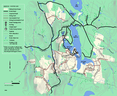
Tolland State Forest winter trail map
Winter usage trail map of the Tolland State Forest area in Massachusetts.
48 miles away
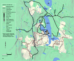
Tolland State Forest summer trail map
Summer use map for Tolland State Forest in Massachusetts.
49 miles away
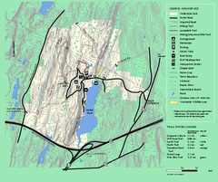
Wells State Park trail map
Trail map of Wells State Park in Massachusetts.
49 miles away
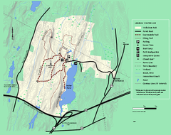
Wells State Park winter trail map
Winter use trail map of Wells State Park in Massachusetts.
49 miles away
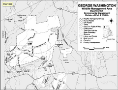
George Washington Wildlife Management Area Map
50 miles away
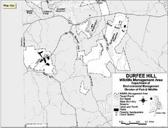
Durfee Hill Wildlife Management Area Map
50 miles away
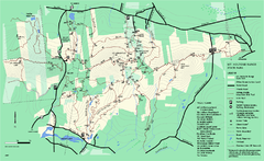
Mount Holyoke Range State Park Map
Trail map of Holyoke Range State Park.
51 miles away
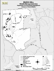
Buck Hill Wildlife Management Area Map
52 miles away
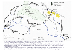
Sprague Farm - Glocester Land Trust Map
52 miles away
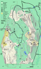
Mt. Washington State Forest trail map
Trail map of Mt. Washington State Forest
54 miles away
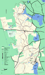
Douglas State Forest trail map
Trail map of the Douglas State Forest in Massachusetts
54 miles away
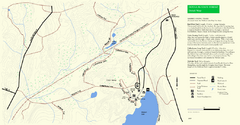
Douglas State Park Detail Map
55 miles away
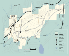
Windsor State Forest trail map
Trail map of Windsor State Forest in Massachusetts.
56 miles away
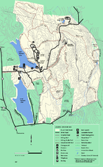
DAR State Forest summer map
Summer use map of the Daughters of the American Revolution state forest.
59 miles away
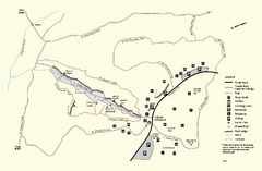
Purgatory Chasm State Reservation trail map
Trail map of Purgatory Chasm State Reservation in Massachusetts.
61 miles away
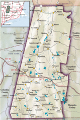
Berkshires Map
Overview map of the Berkshires region of Western Massachusetts
61 miles away
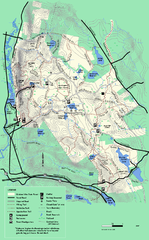
October Mountain State Forest trail map
Trail map of October Mountain State Forest in Massachusetts.
61 miles away
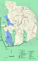
DAR State Forest winter map
Winter use map of the Daughters of the American Revolution State Forest.
62 miles away
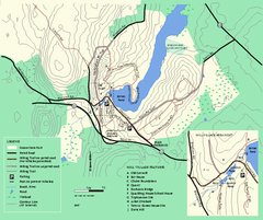
Moore State Park trail map
Trail map of Moore State Park in Massachusetts.
62 miles away
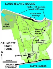
Caumsett State Park Map
Park map of Caumsett State Park on Long Island Sound, New York
63 miles away
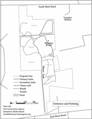
Parker Farm Trail Map
64 miles away
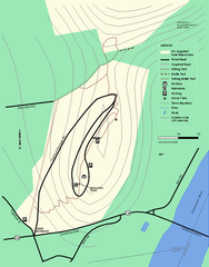
Mt. Sugarloaf State Reservation trail map
Trail map of Mount Sugarloaf State Reservation
64 miles away


 Explore Maps
 Map Directory
