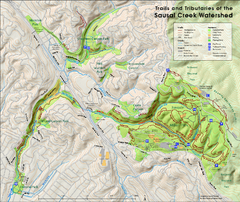
Sausal Creek Watershed Trail Map
Trail map of the Sausal Creek Watershed in Oakland, California. Show trails in Joaquin Miller Park...
0 miles away
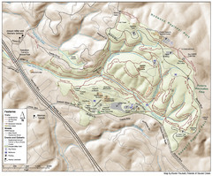
Joaquin Miller Park Map
Trail map of Joaquin Miller Park in Oakland, California. 500 acre park 9 miles from downtown...
less than 1 mile away
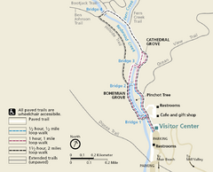
Muir Woods Trail Map
Shows paved loop walks and extended unpaved trails in Muir Woods National Monument, California
22 miles away
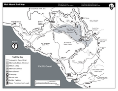
Muir Woods Trail Map
Black and white trail map of Muir Woods National Monument and surrounding Mount Tamalpais State...
22 miles away
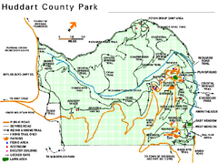
Huddart County Park Map
Trail map of Huddart County Park near Woodside, California.
27 miles away
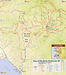
Big Basin Redwoods State Park Trail Map
Topographical trail map of Big Basin Redwoods State Park. Shows roads, trails, natural and other...
44 miles away
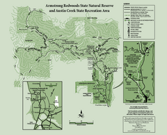
Armstrong Redwoods State Natural Reserve Map and...
Park map of Armstrong Redwoods State Natural Reserve and Austin Creek State Recreation Area in...
69 miles away
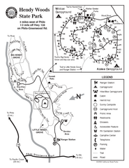
Hendy Woods State Park Map
Park map of Hendy Woods State Park in Philo, California. Shows trails, campgrounds, and other...
111 miles away

Van Damme State Park Map
Park map of Van Damme State Park near Mendocino, California. Show Fern Valley Trail through...
131 miles away
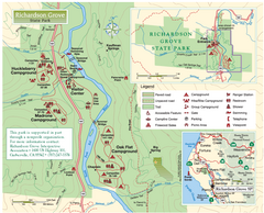
Richardson Grove State Park Map
Park map of Richardson Grove State Park, California. Shows trails, campgrounds, and other...
175 miles away
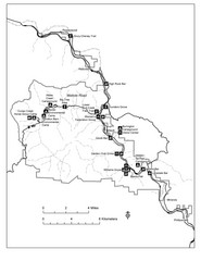
Humboldt Redwoods State Park Map
Park map of Humboldt Redwoods State Park, California. Shows Avenue of the Giants, trailheads and...
195 miles away
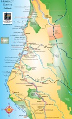
Humboldt County, California Map
Tourist map of Humboldt County, California. Shows parks, wildlife refuges, visitor centers, and...
214 miles away
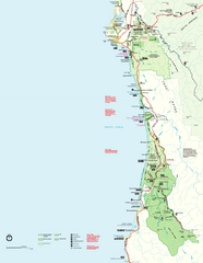
Redwood National Park Map
Official NPS map of Redwood National Park, California. Also shows Jedediah Smith Redwoods State...
262 miles away


 Explore Maps
 Map Directory
