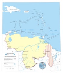
Official boundaries of Venezuela Map
All the official boundaries of Venezuela including the maritime ones.
0 miles away
Near Venezuela
2481 × 2884•524 KB•JPG
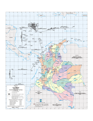
Official boundaries of Colombia Map
All the official boundaries of Colombia including the maritime ones.
521 miles away
Near Colombia
605 KB•PDF
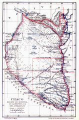
All the failed proposals to delimit the Chaco Map
Here you can see all the proposals to delimit the Chaco between 1879 and 1894. Everyone of them...
2138 miles away
Near Paraguay
1306 × 1981•1.5 MB•JPG
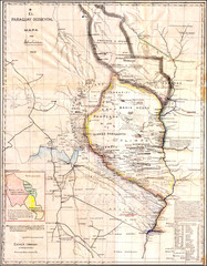
Wartime map of the Chaco
This 1933 map of the Chaco was made during the Chaco War between Paraguay and Bolivia and used by...
2138 miles away
Near Paraguay
1932 × 2480•2.7 MB•JPG
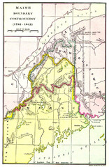
Maine Boundary Controversy 1782-1842 Map
Here you can all the British and American claims and proposals to settle the Maine boundary with...
2685 miles away
Near Maine
949 × 1461•758 KB•JPG
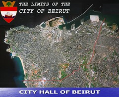
Beruit City Limits Map
Aerial map of city of Beruit, Lebanon showing city limits
6664 miles away
Near Beruit, Lebanon
2478 × 2028•801 KB•JPG
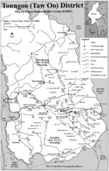
Toungoo District Map
Geographic map of Toungoo District of Burma
10349 miles away
Near Toungoo, Burma
1268 × 1969•243 KB•JPG
page 1 of 1


 Explore Maps
 Map Directory
