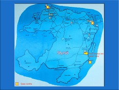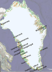
Greenland City Names Map
Map of Greenland shows city names.
0 miles away
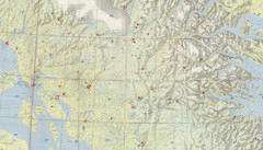
Central Baffin Island Map
737 miles away
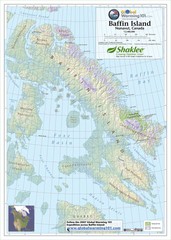
Baffin Island Map
Physical relief map shows national parks and permanent ice. See source for more info on back of...
800 miles away
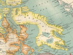
Baffin Island Map
863 miles away
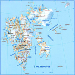
Svalbard Physical Map
Physical map of Svalbard, Norway. The northernmost part of the kingdom of Norway. Shows ice...
921 miles away
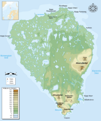
Bear Island Bjørnøya Norway Map
Elevation map of Bear Island, Norway (Bjørnøya) in the Barents Sea, the southernmost...
1038 miles away
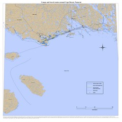
Cape Dorset Map
1114 miles away
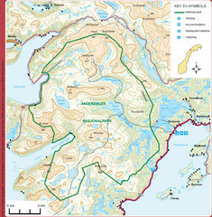
Anderdalen National Park Map
Topo map of Anderdalen National Park on Berg Senja, Norway
1238 miles away
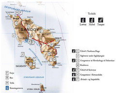
Sandoy Island Tourist Map
Tourist map of Sandoy, Faroe Islands. Shows ferry and bus stops and 7 hikes rated by difficulty
1244 miles away
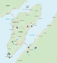
Tromso Overview Map
Overview map of Tromso, Norway island. Shows major roads and streets.
1245 miles away
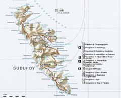
Suðuroy Tourist Map
Tourist map of Suduroy, Faroe Islands.
1259 miles away
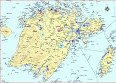
Vega Island Map
1332 miles away
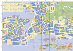
Alesund Town Map
Map of Alesund, Norway town center. Shows tourist points of interest. Inset shows location on...
1412 miles away
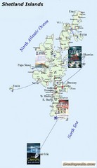
Shetland Islands Tourist Map
1418 miles away
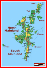
Shetland Islands Tourist Map
1418 miles away
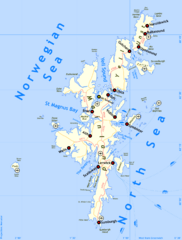
Shetland Islands Tourist Map
1418 miles away
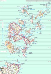
Orkney Map
Road map of the Orkney Islands, UK
1472 miles away
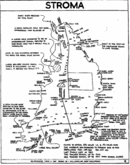
Stroma Tourist Map
1493 miles away
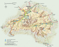
Cairngorms National Park Map
This map shows the boundaries of the Cairngorms National Park, which stretch from Grantown on Spey...
1583 miles away
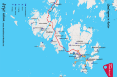
Hvaler Island Hopping Map
Tourist map of island hopping in Hvaler, Norway. Shows accommodations, beaches, camping, guest...
1698 miles away
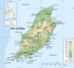
Isle of Man Topo Map
Topographical map of the Isle of Man showing roads, rail tracks, geographic features, and towns...
1755 miles away
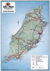
Isle of Man Transportation Map
1755 miles away
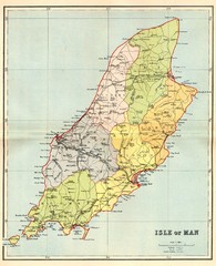
Isle of Man Map
1755 miles away
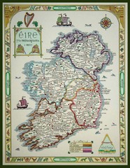
Hand-Drawn Ireland Map
Guide to Ireland and Northern Ireland, in Gaelic
1767 miles away
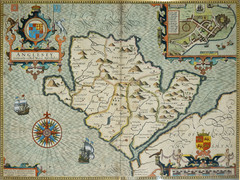
Anglesey Map
1821 miles away
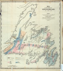
Newfoundland Geologic Map 1842
1865 miles away
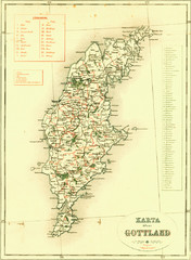
Gotland Island Map
Largest island in Sweden
1931 miles away
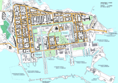
Kronstadt Tourist Map
Tourist map of Kronstadt, Russia, an island near St. Petersburg, Russia. In Russian.
1968 miles away
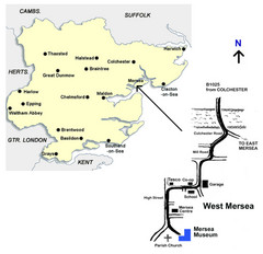
West Mersea Island Museum Map
1994 miles away
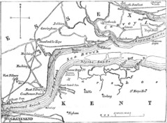
River Thames Map
Map of Thames from Gravesend to Canvey Island
2007 miles away
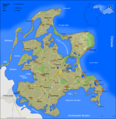
Rügen Map
Shows shaded population density of island of Rugen, Germany
2020 miles away
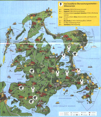
Rügen Tourist Map
Tourist map of the island of Rügen, Germany's largest island.
2023 miles away
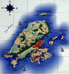
Saint Pierre Map
2028 miles away
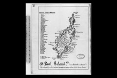
St Paul Island Wreck Map
Shipwreck map of St. Paul Island, Nova Scotia
2028 miles away
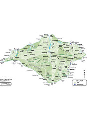
Isle of Wight Map
2032 miles away
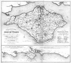
Isle of Wight Map
2032 miles away
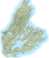
Cape Breton Island Trail Map
Trail map of Cape Breton Island
2094 miles away
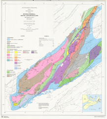
Boisedale Peninsula Map
Geological map of peninsula.
2105 miles away
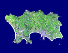
Jersey Physical Map
Guide to the Balliwick of Jersey, a British Crown Dependency
2117 miles away


 Explore Maps
 Map Directory
