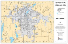
West Bend Street Map
Street map of city of West Bend, Wisconsin.
0 miles away
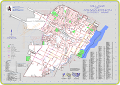
Ashwaubenon Street Map
74 miles away
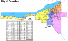
Petoskey Street Map
Street map of Petoskey, Michigan. Official city map.
208 miles away
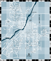
Northfield Street Map
Street map of Northfield, Minnesota
258 miles away
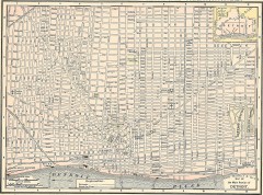
Map of the Main Portion of Detroit - 1895
Map of downtown Detroit, 1895. From Rand McNally's Atlas of the World, 1901, page 42
270 miles away
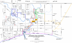
Kincardine Trail Map
Trail and street map of Kincardine, Ontario.
331 miles away
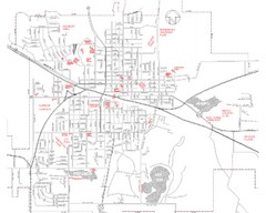
Mexico Missouri Street Map
City street map of Mexico, Missouri
351 miles away
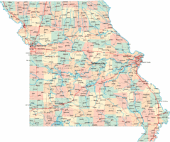
Missouri Map
Map of Missouri, including main roads and towns
390 miles away
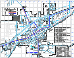
St James Street Map
Street map of St. James, Missouri. Shows points of interest.
416 miles away
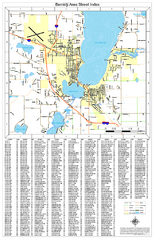
Bemidji Street Map
Street map of the Bemidji, Minnesota area
429 miles away
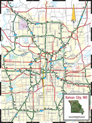
Kansas City Map
Map of main roads/highways in Kansas City area
450 miles away
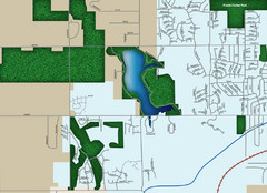
Southwest Olathe Map
Street map of southwest Olathe, Kansas. Shows green spaces.
466 miles away
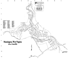
Mannington Street Map
Street map of Mannington, West Virginia. (aka Grantville)
487 miles away
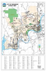
Branson Street Map
Street map of Branson, Missouri. With street index.
540 miles away
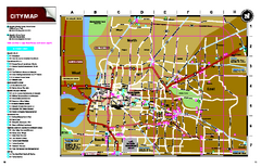
Memphis, Tennessee City Map
587 miles away

Winnipeg 1908 Map
Street map of Winnipeg with street index.
617 miles away
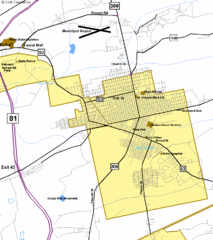
Hazelton Street Map
Clear and descriptive road map.
648 miles away
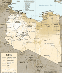
Lybia Map
Clear map and legend of this African Nation.
688 miles away
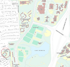
Brandon Town Map
Town of Brandon and University of Georgia Campus
706 miles away
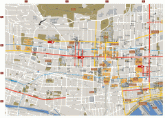
Montreal Downtown Map
Street map of downtown Montreal, Quebec. In French.
732 miles away
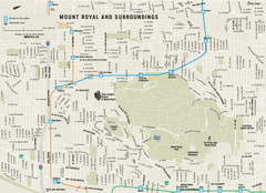
Mount Royal and Surroundings Map
734 miles away
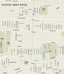
Plateau Mont Royal Map
735 miles away
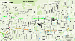
Downtown Montreal Map
Street map of central Montreal. Shows access to the metro and commuter train
735 miles away
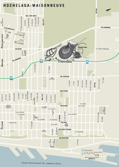
Hochelaga-Maisonneuve Map
736 miles away
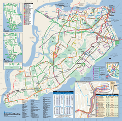
Staten Island Bus Map
Official Bus Map of Staten Island. Shows all routes.
746 miles away
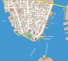
Lower Manhattan Area Map
751 miles away
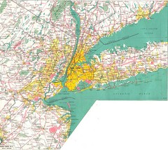
New York City Map
751 miles away

City Island Street Map
Street map of City Island, New York
759 miles away
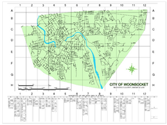
Woonsocket Street Map
Street map of Woonsocket, Rhode Island. Shows street legend.
852 miles away
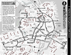
Walking Map of Boston, Massachusetts
Tourist map of Boston, Massachusetts, showing walking routes and times, as well as museums, squares...
870 miles away
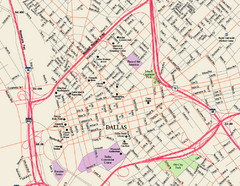
Downtown Dallas Map
Street map of downtown Dallas
871 miles away
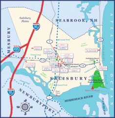
Salisbury Town Map
875 miles away
Dauphin Island Street Map
911 miles away
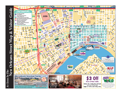
New Orleans French Quarter Map
Tourist street map of French Quarter in city of New Orleans, Louisiana
937 miles away
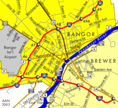
Bangor City Map
Airport, roads and interstates are on this map.
967 miles away
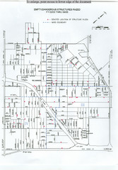
Empty Dangerous Structures Razed Map
flood zone elevation
984 miles away
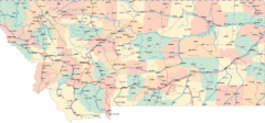
Montana Road Map
1100 miles away


 Explore Maps
 Map Directory
