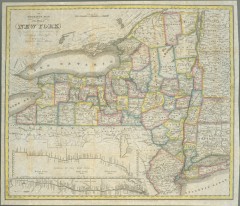
1831 Antique New York State map
The tourist's map of the state of New York : compiled from the latest authorities in the...
0 miles away
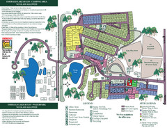
Emerald Lake State Park Map
56 miles away
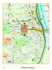
Albany downtown map
Road map of downtown Albany, NY. Shows city parks and New York State government buildings.
70 miles away
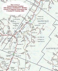
Waitsfield, Vermont City Map
70 miles away
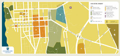
Burlington, Vermont City Tourist Map
The city of Burlington, Vermont
70 miles away
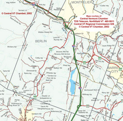
Berlin, Vermont Guide Map
79 miles away
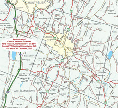
Barre, Vermont Guide Map
84 miles away
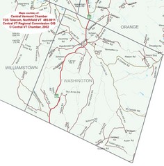
Washington, Vermont Map
85 miles away
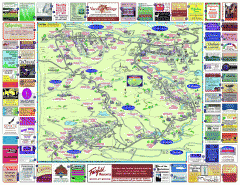
North County Berkshires map
Tourist map of North County - Pittsfield, N. Adams, Adams, Lanesboro, Cheshire, Williamstown...
86 miles away
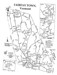
Fairfax Town Map
86 miles away
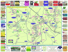
Columbia County - Austerlitz, Canaan, Chatham...
Tourist map of Columbia County including towns of Austerlitz, Canaan, Chatham, East Chatham Ghent...
89 miles away
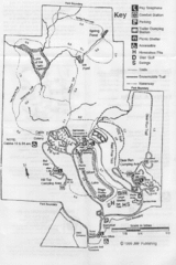
Gilbert Lake State Park Map
92 miles away
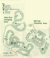
Gilbert Lake State Park Camping Map
93 miles away
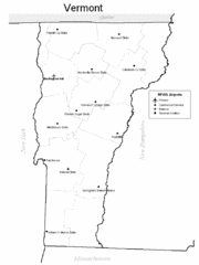
Vermont Airports Map
95 miles away
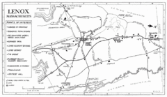
Lenox Town Map
Hand-drawn town map of Lenox, Mass. Bordered by Lenox Mountain and October Mountain. Shows points...
96 miles away
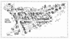
Lenox Village Map
Hand-drawn village map of historic center of Lenox, Massachusetts
96 miles away
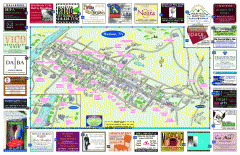
Hudson Tourist Map
Tourist map of Hudson, New York showing all tourist points of interest. Ads around border.
97 miles away
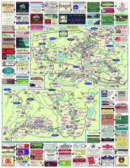
South County Berkshires map
Tourist map of Great Barrington, Housatonic, Sheffield, S. Egremont, N. Egremont Lenox, Stockbridge...
100 miles away
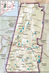
Berkshires Map
Overview map of the Berkshires region of Western Massachusetts
100 miles away
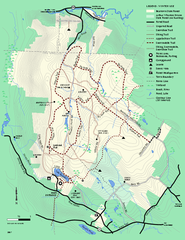
Beartown State Park Winter Map
Winter use map of Beartown State Park in Massachusetts
105 miles away
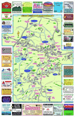
Columbia County - Boston Corners, Copake, Copake...
Tourist map of Columbia County, Mass. Includes towns of Boston Corners, Copake, Copake Falls...
105 miles away
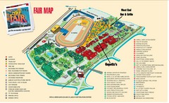
New York State Fairgrounds Map
109 miles away
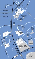
Downtown Amherst, Massachusetts Map
Tourist map of downtown Amherst, Massachusetts, showing attractions, government buildings, atms...
116 miles away
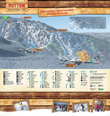
Mont Sutton Trail map
124 miles away
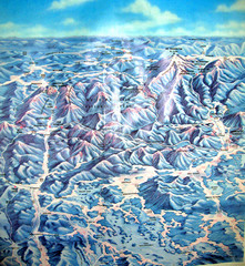
White Mountains New Hampshire Map
Old bird's eye view map of the White Mountain region of New Hampshire by Frank Thomas. Date of...
124 miles away
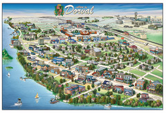
Pictorial map of Dorval
125 miles away
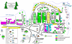
Lower Beverely Park Map
125 miles away
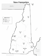
New Hampshire Airports Map
126 miles away
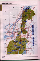
Richelieu River Guide Map
130 miles away
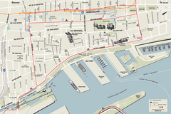
Old Montreal and Old Port Bike Map
Bike route map of Old Montreal and Old Port area
131 miles away
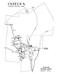
Onteora District Map
Boy Scouts Map of Onteora
131 miles away
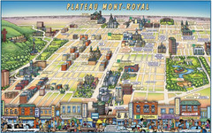
Plateau Mont-Royal Map
Pictorial view of Plateau Mont-Royal
131 miles away
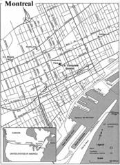
Montreal Tourist Map
133 miles away
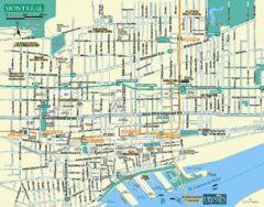
Montreal Tourist Map
133 miles away
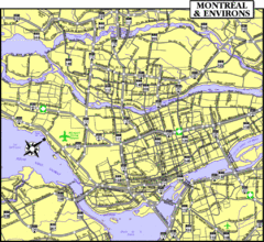
Montreal Tourist Map
133 miles away
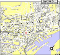
Montreal Tourist Map
133 miles away
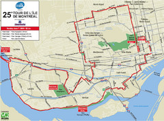
Montreal Tourist Map
133 miles away
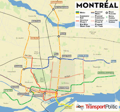
Montreal Tourist Map
133 miles away
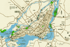
Montreal Tourist Map
133 miles away


 Explore Maps
 Map Directory
