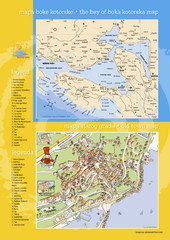
Boka Kotorska Bay and Herceg Novi Tourist Map
Tourist map of the bay of Boka Kotorska and old town Herceg Novi. In Croatian and English.
0 miles away
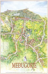
Medjugorje Tourist Map
Tourist map of town of Medjugorje, Bosnia & Herzegovina.
69 miles away
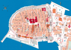
Korcula Tourist Map
Tourist map of old town Korcula, Croatia
81 miles away
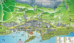
Makarska Tourist Map
98 miles away
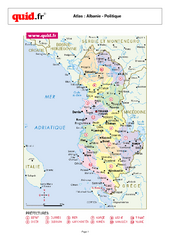
Albania Regional Map
Country map with detail of regional divides
122 miles away
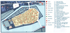
Trogir Tourist Map
Tourist map of old island town Trogir, Croatia. Shows points of interest.
139 miles away
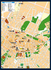
Lecce Tourist Map
Tourist map of historic center of Lecce, Italy. Shows points of interest.
147 miles away
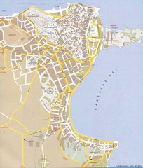
Corfu Town Map
Tourist map of town of Corfu (Kerkyra) on the island of Corfu, Greece.
209 miles away
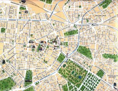
Sofia Center Map
242 miles away
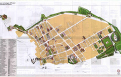
Pompei Map
Tourist map of Pompei, Italy. Shows excavations. Scanned, some bleed through. In English and...
242 miles away
Sorrento Town Map
252 miles away
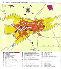
Barisciano Tourist Map
Tourist map of historic center of Barisciano, Italy. Points of interest labeled.
255 miles away
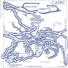
Capri Town Map
260 miles away
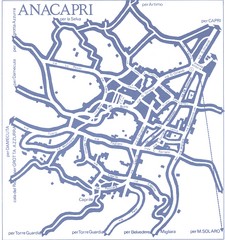
Anacapri Map
261 miles away
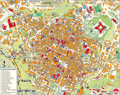
L'Aquila City Map
City map of L'Aquila, Italy. Shows points of interest.
265 miles away
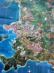
Rovinj Tourist Map
Tourist map of Rovinj, Croatia. Map is based on aerial photo.
306 miles away
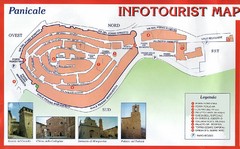
Panicale Tourist Map
Tourist map of small town of Panicale, Italy. Shows major buildings. In Italian. Scanned.
331 miles away
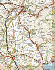
Cortona Road Map
339 miles away
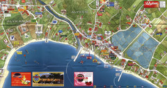
Alykanas and Alykes Map
Tourist map of Alykanas and Alykes, Zakynthos Island, Greece. Shows businesses.
340 miles away
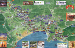
Tsilivi Tourist Map
Tourist map of town of Tsilivi, Zakynthos Island, Greece. Shows businesses. Scanned
343 miles away
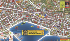
Zakynthos Town Map
Detailed tourist map of Zakynthos Town, Zakynthos Island, Greece. Shows businesses.
346 miles away
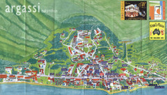
Argassi Tourist Map
Tourist map of Argassi, Zakynthos Island, Greece. Shows all businesses. Scanned.
348 miles away
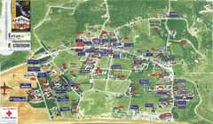
Kalamaki Zakynthos Tourist Map
Tourist map of town of Kalamaki on Zakynthos Island. Scanned.
349 miles away
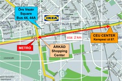
Local Budapest Tourist Map
Stores, main streets and locations in Central Budapest
349 miles away
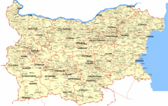
Bulgaria Map
Map of Bulgaria, including towns and villages
352 miles away
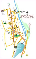
Pucioasa Map
388 miles away
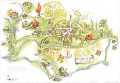
Tramonti di Sopra Tourist Map
Tourist map of town and surrounding area of Tramonti di Sopra, Italy. Drawing shows streets...
391 miles away
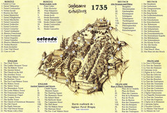
Sighisoara Town Map 1735
Old town map of building in Sighisoara, Romania. With points of interest in several languages
402 miles away
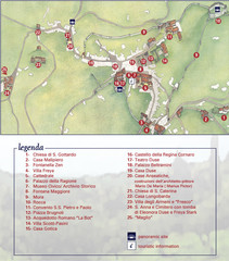
Asolo Town Map
Tourist map of Asolo, Italy. Shows points of interest, panoramic site, and touristic information...
403 miles away
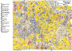
Vienna Tourist Map
Tourist street map of Vienna
412 miles away
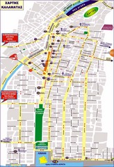
Kalamata Tourist Map
Tourist map of central Kalamata, Greece. Shows points of interest. In Greek.
420 miles away
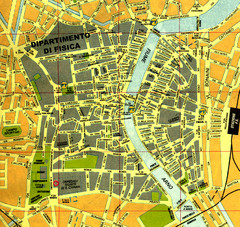
Pisa Town Map
Map of Pisa town centre and University of Pisa
422 miles away
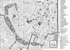
Verona Tourist Map
Tourist city map of Verona
430 miles away
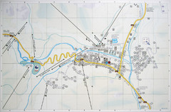
Corvara Town Map
Tourist map of Corvara, Italy in the Dolomites. From photo of sign
435 miles away
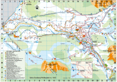
Selva Gardena Tourist Map
Tourist map of Selva Gardena, Italy, a popular skiing and hiking destination in the Italian Alps.
440 miles away
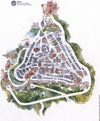
Erice Tourist Map
Tourist map of the town of Erice, Italy in Sicily.
440 miles away


 Explore Maps
 Map Directory
