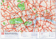
London Bus and Tourist Map
Key bus routes and tourist attractions in central London. Scanned.
less than 1 mile away
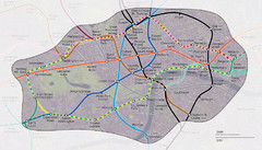
London Underground Zone 1 with Street Map
The London Underground Zone 1 geographically overlaid on city streets.
less than 1 mile away
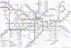
Tube Map
Map of London's Tube transportation lines and stops
less than 1 mile away
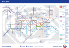
London Underground
London Underground map. Shows all 11 lines, 270 stations, and 9 zones as of 2010. This is the...
less than 1 mile away
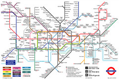
London Underground Transportation Map
The tube/subway in London
less than 1 mile away
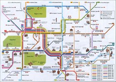
London Tube Map
less than 1 mile away
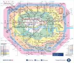
London Underground Tube Map
less than 1 mile away
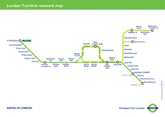
Tramlink Network Map
less than 1 mile away
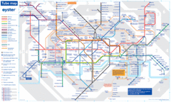
London Tube Map
less than 1 mile away
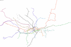
Geographically Correct London Underground Map
less than 1 mile away
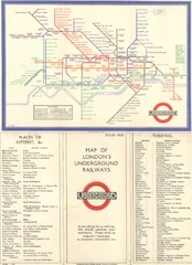
London Railway Map
less than 1 mile away
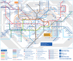
Tube Map
Map of London's tube transit
less than 1 mile away
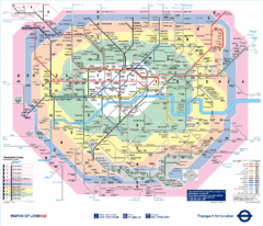
London, England Underground Map
less than 1 mile away
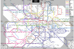
London Subway Map
less than 1 mile away
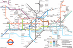
London Subway Map
less than 1 mile away
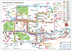
London Bus Route Map
less than 1 mile away
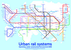
Diagram linking cities with Urban rail systems Map
Made for the book "Transit Maps of the World" this London Underground inspired diagram...
less than 1 mile away
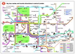
Central London Tourist and Bus map
Current Map showing all London Attractions and Bus transportation Route.
less than 1 mile away
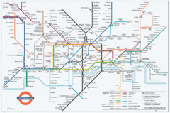
Untergrund Map
Comedic London Underground Tube map showing what it would look like if England had lost the war.
less than 1 mile away
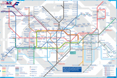
London Underground Tube Map
Map of London's underground Tube
less than 1 mile away
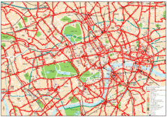
Central London Bus Map
1999 map from The London Tube Map Archive
less than 1 mile away
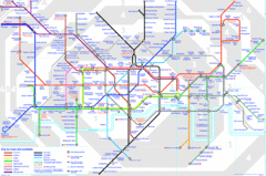
London Underground Map
London Underground map with all zones
less than 1 mile away
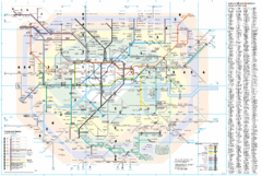
London Underground Map
less than 1 mile away
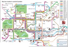
London Central Bus Routes Map
Guide to bus routes in London
1 mile away
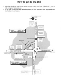
London School of Economics Bus Stop Map
How to get to the London School of Economics.
2 miles away
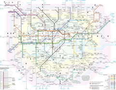
London Tube Map
2 miles away
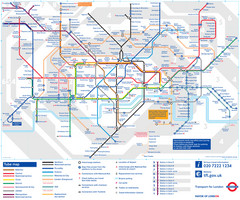
London Tube Map
2 miles away
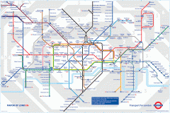
London Underground Map
Official map of the London Underground. An evolution of the original design conceived in 1931 by...
2 miles away
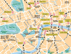
London Bahnhöfe Map
2 miles away
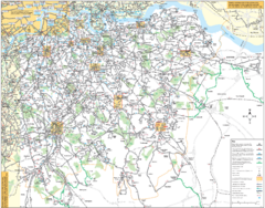
Southeast London Bus Map
3 miles away
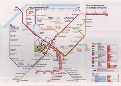
St. Georges Hospital Bus Services Map
5 miles away
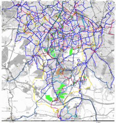
Cheam Bus Route Map
Olympic Bid 2016 - Bus Route Map
11 miles away
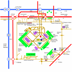
Heathrow Airport Map
13 miles away
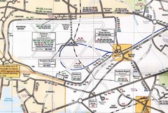
Heathrow Airport Transportation Map
13 miles away
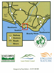
East Sussex, England Bus System Route Map
44 miles away
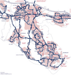
Fareham Busmap Map
Bus map of Portchester, Gosport and Fareham routes.
64 miles away
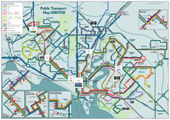
Southampton Public Transport Map
Public transport map of Southampton, England
68 miles away
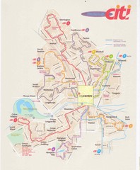
Peterborough Stage Coach Citi Bus Map
74 miles away
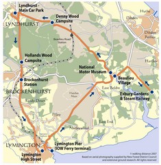
New Forest Bus Tour Map
76 miles away
Delaine Bus Route Map
Map of bus routes throughout from Borne to Peterborough
82 miles away


 Explore Maps
 Map Directory
