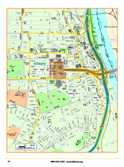
Albany downtown map
Road map of downtown Albany, NY. Shows city parks and New York State government buildings.
0 miles away
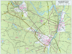
Albany, New York City Map
less than 1 mile away
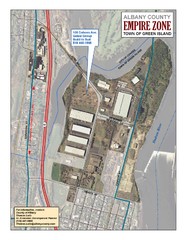
Green Island Map
Aerial town map of Green Island, New York on the Hudson River
8 miles away
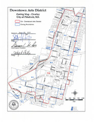
Pittsfield,, Massachusetts City Map
29 miles away
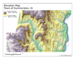
Elevation Map of Dummerston, Vermont
This Hypsometric map is a map that distinguishes elevations progression within a specific...
62 miles away
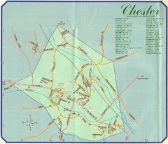
Chester Town Map
74 miles away
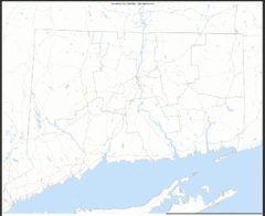
Connecticut Zip Code Map
Check out this Zip code map and every other state and county zip code map zipcodeguy.com.
80 miles away
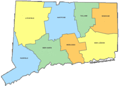
Connecticut Counties Map
80 miles away
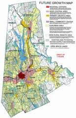
Danbury Regional Growth Map
Guide to future growth of Danbury, CT and surrounds
81 miles away
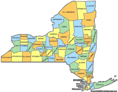
New York Counties Map
85 miles away
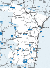
Windsor County Map
86 miles away
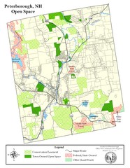
Peterborough Open Space Map
Map of open space lands in Peterborough, New Hampshire
93 miles away
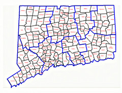
Connecticut Town Map
94 miles away
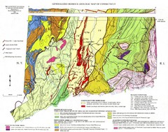
Connecticut Geologic Map
Geologic map of Connecticut bedrock. Shows shaded terranes, fault lines, and Mesozoic formations.
95 miles away
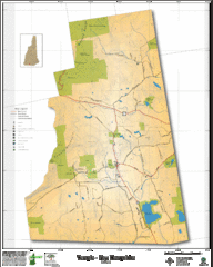
Temple NH Topo Map
Topographical map of Temple, NH area. Shows all roads and points of interest.
97 miles away
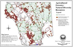
Mansfield Conservation and Development Map
Guide to Agricultural, Forestry and Natural Diversity Resources
98 miles away
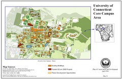
University of Connecticut Campus Map
Map shows current, funded projects and future development for UConn.
102 miles away
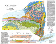
New York State Geologic Map
1:1,000,000 scale geological map of New York State
103 miles away
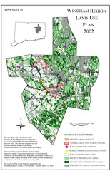
2002 Windham Region Land Use Map
Regional Land Use Guide Map for Planning Purposes
105 miles away
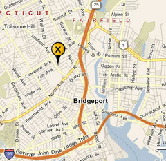
Bridgeport, Connecticut City Map
105 miles away
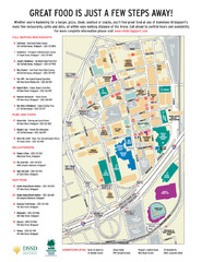
Arena at Harbor Yard Restaurants Map
List of many delicious restaurants and eateries.
106 miles away
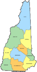
New Hampshire Counties Map
117 miles away
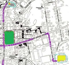
Manchester, New Hampshire City Map
119 miles away
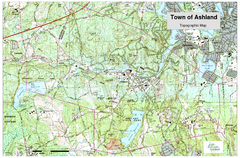
Ashland, MA - Topo Map
Map is provided by the town of Ashland, MA. See town's website for additional maps and...
120 miles away
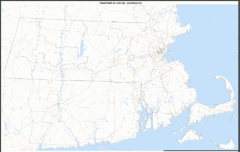
Massachusetts Zip Code Map
Check out this Zip code map and every other state and county zip code map zipcodeguy.com.
122 miles away
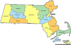
Massachusetts Counties Map
122 miles away
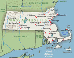
Massachusetts Cities and Mountains Map
122 miles away
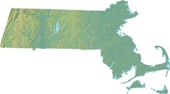
Maryland Relief Map
122 miles away
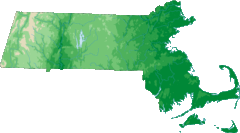
Massachusetts Elevations Map
122 miles away
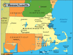
Massachusetts Cities Map
122 miles away
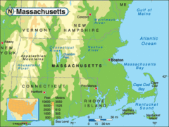
Massachusetts Rivers, Lakes, Mountains and...
122 miles away
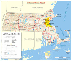
Massachusetts Road Map
122 miles away
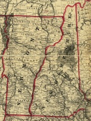
Map of New Hampshire and Vermont 1860
Map of New Hampshire and Vermont, 1860
124 miles away
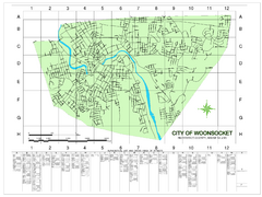
Woonsocket Street Map
Street map of Woonsocket, Rhode Island. Shows street legend.
124 miles away

City Island Street Map
Street map of City Island, New York
125 miles away
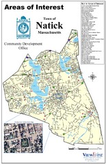
Natick Areas Of Interest Map
Shows points of interest in town of Natick, Massachusetts. Inset of downtown Natick.
125 miles away
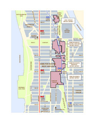
Hamilton Heights West Harlem Map
Hamilton Heights - West Harlem, New York City community map
126 miles away
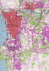
Burlington Vt 87 Map
Topographical map of the city of Burlington, Vt.
129 miles away


 Explore Maps
 Map Directory
