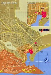
Cabo San Lucas Map
Street map of central Cabo San Lucas, Mexico
0 miles away
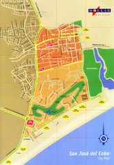
San Jose Del Cabo Map
Street map of San Jose del Cabo, Mexico
18 miles away
San Carlos Street Map
Street map of San Carlos, Mexico
358 miles away
Fort Stockton City Map
Street map of city of Fort Stockton
703 miles away
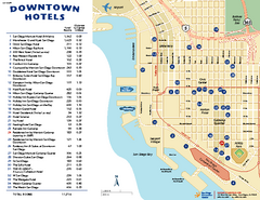
Downtown San Diego Tourist Map
Tourist map of downtown San Diego, with hotel listings
811 miles away
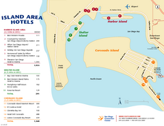
San Diego Island Tourist Map
Map of Coronado Island and surrounding area of San Diego, with hotel listings
811 miles away
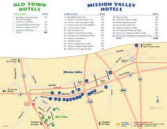
Mission Valley Tourist Map
Tourist map of Mission Valley area of San Diego, with hotel listings
814 miles away
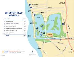
Mission Bay Tourist Map
Tourist map of the Mission Bay area of San Diego, with hotel listings
816 miles away
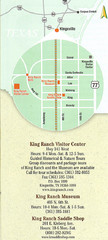
Kingsville Map
Map of Kingsville, with detail of main city-sites
819 miles away
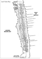
South Padre Island Street Map
832 miles away
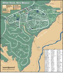
White Rock Road Map
Large and detailed map marking points of interest and roads.
918 miles away
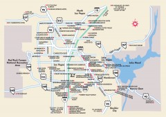
Las Vegas Surrounding Areas, Nevada Map
Tourist map of the areas surrounding Las Vegas, Nevada. Shows hotels and inns outside of downtown...
970 miles away
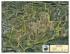
Ojai Street Map
Street map of Ojai, California.
978 miles away
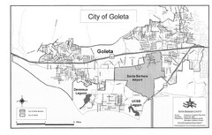
Goleta City Map
Street map of Goleta, California
998 miles away
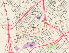
Downtown Dallas Map
Street map of downtown Dallas
1053 miles away
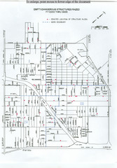
Empty Dangerous Structures Razed Map
flood zone elevation
1103 miles away
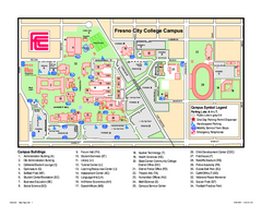
Fresno City College Campus Map
Fresno City College Campus Map. Shows all areas.
1126 miles away
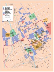
San Jose Downtown map
San Jose sowntown street map showing public transportation and parking.
1227 miles away
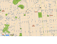
Downtown San Francisco: Castro and Noe Valley Map
Tourist map of the Castro and Noe Valley area in downtown San Francisco, California. Shows Twin...
1269 miles away
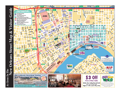
New Orleans French Quarter Map
Tourist street map of French Quarter in city of New Orleans, Louisiana
1321 miles away
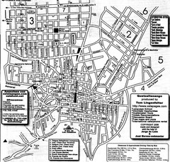
Quetzaltenango Street Map
Street map of Quetzaltenango, Guatemala
1325 miles away
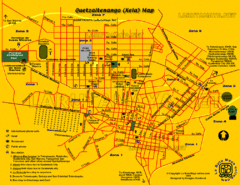
Quetzaltenango City Map
Large and detailed map.
1325 miles away
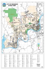
Branson Street Map
Street map of Branson, Missouri. With street index.
1376 miles away
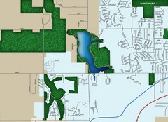
Southwest Olathe Map
Street map of southwest Olathe, Kansas. Shows green spaces.
1419 miles away
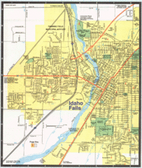
Idaho Falls, Idaho City Map
1430 miles away
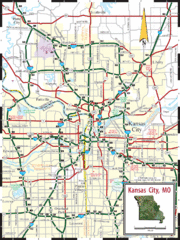
Kansas City Map
Map of main roads/highways in Kansas City area
1436 miles away
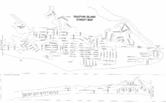
Dauphin Island Street Map
1438 miles away
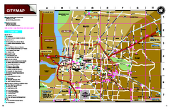
Memphis, Tennessee City Map
1466 miles away
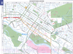
Boise, Idaho Downtown Map
Map of the downtown area of Boise, Idaho includes all streets, parks and the Boise State University.
1477 miles away
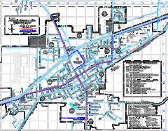
St James Street Map
Street map of St. James, Missouri. Shows points of interest.
1505 miles away
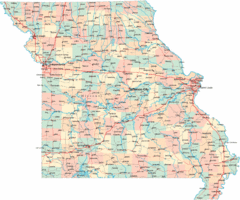
Missouri Map
Map of Missouri, including main roads and towns
1515 miles away
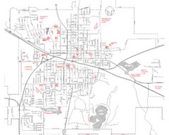
Mexico Missouri Street Map
City street map of Mexico, Missouri
1546 miles away
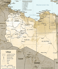
Lybia Map
Clear map and legend of this African Nation.
1577 miles away
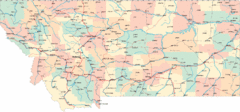
Montana Road Map
1650 miles away
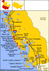
Bradenton Beach Map
Bradenton Beach and surrounding beach map.
1736 miles away
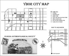
Ybor City Map
1748 miles away
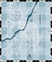
Northfield Street Map
Street map of Northfield, Minnesota
1768 miles away
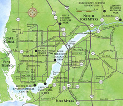
Cap Coral and Surrounding Area Map
Small, humble fishing community along the coast of Florida.
1773 miles away


 Explore Maps
 Map Directory
