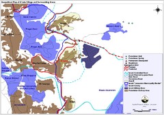
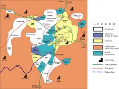
Anata Village Geopolitical Map
Geopolitical map of Anata Village in the West Bank and surrounding areas
0 miles away
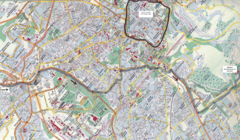
Jerusalem Map
Map of Jerusalem, Israel. Old Jerusalem highlighted. Scanned.
3 miles away
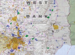
Jerusalem Tourist Map
3 miles away
Jerusalem Tourist Map
3 miles away
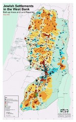
Jewish Settlements in West Bank Map
Shows Jewish settlements in West Bank of Israel.
7 miles away
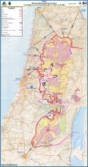
Israel Security Fence Route Map
Revised route of the Israel Security Fence around the West Bank as of Feb 2005
16 miles away
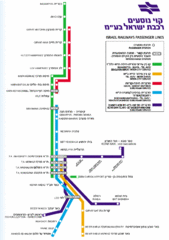
Israel Railways Map
Map of railway lines throughout countries
27 miles away
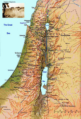
Israel Map
Israel map highlighting location of Theater of Sepphoris
29 miles away

Tel Aviv day map summer 2009
this is a great day map that show the real life in tel aviv , also theres a small map of "park...
31 miles away
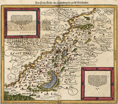
Munster’s Map of the Holy Land (1588)
Sebastian Munster's map of the Abrahamic Holy Land in 1588.
33 miles away
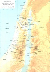
Promised Land Hebrew Settlement Map
Shows division of promised land to twelve tribes of Israel
57 miles away
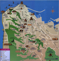
Haifa Tourist Map
Tourist map of Haifa, Israel
68 miles away
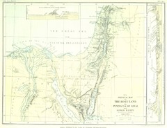
Israel and Sinai Map
The Holy Land -- Peninsula of Sinai -- Lower Egypt
153 miles away
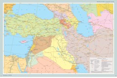
Near East Map
Map of the Near East and the Caucasus
636 miles away
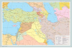
Map of Near East And South Caucasus
Map of Near East and South-Caucassian countries
722 miles away
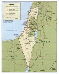
Israel Country map
5458 miles away


 Explore Maps
 Map Directory
