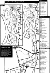
Capilano River Park Trail Map
Trail map of Capilano River Regional Park near Vancouver, BC
0 miles away
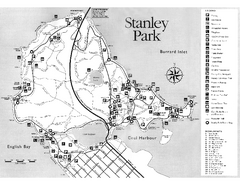
Stanley Park Trail Map
Trail map of Stanley Park near downtown Vancouver, BC. Shows monuments.
3 miles away
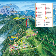
Grouse Mountain Summer Trail Map
Summer trail map of Grouse Mountain Resort near Vancouver, BC.
3 miles away
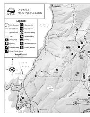
Cypress Provincial Park Map
Park map of Cypress Provincial Park, BC. Home of the North Shore Mountains. 2 pages.
5 miles away
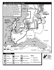
Belcarra Regional Park Trail Map
Trail map of Belcarra Regional Park, BC
11 miles away
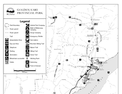
Golden Ears Provincial Park Map
Park map of Golden Ears Provincial Park, BC. 2 pages.
32 miles away
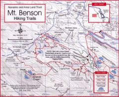
Mt. Benson Hiking Trail Map
Show hiking trails in the Nanaimo and Area Land Trust containing Mt. Benson. Also shows roads and...
44 miles away
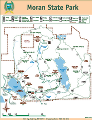
Moran State Park Map
Map of park with detail of trails and recreation zones
49 miles away
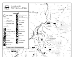
Garibaldi Provincial Park Map
Park map of Garibaldi Provincial Park, BC. 2 pages.
53 miles away
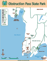
Obstruction Pass State Park Map
Map of park with detail of trails and recreation zones
53 miles away
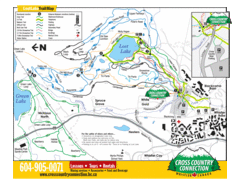
Lost Lake, Whistler Hiking and Biking Trail Map
55 miles away
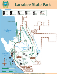
Larrabee State Park Map
Park map of Larrabee State Park, Washington.
56 miles away
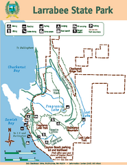
Larrabee State Park Map
Map of island with detail of trails and recreation zones
56 miles away
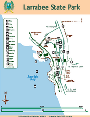
Larrabee State Park Map
Map of island with detail of trails and recreation zones
56 miles away
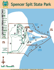
Spencer Spit State Park Map
Map of park with detail of trails and recreation zones
57 miles away
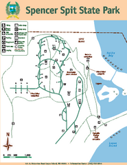
Spencer Spit State Park Map
Map of park with detail of trails and recreation zones
57 miles away
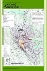
Mount Arrowsmith Climbing Route Map
Climbing routes on Mount Arrowsmith, Vancouver Island
67 miles away
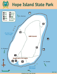
Hope Island State Park Map
Map of park with detail of trails and recreation zones
69 miles away
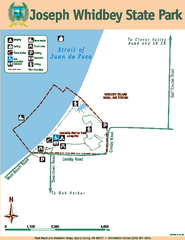
Joseph Whidbey State Park Map
Map of park with detail of trails and recreation zones
74 miles away
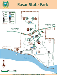
Rasar State Park Map
Map of park with detail of trails and recreation zones
80 miles away
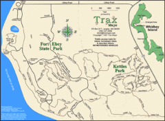
Ft Ebey/Kettle Park Trail Map
Trail map of Fort Ebey Park and Kettle Park, Washington
80 miles away
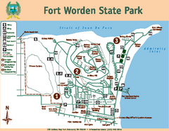
Fort Worden State Park Map
Map of park with detail of trails and recreation zones
85 miles away
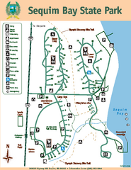
Sequim Bay State Park Map
Map of park with detail of trails and recreation zones
86 miles away
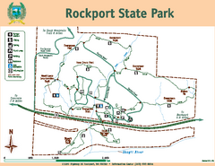
Rockport State Park Map
Map of park with detail of trails and recreation zones
90 miles away
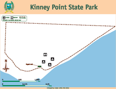
Kinney Point State Park Map
Map of island with detail of trails and recreation zones
91 miles away
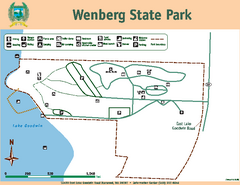
Wenberg State Park Map
Map of park with detail of trails and recreation zones
92 miles away
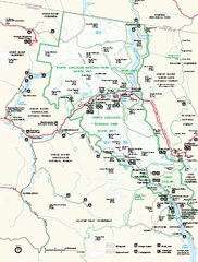
North Cascades National Park map
Official NPS map of North Cascades National Park, Washington. Shows the entire park and...
100 miles away
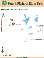
Mount Pilchuck State Park Map
Map of park with detail of trails and recreation zones
108 miles away
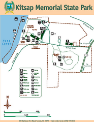
Kitsap Memorial State Park Map
Map of island with detail of trails and recreation zones
108 miles away
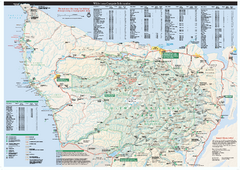
Olympic National Park wilderness campsite map
Official wilderness campsite map of Olympic National Park. Shows roads, trails, visitor...
110 miles away
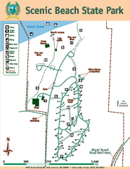
Scenic Beach State Park Map
Map of park with detail of trails and recreation zones
118 miles away
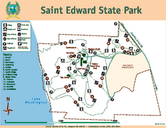
Saint Edward State Park Map
Map of park with detail of trails and recreation zones
118 miles away
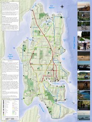
Bainbridge Island Hiking and Biking Map
Shows trails and bike routes on Bainbridge Island, Washington in the Puget Sound. Also shows...
121 miles away
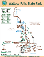
Wallace Falls State Park Map
Map of park with detail of trails and recreation zones
122 miles away
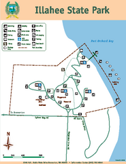
Illahee State Park Map
Map of park with detail of trails and recreation zones
123 miles away
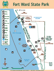
Fort Ward State Park Map
Map of park with detail of trails and recreation zones
125 miles away
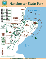
Manchester State Park Map
Map of park with detail of trails and recreation zones
125 miles away
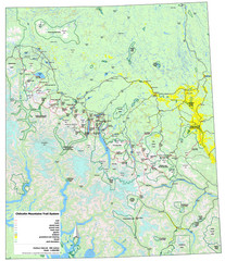
Chilcotin Mountains Trail System Map
Trail system map of the Chilcotin Mountains in BC, Canada "On the trail system map '...
125 miles away
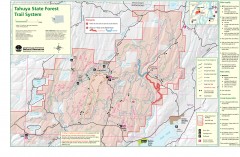
Tahuya State Forest Trail Map
Shows trails of Tahuya State Forest. Show roads, doubletrack, singletrack, and 4WD only.
129 miles away


 Explore Maps
 Map Directory
