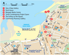
Margate Tourist Map
Tourist map of Margate, England.
0 miles away
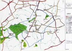
Hoath Town Map
Handwritten map of town of Hoath, England near Canterbury.
10 miles away
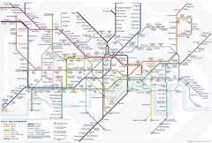
Tube Map
Map of London's Tube transportation lines and stops
65 miles away
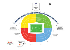
UK Wembley Stadium Map
72 miles away
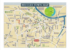
Beccles Town Map
74 miles away
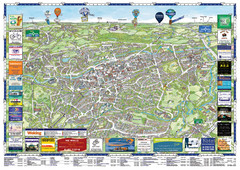
Woking Tourist Map
Tourist map of Woking, Surrey, England. Oblique/3D town map with ads.
84 miles away
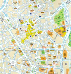
Lille Center Map
Street map of Lille city center
90 miles away
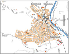
Henley-on-Thames Map
99 miles away
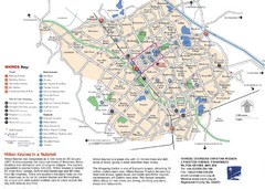
Milton Keynes Region Tourist Map
Tourist map of region around Milton Keynes, UK. Shows railway stations, out of town shopping, and...
100 miles away
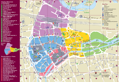
Reading Tourist Map
Tourist map of city center of Reading, England. Shows attractions and other tourist points of...
101 miles away
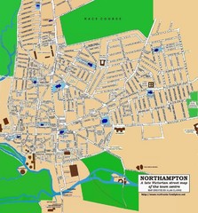
Northampton Town Map
Street map of Northampton from the late Victorian period
114 miles away
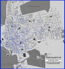
Northampton Town Map
Map of Northampton from the late Victorian period with public houses, inns, hotels, and pubs all...
114 miles away
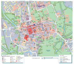
Oxford City Map
Tourist street map of Oxford
116 miles away
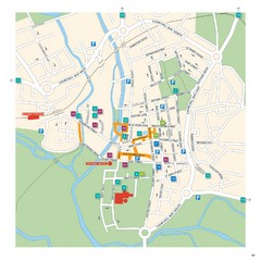
Salisbury Tourist Map
Tourist map of central Salisbury, UK. Shows parking and key for points of interest.
139 miles away
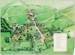
Avebury Tourist Map
Tourist map of Avebury, England. Shows Avebury Henge. From photo.
139 miles away
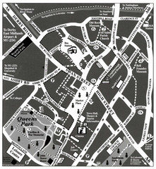
Loughborough Town Centre Map
145 miles away
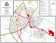
Chippenham Town Map
151 miles away
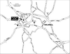
Solihull Town Map
152 miles away
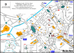
Central Birmingham Map
159 miles away
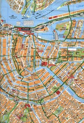
Amsterdam Center Map
165 miles away
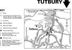
Tutbury Town Centre Map
165 miles away
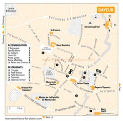
Bayeux Tourist Map
Tourist map of Bayeux, France shows accommodations and restauraunts
172 miles away
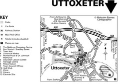
Uttoxeter Town Centre Map
173 miles away
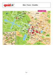
Versailles Tourist Map
Tourist street map of Versailles
182 miles away
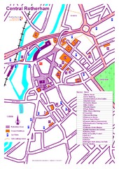
Central Rotherham Map
182 miles away
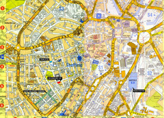
Sheffield City Center Map
183 miles away
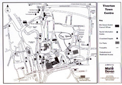
Tiverton Town Center Map
Black and white map shows major streets in Tiverton, Devon.
214 miles away
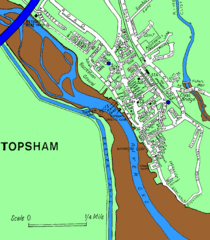
Topsham Street Map
216 miles away
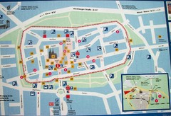
Xanten Tourist Map
Xanten center tourist map
219 miles away
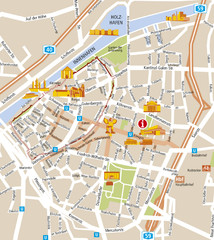
Duisburg City Map
Street map of Duisburg center
233 miles away
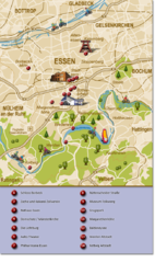
Essen Region Tourist Map
Tourist map of region of Essen
243 miles away
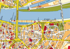
Cologne Center Map
Street map of city center of Cologne
244 miles away
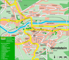
Gerolstein Map
Street map of Gerolstein
245 miles away
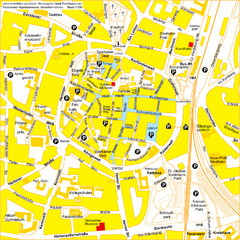
Recklinghausen Map
Street map of city
251 miles away
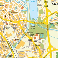
Nordhorn Center Map
Street map of Nordhorn town center
254 miles away


 Explore Maps
 Map Directory
