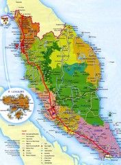
Malaysia Map
Map of Malaysia. Shows states of Malaysia, expressways, highways, railways, airports, mountains...
0 miles away
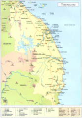
Terengganu Map
93 miles away
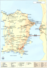
Penang Island Map
143 miles away
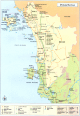
Perlis Kedah Tourist Map
Tourist map of state of Perlis-Kedah, Malaysia. Shows points of interest.
153 miles away
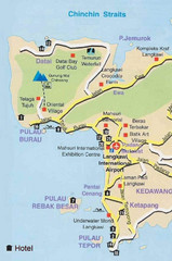
Langkawi Tourist Map
214 miles away
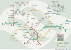
Singapore Metro System Map
Diagrammatic map of the Singapore metro system.
235 miles away
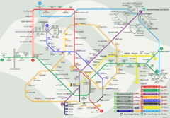
Singapore MRT Map
Map of Singapore MRT public transportation routes and stations.
235 miles away
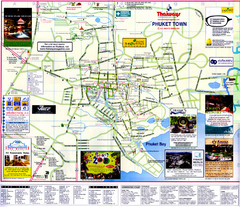
Phuket Town Map
353 miles away
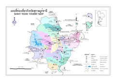
Surat Thani Map
Reference map of Surat Thani, Thailand. Shows roads and other major features. In Thai and English.
393 miles away
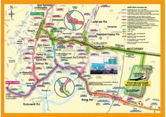
Bangkok Suvarnabhumi Expressway Map
Suvarnabhumi Expressway Map
665 miles away
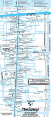
Sukhumvit Rd. Map
666 miles away
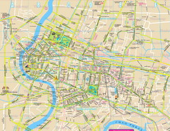
Bangkok, Thailand Map
666 miles away
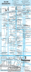
Silom Rd., Bangkok, Thailand Map
666 miles away
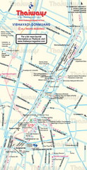
Donmuang Area, Bangkok, Thailand Map
666 miles away
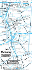
Ratchadaphisek Rd. and Ramkhamhaeng Rd.,Bangkok...
666 miles away
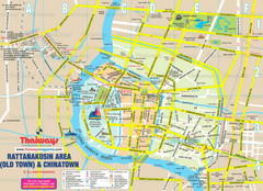
Rattanakosin Area, Bangkok, Thailand Map
666 miles away
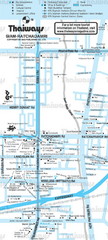
Siam Area, Bangkok, Thailand Map
666 miles away
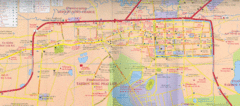
Korat City Map
City map of Korat, Thailand. In Thai and English.
744 miles away
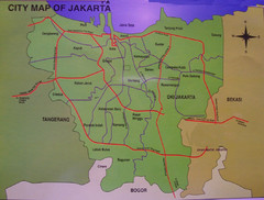
Jakarta City Map
City map of Jakarta, Indonesia. Shows major roads.
793 miles away
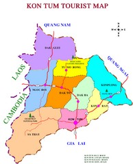
Kon Tum Road Map
Road map of Kon Tum, Vietnam region. (map says tourist map but more a road map)
830 miles away
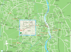
Chiang Mai City Map
1034 miles away
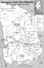
Toungoo District Map
Geographic map of Toungoo District of Burma
1085 miles away
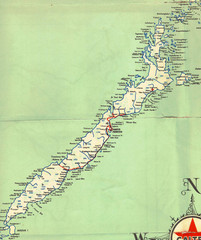
Palawan Island Road Map
1197 miles away
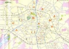
Kunming City Map
City street map of Kunming, China. Scanned.
1442 miles away
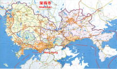
Shenzhen District Map
Shows districts in Shenzhen, China. In Chinese and English.
1513 miles away
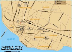
Jaffna City Map
Simple map of this small coastal city.
1554 miles away
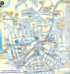
Davao City Map
Tourist street map of Davao City
1638 miles away
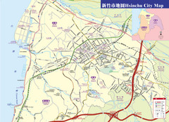
Hsinchu City Map
City Map of Hsinchu City, Taiwan
1904 miles away
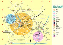
Hsinchu City Map
City map of Hsinchu City, Taiwan. Shows points of interest. In Chinese and English.
1904 miles away
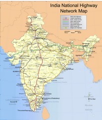
India Roadway Map
India National Highway Network Map
1918 miles away
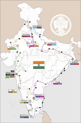
India Transportation Map
1918 miles away
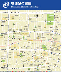
Shuanglian Station Map
Map of Shuanglian Station area in Taipei City
1941 miles away
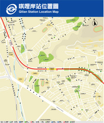
Qilian Station Map
A map of the Qilian Station area in the Beitou District
1944 miles away
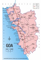
Goa India Road Map
Road map of state of Goa, India
2057 miles away
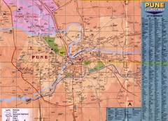
Pune Tourist Map
Tourist map of Pune, India area
2143 miles away

Nanjing Road in Shanghai Tourist Map
Shopping, hotels and places of interest on Nanjing Road in Shanghai, China marked on the map. In...
2258 miles away
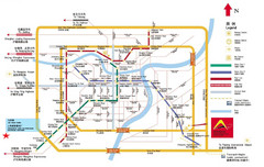
Shanghai City Map
Map of Shanghai, including transportation lines and street names
2259 miles away
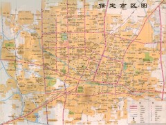
Baoding Tourist Map
Map of downtown Baoding, not in English
2543 miles away


 Explore Maps
 Map Directory
