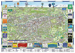
Woking Tourist Map
Tourist map of Woking, Surrey, England. Oblique/3D town map with ads.
0 miles away
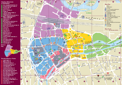
Reading Tourist Map
Tourist map of city center of Reading, England. Shows attractions and other tourist points of...
20 miles away
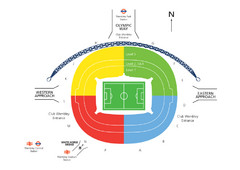
UK Wembley Stadium Map
20 miles away
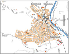
Henley-on-Thames Map
21 miles away
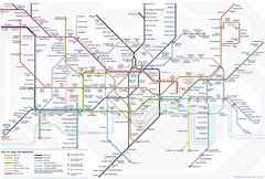
Tube Map
Map of London's Tube transportation lines and stops
23 miles away
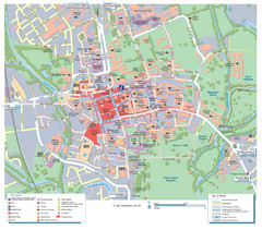
Oxford City Map
Tourist street map of Oxford
43 miles away
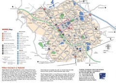
Milton Keynes Region Tourist Map
Tourist map of region around Milton Keynes, UK. Shows railway stations, out of town shopping, and...
50 miles away
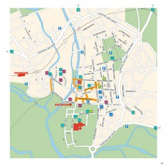
Salisbury Tourist Map
Tourist map of central Salisbury, UK. Shows parking and key for points of interest.
56 miles away
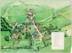
Avebury Tourist Map
Tourist map of Avebury, England. Shows Avebury Henge. From photo.
57 miles away
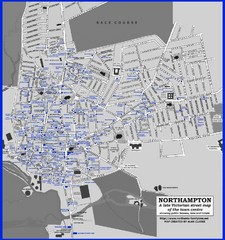
Northampton Town Map
Map of Northampton from the late Victorian period with public houses, inns, hotels, and pubs all...
65 miles away
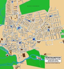
Northampton Town Map
Street map of Northampton from the late Victorian period
65 miles away
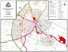
Chippenham Town Map
68 miles away
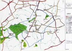
Hoath Town Map
Handwritten map of town of Hoath, England near Canterbury.
74 miles away
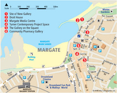
Margate Tourist Map
Tourist map of Margate, England.
84 miles away
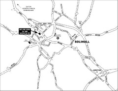
Solihull Town Map
92 miles away
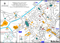
Central Birmingham Map
99 miles away
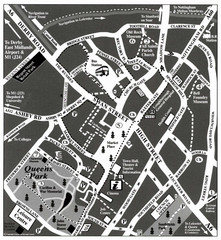
Loughborough Town Centre Map
104 miles away
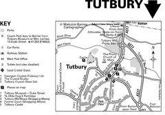
Tutbury Town Centre Map
117 miles away
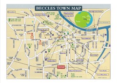
Beccles Town Map
120 miles away
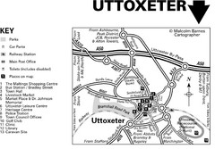
Uttoxeter Town Centre Map
123 miles away
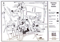
Tiverton Town Center Map
Black and white map shows major streets in Tiverton, Devon.
130 miles away
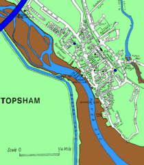
Topsham Street Map
134 miles away
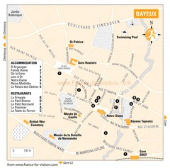
Bayeux Tourist Map
Tourist map of Bayeux, France shows accommodations and restauraunts
141 miles away
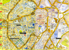
Sheffield City Center Map
148 miles away
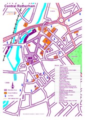
Central Rotherham Map
150 miles away
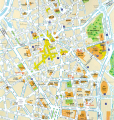
Lille Center Map
Street map of Lille city center
165 miles away
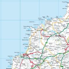
Cornwall Coast Map
Map of coast cities in Cornwall
207 miles away
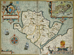
Anglesey Map
209 miles away
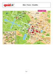
Versailles Tourist Map
Tourist street map of Versailles
211 miles away
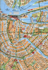
Amsterdam Center Map
244 miles away
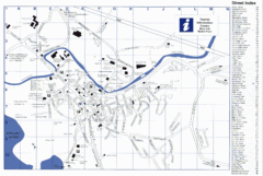
Keswick Tourist Map
Tourist map of Keswick, England. Shows all points of interest and has a street index.
251 miles away
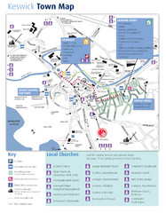
Keswick Town Map
Map of Keswick with Christian locations identified
251 miles away
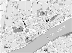
Blois Street Map
272 miles away
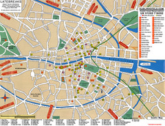
Dublin Tourist Map
Tourist street map of Dublin
279 miles away
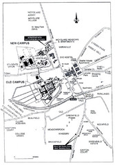
Maynooth Housing and Accommodation Map
Shows housing estates and accommodations in Maynooth, Ireland, home of the National University of...
292 miles away
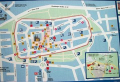
Xanten Tourist Map
Xanten center tourist map
303 miles away
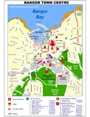
Bangor Town Centre Map
314 miles away
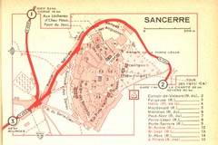
Sancerre Town Map
Town center of Sancerre, France. From Penguin edition, pages 13-16
315 miles away


 Explore Maps
 Map Directory
