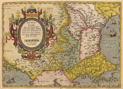
1612 - Abraham Ortelius Map
ROMA:|NIAE, | "(quæ olim Thracia dicta)" | VICINORVMQ[UE] REGIO:|NVM, VTI BVLGARIAE...
0 miles away
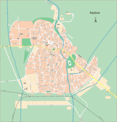
Karlova Street Map
Street map of Karlova, Bulgaria.
20 miles away
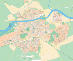
Plovdiv City Map
Detailed city map of Plovdiv, Bulgaria, the second largest city in Bulgaria. In Cyrillic.
43 miles away
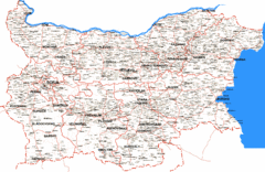
Bulgaria Road Map
Shows road routes and place names in Bulgaria
54 miles away
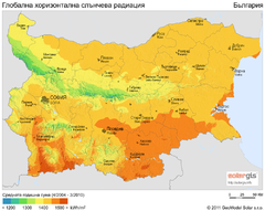
Solar Radiation Map of Bulgaria
Solar Radiation Map Based on high resolution Solar Radiation Database: SolarGIS. On the Solar Map...
54 miles away
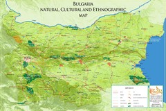
Bulgaria - natural, cultural places Map
Bulgaria - natural, cultural places
54 miles away
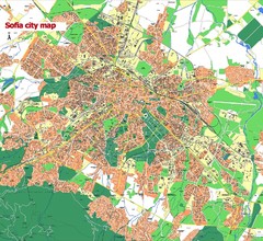
Sofia City street map
Map of Sofia city, Bulgaria. Bulgaria is country in Europe, member of the EU since 2007.
54 miles away
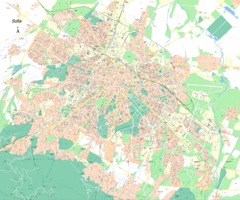
Sofia City Street Map
City street map of Sofia, Bulgaria area
55 miles away
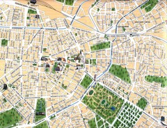
Sofia City Map
City map of central Sofia, Bulgaria. Shows main historical buildings and parks.
56 miles away
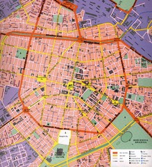
Sofia Center Map
Street map of the center of Sofia, Bulgaria. Shows points of interest and services.
56 miles away
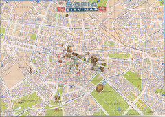
Central Sofia Tourist Map
Tourist map of central Sofia, Bulgaria. Shows landmark buildings. Scanned.
56 miles away
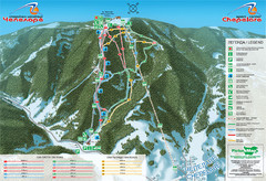
Chepelare ski map
70 miles away
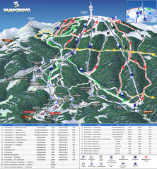
Pamporovo ski map
74 miles away
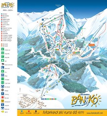
Bansko Trail Map
Ski Resort Map for Bansko, Bulgaria showing ski runs, lifts and amenities of the resort.
77 miles away
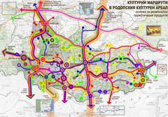
Cultural and Tourist Routes in Rhodopi Cultural...
Map of southern Bulgaria region shows a network of possible leading cultural routes – a basis...
89 miles away
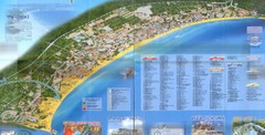
Sunny Beach Map
Sunny Beach lies near the town of Nessebar, Bulgaria on the Bulgarian Black Sea Riviera. Shows...
168 miles away
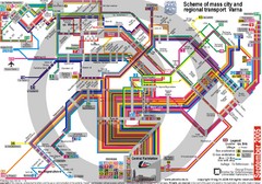
Varna, Bulgaria Public Transportation Map
180 miles away
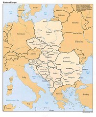
Eastern European Map
Map of Eastern Europe, Poland to Bulgaria
396 miles away
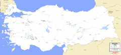
Turkey Railways Map
Network map, current and disused railways in Turkey as of 3/2005
622 miles away
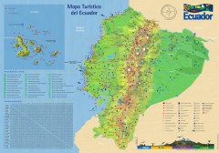
Ecuador Tourist Map
Detailed tourist map of Ecuador with inset of the Galapagos Islands. Shows National Parks and...
7007 miles away


 Explore Maps
 Map Directory
