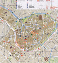
Amersfoort Map
0 miles away
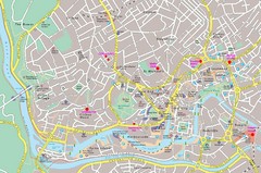
Bristol Centre Map
344 miles away
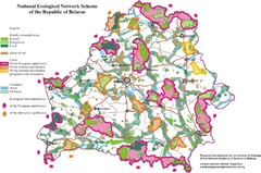
Belarus National Ecological Network Map
Ecological Network map of country of Belarus. Show protected lands, cores of significance, and...
943 miles away
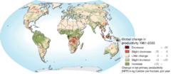
World map of changes in land primary productivity...
After periods of desertification, recent data has shown that arid regions has shown more plant life...
1183 miles away
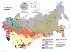
Soviet Union Land Use Map
This map color codes the different uses of land in the 1980's Soviet Union.
1323 miles away
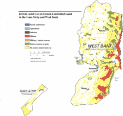
Gaza Strip and West Bank Jewish Land Use Map
2045 miles away
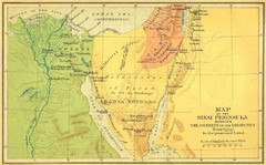
Sinai Peninsula Map - Journey of Israelites from...
Map of Sinai Peninsula showing the journeys of Israelites from Egypt to Promised Land.
2092 miles away
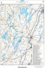
Kennebec Land Trust Map
Map of properties of the Kennebec Land Trust in Maine.
3352 miles away
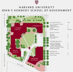
John F. Kennedy School of Government Campus Map
Campus map of the Harvard University John F. Kennedy School of Government in Cambridge...
3483 miles away
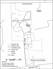
Parker Farm Trail Map
3529 miles away
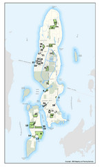
Conanicut Island Land Trust Map
Shows 430 acres of property on Conanicut Island, RI stewarded by the Conanicut Island Land Trust
3531 miles away
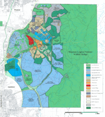
Mcclellan Land Use Map
"When the last note of taps played and the garrison flag was lowered at Fort McClellan in...
4474 miles away
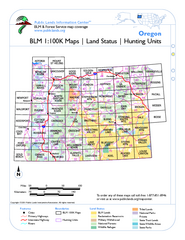
Oregon Hunting Unit/BLM Map Index
This map shows which BLM land ownership maps cover all hunting units in Oregon. Color indicates...
5058 miles away
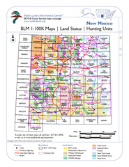
Index of BLM Maps for NM Hunting Units Map
This handy index shows the BLM surface management (land ownership) maps you need for all the...
5191 miles away
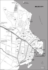
Belize City map
Detailed map of the Belize City road system.
5423 miles away
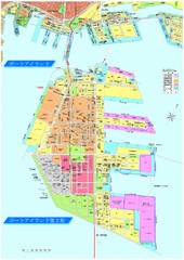
Port Island 2nd Stage Map
Map of Port Island in Kobe City shows 2nd Stage that has been constructed on the southern end of...
5725 miles away


 Explore Maps
 Map Directory
