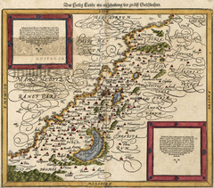
Munster’s Map of the Holy Land (1588)
Sebastian Munster's map of the Abrahamic Holy Land in 1588.
0 miles away
Near israel
1999 × 1759•791 KB•JPG
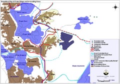
Anata Village Geopolitical Map
Geopolitical map of Anata Village in the West Bank and surrounding areas
33 miles away
Near Jerusalem, Israel
1703 × 1190•327 KB•JPG
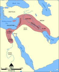
Fertile Crescent Map
Shows the Fertile Crescent of ancient times. Comprises parts of modern day Egypt, Israel, Lebanon...
136 miles away
Near BÄ'ir, Jordan
2000 × 2454•990 KB•PNG
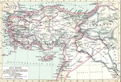
Asia Minor map
Roman era Asia Minor and surrounding areas
354 miles away
Near Asia Minor
2223 × 1500•351 KB•JPG
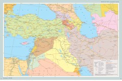
Near East Map
Map of the Near East and the Caucasus
633 miles away
Near Near East
1154 × 769•137 KB•JPG
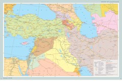
Map of Near East And South Caucasus
Map of Near East and South-Caucassian countries
709 miles away
Near South Caucasus
903 × 602•142 KB•JPG
page 1 of 1


 Explore Maps
 Map Directory
