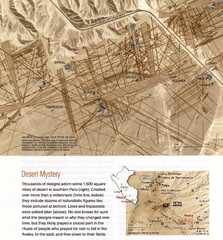
Nasca Lines Map
From National Geographic Magazine
0 miles away
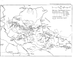
Vilcabamba Map
Shows the old Vilcabamba in Peru from the time of the Incas
155 miles away
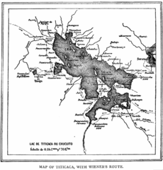
Lake Titicaca 1889 Map
352 miles away
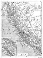
Peru 1906 Map
397 miles away
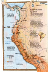
Pizzaro's South American Exploration routes...
637 miles away
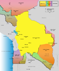
Alleged territorial losses of Bolivia Map v2.0
This another Bolivian map shows all the alleged territorial losses.
773 miles away
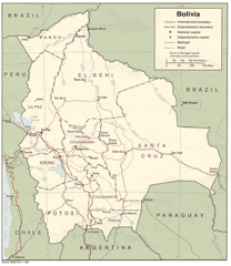
Bolivia Detail Map, 1986 Map
773 miles away
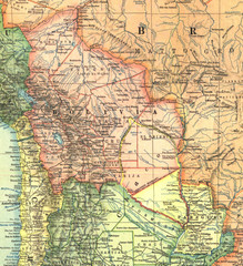
Bolivia and Paraguay in 1921 Map
1921 National Geographic Map of Bolivia and Paraguay before of the 1932-35 bloody war between those...
835 miles away
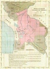
Alleged territorial losses of Bolivia Map
This Bolivian map shows all the alleged territorial losses.
934 miles away
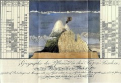
Humboldt's Scientific Representation of...
Alexander von Humboldt's scientific representation of the Chimborazo volcano in Ecuador...
955 miles away
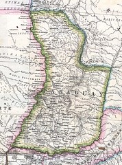
Paraguay Political Map 1875
Political map of Paraguay in 1875. Part of "Mapa Original de la Republica Argentina y Estados...
1241 miles away
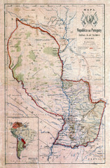
Map of Paraguay before the Chaco War
This dateless map of Paraguay that I scanned shows all the local claim over the Chaco (the northern...
1241 miles away
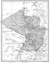
Map of Paraguay before the Chaco War
This is an internationally accepted map of Paraguay before the Chaco War (1932-35) made by Scottish...
1241 miles away
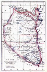
All the failed proposals to delimit the Chaco Map
Here you can see all the proposals to delimit the Chaco between 1879 and 1894. Everyone of them...
1241 miles away
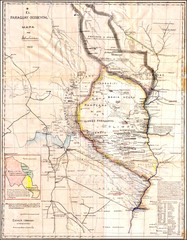
Wartime map of the Chaco
This 1933 map of the Chaco was made during the Chaco War between Paraguay and Bolivia and used by...
1241 miles away
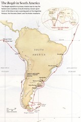
Darwin's South American Voyages 1831/36 Map
From National Geographic Magazine
1376 miles away

Galapagos Islands Map
1475 miles away
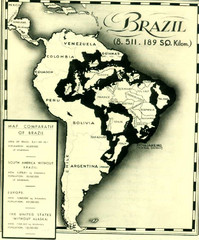
Europe inside of Brazil Map
A map from the '30s showing how Brazil could easily contain all the European countries without...
1558 miles away
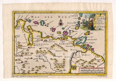
Antique Venezuela map
Very rare medium size map by Pieter van der Aa, published in his description of the Spanish...
1610 miles away
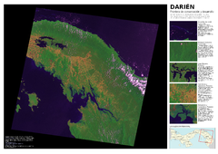
Darién: Frontera de conservación y...
Mapa de Darién: cobertura y uso de suelo 2004.
1618 miles away
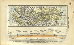
Panama Canal Historical Atlas, 1911 Map
1674 miles away
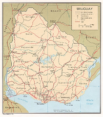
Uruguay (Political) 1973 Map
1728 miles away
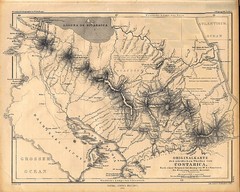
1861 Costa Rica Map
Guide to Costa Rica in unique blend of German and Spanish languages
1804 miles away
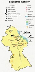
Guyana - Economic Activity, 1973 Map
1840 miles away
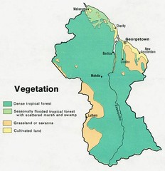
Guyana - Vegetation, 1973 Map
1890 miles away
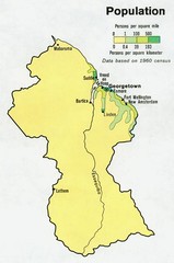
Guyana - Population 1973 Map
1890 miles away

Guyana - Ethnic Groups, 1973 Map
1891 miles away
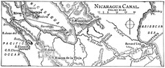
Route of Nicaragua Canal 1906 Map
1942 miles away

Panoramic view of Nicaragua Canal route Map
1942 miles away
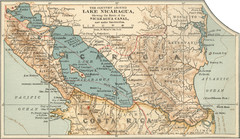
Early map of Nicaragua Canal
This was the original route for a canal across Central America
1975 miles away
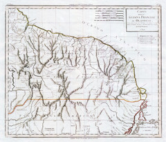
French Guiana 1824 Map
2015 miles away
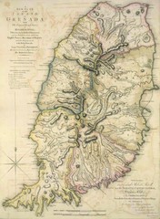
Grenada 1795 Map
2074 miles away
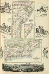
Middle Provinces of Brazil Map 1872
Map of province east coast of Brazil (Bahia) and province of Rio de Janeiro, Brazil 1872
2096 miles away
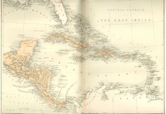
Central America and the West Indies Map
Historical Map of Central America and the West Indies Map
2105 miles away
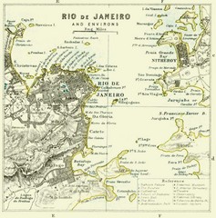
Rio De Janeiro Historical Map
Map of Rio De Janeiro, Brazil fro 1896. Map showis towns, buildings and roads.
2156 miles away
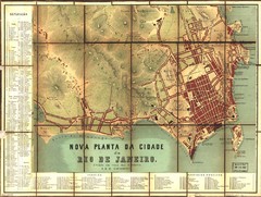
Rio de Janeiro Map 1867
Detailed map of city of Rio de Janeiro. Looks like the map portion has been overlayed on top of a...
2156 miles away
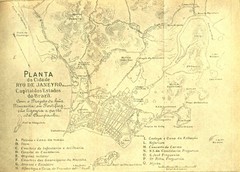
Rio De Janeiro Historical Map
Map of Rio De Janeiro, Brazil likely from 1769 showing the city streets and main buildings.
2158 miles away
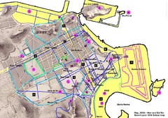
New and Old Rio de Janiero Map
Shows 2000 view of Rio de Janeiro, Brazil superimposed over 1838 Dufour map.
2159 miles away
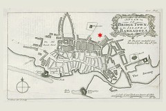
Bridgetown 1776 Map
2200 miles away
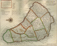
Old-time Map of Barbados
2208 miles away


 Explore Maps
 Map Directory
