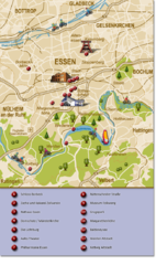
Essen Region Tourist Map
Tourist map of region of Essen
0 miles away
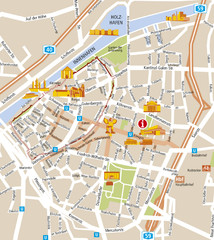
Duisburg City Map
Street map of Duisburg center
11 miles away
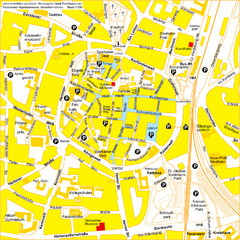
Recklinghausen Map
Street map of city
13 miles away
Xanten Tourist Map
Xanten center tourist map
28 miles away
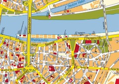
Cologne Center Map
Street map of city center of Cologne
36 miles away
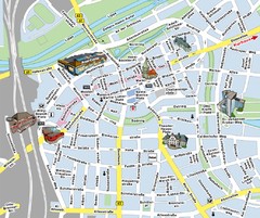
Hamm Center Tourist Map
Tourist street map of Hamm center
38 miles away
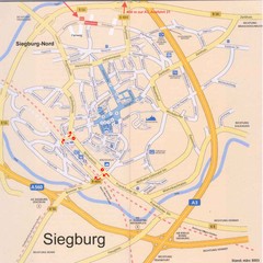
Siegburg Map
Street map of town of Siegburg
47 miles away
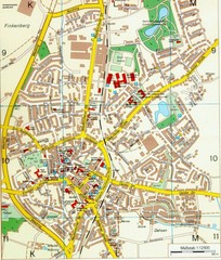
Ennirgerloh Map
Street map of Ennirgerloh
51 miles away
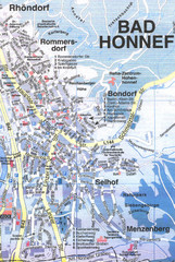
Bad Honnef Map
Street map of Bad Honney
57 miles away
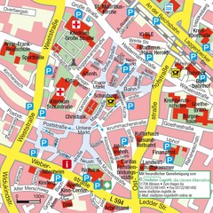
Ibbenbüren Downtown Map
Street map of Ibbenbüren city center
64 miles away
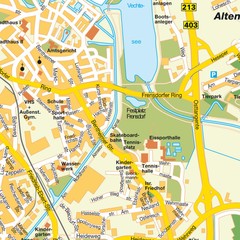
Nordhorn Center Map
Street map of Nordhorn town center
67 miles away
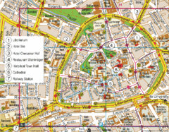
Paderborn Center Map
Street map of Paderborn city center
77 miles away
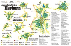
Herborn Tourist Map
Tourist map of Herborn and surrounding area
77 miles away
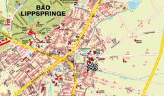
Bad Lippspringe Map
Street map of Bad Lippspringe
81 miles away
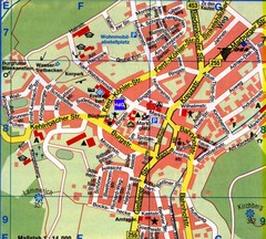
Gladenbach Map
Street map of town of Gladenbach
83 miles away
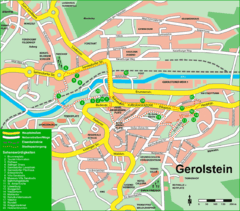
Gerolstein Map
Street map of Gerolstein
87 miles away
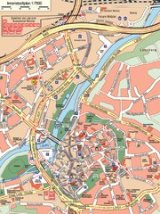
Wetzlar Center Map
Street map of town center of Wetzlar
90 miles away
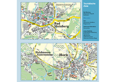
Horn-Bad Meinberg Map
Street map of Horn-Bad Meinberg and surrounding area
90 miles away
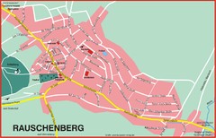
Rauschenberg Map
Street map of town of Rauschenberg
91 miles away
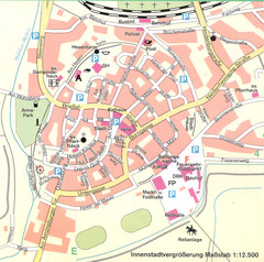
Kirchain Center Map
Street map of Kirchain center
94 miles away
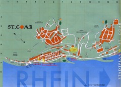
Sankt Goar Town Map
Town map of Sankt Goar, Germany. Sankt Goar is a picturesque little town on the Rhein river, about...
95 miles away
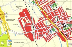
Bad Camberg Map
Street map of town of Bad Camberg
97 miles away
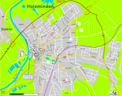
Holzminden Map
Street map of Holzminden
108 miles away
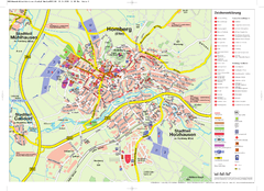
Homberg (Efze) Tourist Map
Tourist street map of Homberg
108 miles away
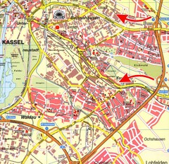
Bettenhausen Map
Map of Bettenhausen
109 miles away


 Explore Maps
 Map Directory
