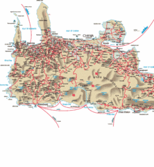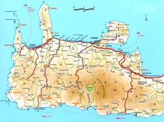
Western Crete Tourist Map
Tourist map of western portion of Crete. Shows points of interest.
0 miles away
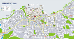
Chania Tourist Map
Tourist map of the town of Chania on the island of Crete, Greece. Shows points of interest.
15 miles away
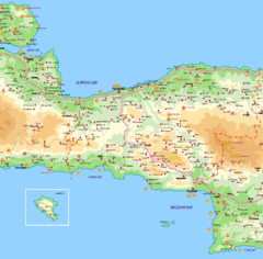
Rethymno Map
33 miles away
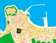
Rethymno City Map
City map of central Rethymno, Crete
40 miles away
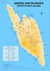
Antikythira Tourist Map
Tourist map of island of Antikythira, Greece. Shows points of interest.
40 miles away
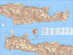
Crete Island Road Map
60 miles away
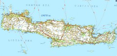
Crete Road Map
60 miles away

Crete Map
63 miles away

Crete Tourist Map
Tourist map of island of Crete, Greece. Shows points of interest.
65 miles away
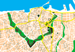
Irakleio Crete City Map
City map of Iraklio, Crete.
76 miles away
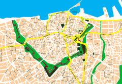
Heraklion City Map
City map of central Heraklion, Crete.
76 miles away
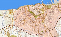
Heraklion Street Map
Street map of Heraklion (Iraklio), Greece on island of Crete. Shows all points of interest. In...
77 miles away
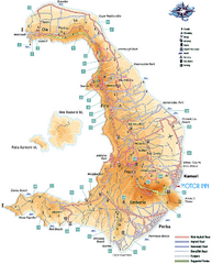
Santorini Tourist Map
Tourist map of Greek island of Santorini. Shows roads and points of interest with legend.
113 miles away
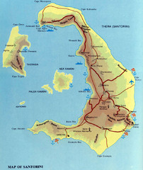
Santorini Tourist Map
Tourist map of Santorini shows beaches, cities and roads.
113 miles away

Oia Tourist Map
Tourist map of Oia, Santorini, Greece. Scanned.
114 miles away
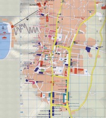
Fira Tourist Map
Tourist map of town of Fira, Santorini, Greece
115 miles away
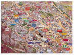
Thira Santorini Tourist Map
Birds-eye view tourist map of Thira (Fira), Santorini, Greece. Shows logos of local businesses.
115 miles away
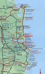
Santorini, Greece Beach Tourist Map
115 miles away
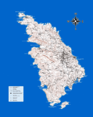
Sifnos Topo Map
Topographical map of the island of Sifnos, Greece. Shows tourist points of interest.
118 miles away
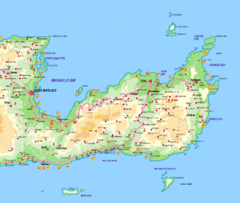
Lassithi Map
127 miles away
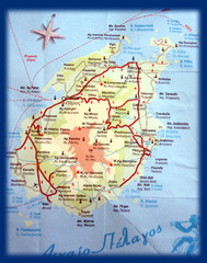
Paros Island Map
Overview map of island of Paros, Greece. Photo of paper map.
137 miles away
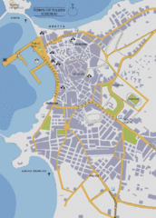
Naxos Town Map
Simplified tourist map of town of Naxos, Greece.
146 miles away
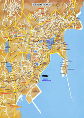
Ermoupolis Map
153 miles away
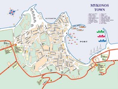
Mykonos Town Map
Tourist map of the town of Mykonos on the island of Mykonos, Greece. Shows points of interest.
164 miles away
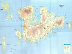
Mykonos Island Map
Also shows Delos Island and Rinia Island.
165 miles away
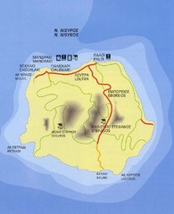
Nissyros Island Map
Overview map of the island of Nissyros (Nisiros), Greece.
206 miles away
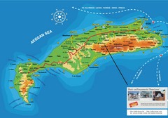
Kos Island Tourist Map
Tourist map of Kos Island
208 miles away
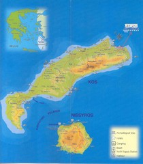
Kos Island Map
209 miles away
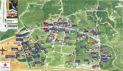
Kalamaki Zakynthos Tourist Map
Tourist map of town of Kalamaki on Zakynthos Island. Scanned.
226 miles away
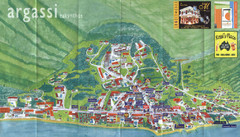
Argassi Tourist Map
Tourist map of Argassi, Zakynthos Island, Greece. Shows all businesses. Scanned.
226 miles away
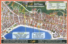
Zakynthos City Tourist Map
Tourist map of Zakynthos city on Zakynthos Island. Shows major points of interest and bus routes...
228 miles away
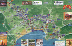
Tsilivi Tourist Map
Tourist map of town of Tsilivi, Zakynthos Island, Greece. Shows businesses. Scanned
231 miles away
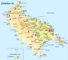
Zakinthos Tourist Map
Tourist map of island of Zakinthos, Greece. Shows symbols for tourist activities.
231 miles away
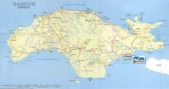
Samos Tourist Map
Tourist map of the island of Samos, Greece. Shows points of interest.
232 miles away
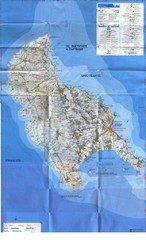
Zakynthos Island Map
Detailed map of Zakynthos Island. Scanned
233 miles away
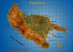
Zakynthos Tourist Map
Tourist map of island of Zakynthos, Greece. Shows points of interest. Scanned.
233 miles away
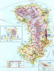
Chios Tourist Map
Tourist map of island of Chios, Greece. Shows points of interest. In Greek. Scanned.
235 miles away
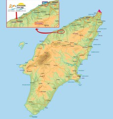
Rhodes Map
241 miles away


 Explore Maps
 Map Directory
