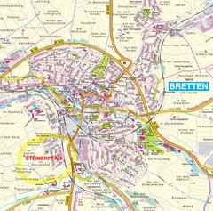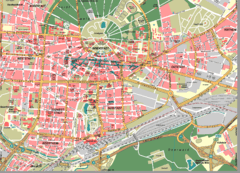
Karlsruhe Map
City street map of Karlsruhe
0 miles away
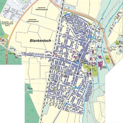
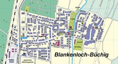
Blankenloch Map
Street map of town of Blankenloch
5 miles away
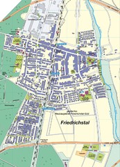
Friedrichstal Map
Street map of town of Friedrichstal
7 miles away
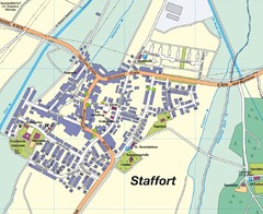
Staffort Map
Street map of town of Staffort
8 miles away
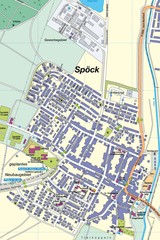
Spoeck Map
Street map of town of Spoeck
9 miles away
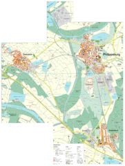
Philippsburg Map
Street map of Philippsburg
16 miles away
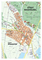
Wiesental Map
Street map of town of Wiesental
16 miles away
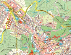
Baden Baden Street Map
Street map of city of Baden Baden
19 miles away
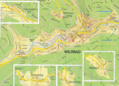
Bad Wildbad Map
Map of Bad Wildbad and surrounding region
19 miles away
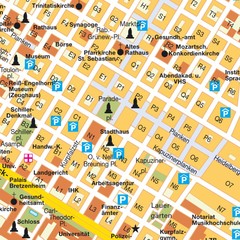
Central Mannheim Mp Map
Street map of Central Mannheim
33 miles away
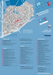
Viernheim Tourist Map
Tourist map of city of Viernheim
38 miles away
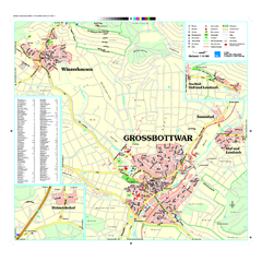
Großbottwar Map
Street map of Großbottwar and surrounding area
40 miles away
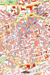
Kaiserslautern Center Map
Street map of Kaiserslautern city center
41 miles away
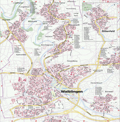
Waiblingen Map
City map of Waiblingen and surrounding region
43 miles away
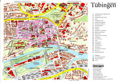
Tübingen Tourist Map
Tourist map of Old Town center of Tübingen
45 miles away
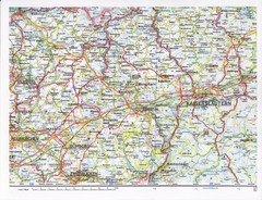
Gerhardsbrunn Map
46 miles away
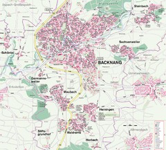
Backnang Region Map
Street map of Backnang and surrounding area
47 miles away
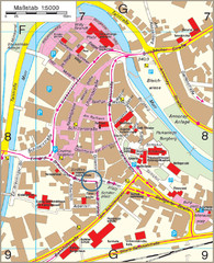
Backnang City Map
Street map of Backnang city center
47 miles away
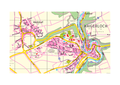
Haigerloch & Weildorf Map
Map of Haigerloch / Weildorf area
48 miles away
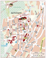
Oppenheim Altstadt Map
Street map of Altstadt area Oppenheim
58 miles away
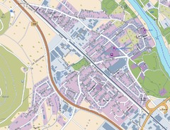
Kleinheubach Map
Street map of Kleinheubach
61 miles away
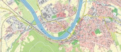
Miltenberg Map
Map of Miltenberg and surrounding area
62 miles away
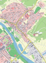
Grossheubach Map
Street map of Grossheubach
62 miles away
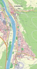
Klingenberg Map
Map of Klingenberg and surrounding region
64 miles away
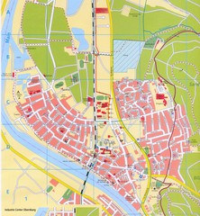
Erlenbach Map
Street map of town of Erlenbach
65 miles away
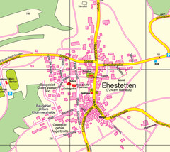
Ehestetten Map
Street map of Ehestetten
67 miles away
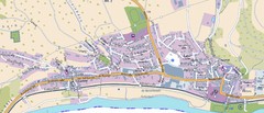
Collenberg Map
Street map of town of Collenberg
67 miles away
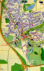
Bad Durrheim Map
Street map of Bad Durrheim
68 miles away


 Explore Maps
 Map Directory
