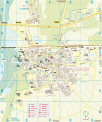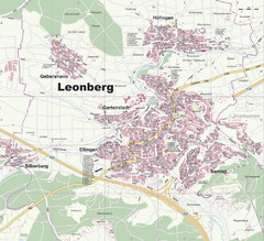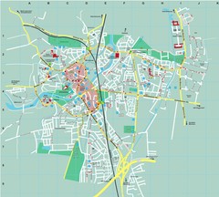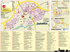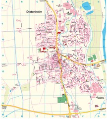
Dietenheim Map
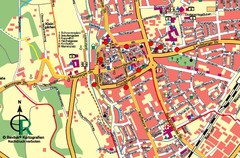
Street map of Dietenheim
0 miles away
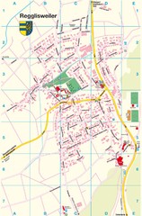
Regglisweiler Map
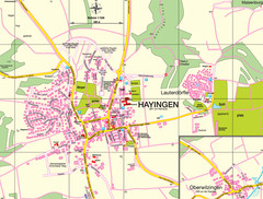
Map of town of Regglisweiler
less than 1 mile away
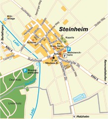
Ulm Steinheim Map
Street map of town of Ulm Steinheim
13 miles away
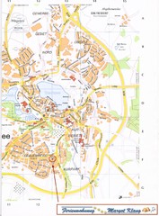
Bad Waldsee Map
Street map of Bad Waldsee
25 miles away
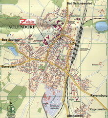
Aulendorf Map
Street map of city of Aulendorf
27 miles away
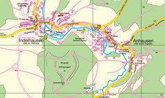
Indelhausen / Anhausen Map
Map of towns of Indelhausen & Anhausen
27 miles away
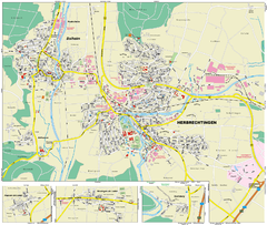
Herbrechtingen Map
Street map of city of Herbrechtingen
29 miles away
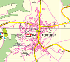
Ehestetten Map
Street map of Ehestetten
30 miles away
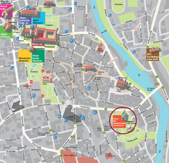
Kempten im Allgäu Tourist Map
Tourist street map of Kempten im Allgäu
35 miles away
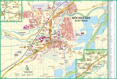
Höchstädt an der Donau Map
Street map of Höchstädt an der Donau
36 miles away
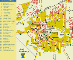
Landsberg Tourist Map
tourist map of town of Landsberg
40 miles away
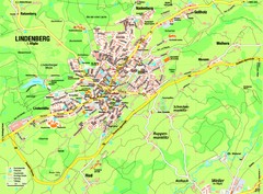
Lindenberg im Allgäu Map
Street map of Lindenberg
43 miles away
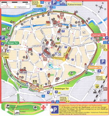
Nördlingen Tourist Map
Tourist street map of Nördlingen
48 miles away
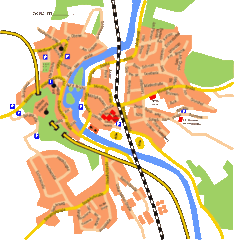
Harburg Map
Street map of Harburg town
49 miles away
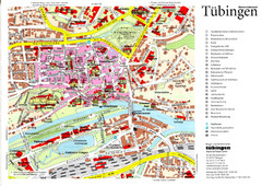
Tübingen Tourist Map
Tourist map of Old Town center of Tübingen
51 miles away
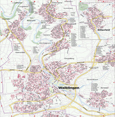
Waiblingen Map
City map of Waiblingen and surrounding region
55 miles away
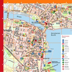
Konstanz Tourist Map
Tourist map of Konstanz
56 miles away
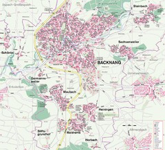
Backnang Region Map
Street map of Backnang and surrounding area
59 miles away
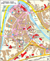
Backnang City Map
Street map of Backnang city center
59 miles away
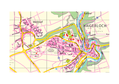
Haigerloch & Weildorf Map
Map of Haigerloch / Weildorf area
60 miles away
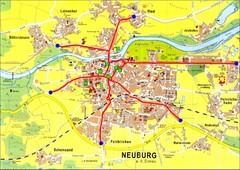
Neuburg an der Donau Map
Street map of Neuburg an der Donau
63 miles away
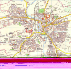
Crailsheim Map
Street map of Crailsheim region
64 miles away
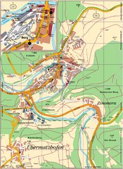
Pappenheim Map
Street map of Pappenheim
65 miles away
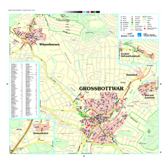
Großbottwar Map
Street map of Großbottwar and surrounding area
65 miles away
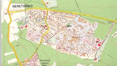
Geretsried Map
Street map of Geretsried
70 miles away
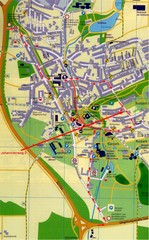
Bad Durrheim Map
Street map of Bad Durrheim
72 miles away
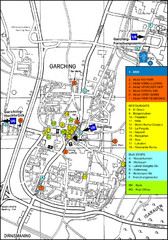
Garching Tourist Map
Tourist map of Garching bei Munchen, Germany. Shows hotels, restaurants and the most important bus...
73 miles away
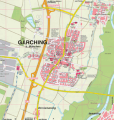
Garching bei München Map
Street map of Garching bei München
73 miles away
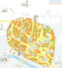
Herrieden Map
Street map of town center of Herrieden
73 miles away
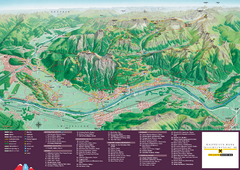
Liechtenstein Tourist Map
Tourist map of the country of Liechtenstein. Panoramic view shows all towns, trails, and mountains.
76 miles away
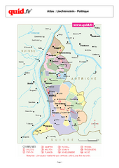
Liechtenstein Regional Map
Country map with detail of regional divides
78 miles away
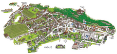
Vaduz Town Map
Tourist map of town of Vaduz, Liechtenstein. Panoramic view shows buildings and streets.
78 miles away


 Explore Maps
 Map Directory
