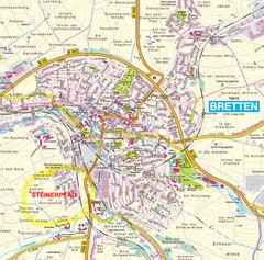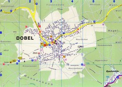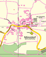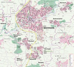
Backnang Region Map
Street map of Backnang and surrounding area
0 miles away
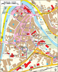
Backnang City Map
Street map of Backnang city center
less than 1 mile away
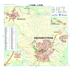
Großbottwar Map
Street map of Großbottwar and surrounding area
8 miles away
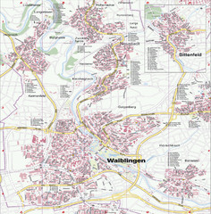
Waiblingen Map
City map of Waiblingen and surrounding region
9 miles away
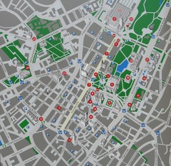
Stuttgart Tourist Map
Tourist street map of Stuttgart center
16 miles away
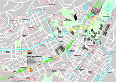
Stuttgart Street Map
Street map of Stuttgart, Germany. Show major buildings and public transport routes.
16 miles away
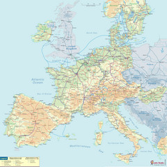
European Railway Map
28 miles away
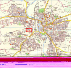
Crailsheim Map
Street map of Crailsheim region
32 miles away
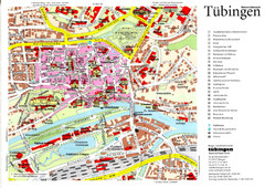
Tübingen Tourist Map
Tourist map of Old Town center of Tübingen
34 miles away
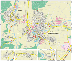
Herbrechtingen Map
Street map of city of Herbrechtingen
41 miles away
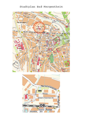
Bad Mergentheim Map
Street map of Bad Mergentheim
41 miles away
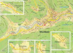
Bad Wildbad Map
Map of Bad Wildbad and surrounding region
42 miles away
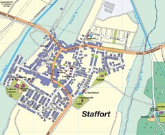
Staffort Map
Street map of town of Staffort
43 miles away
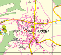
Ehestetten Map
Street map of Ehestetten
43 miles away
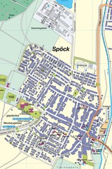
Spoeck Map
Street map of town of Spoeck
43 miles away
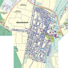
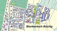
Blankenloch Map
Street map of town of Blankenloch
44 miles away
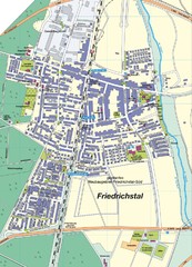
Friedrichstal Map
Street map of town of Friedrichstal
45 miles away
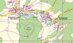
Indelhausen / Anhausen Map
Map of towns of Indelhausen & Anhausen
45 miles away
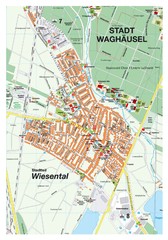
Wiesental Map
Street map of town of Wiesental
46 miles away
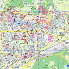
Karlsruhe Tourist Map
Tourist map of Karlsruhe
47 miles away
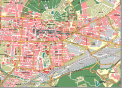
Karlsruhe Map
City street map of Karlsruhe
47 miles away
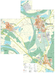
Philippsburg Map
Street map of Philippsburg
49 miles away
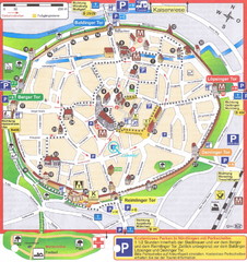
Nördlingen Tourist Map
Tourist street map of Nördlingen
49 miles away
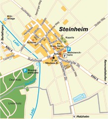
Ulm Steinheim Map
Street map of town of Ulm Steinheim
49 miles away
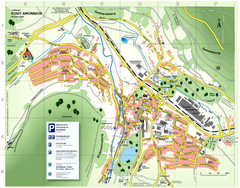
Amorbach Tourist Map
Tourist map of Amorbach
49 miles away
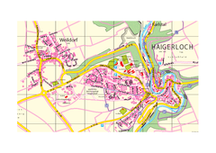
Haigerloch & Weildorf Map
Map of Haigerloch / Weildorf area
49 miles away
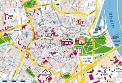
Speyer City Map
City map of central Speyer, Germany
52 miles away
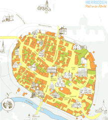
Herrieden Map
Street map of town center of Herrieden
52 miles away


 Explore Maps
 Map Directory
