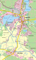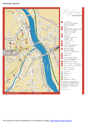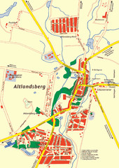
Altlandsberg Map
Map of town of Altlandsberg
0 miles away
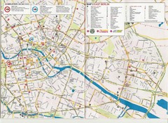
Berlin City Map
City map of Berlin with tourist information
13 miles away
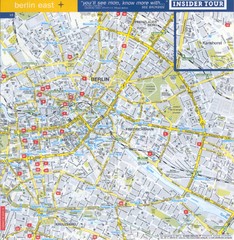
Berlin Street map - East
Street map of eastern Berlin, Germany.
13 miles away
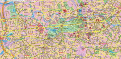
Berlin Center Map
14 miles away
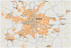
Berlin City Map
City map of Berlin Metropolitan area
14 miles away
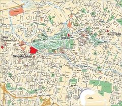
Berlin Tourist Map
Landmarks, neighborhoods and areas of Berlin
14 miles away
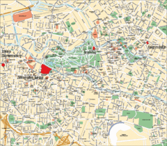
Berlin Tourist Map
14 miles away
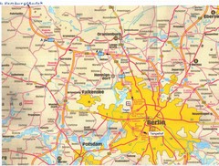
Berlin Tourist Map
14 miles away
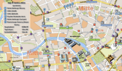
Berlin Tourist Map
14 miles away
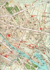
Berlin Tourist Map
14 miles away
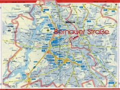
Berlin Tourist Map
14 miles away
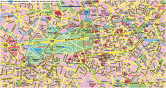
Central Berlin Street Map
Street map of central Berlin, Germany with some major building drawings. In German. Karte von...
16 miles away
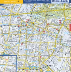
Berlin Street Map - West
Street map of western Berlin, Germany.
17 miles away
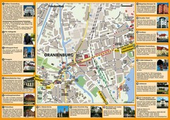
Oranienburg Tourist Map
Tourist street map of Oranienburg
24 miles away
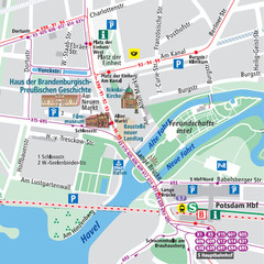
Potsdam City Center Map
Tourist map of Potsdam city center
30 miles away
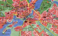
Potsdam Tourist Map
Tourist map of Potsdam
31 miles away
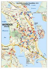
Werder (Havel) Tourist Map
Tourist map of Werder (Havel)
37 miles away
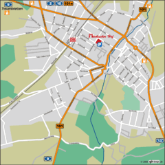
Luckenwalde Map
Street map of Luckenwalde
40 miles away
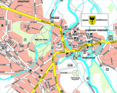
Lübben (Spreewald) Map
Street map of Lübben (Spreewald)
44 miles away
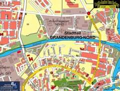
Brandenburg an der Havel Map
Street map of Brandenburg an der Havel center
50 miles away
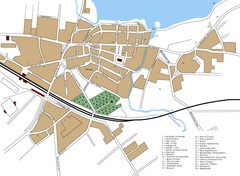
Woldenberg Map
Street map of city of Woldenberg
50 miles away
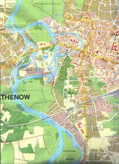
Rathenow Map
Street map of town of Rathenow
58 miles away
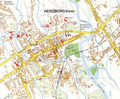
Herzberg (Elster) Map
Street map of Herzberg
64 miles away
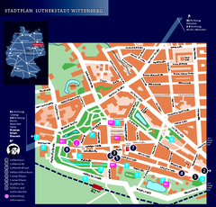
Wittenberg Tourist Map
City tourist map of Wittenberg, Germany
66 miles away
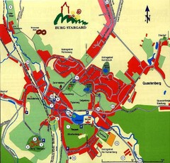
Burg Stargard Tourist Map
tourist map of Burg Stargard
67 miles away
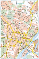
Szczecin Tourist Map
Tourist map of central Szczecin, Poland. Shows points of interest.
69 miles away
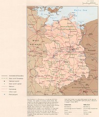
E Germany Map
71 miles away
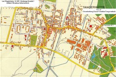
Tangerhuette Map
Street map of city of Tangerhuette
81 miles away
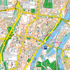
Magdeburg City Map
City map of central Magdeburg, Germany
93 miles away
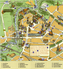
Bautzen Tourist Map
Tourist map of Bautzen town center
100 miles away
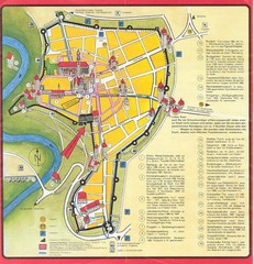
Rothenburg Tourist Map
Tourist map of town of Rothenburg
100 miles away


 Explore Maps
 Map Directory
