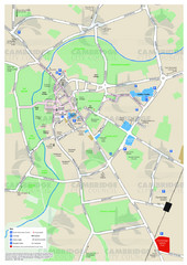
Cambridge Area Map
City map of Cambridge, England. Shows public facilities.
0 miles away
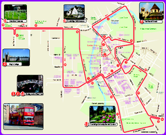
Cambridge Bus Tour Map
Cambridge Bus Tour Map - City Sightseeing
0 miles away
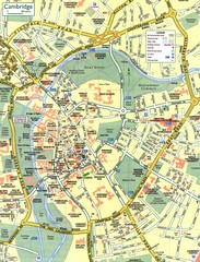
Cambridge Street Map
Street map of central Cambridge, England. Shows University of Cambridge.
less than 1 mile away
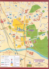
Peterborough City Center Map
City map of central Peterborough, England
30 miles away
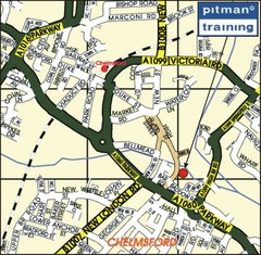
Chelmsford Map
36 miles away
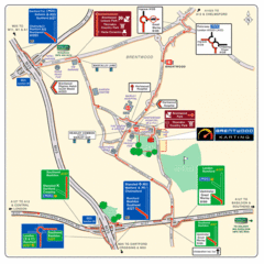
Brentwood, Essex Map
43 miles away
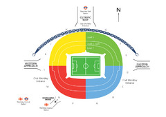
UK Wembley Stadium Map
48 miles away
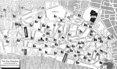
London Church Map
Map of the City of London showing 47 churches and 9 Towers
49 miles away
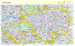
London City Map
City map of London with information and parking locations
49 miles away
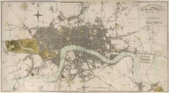
London Map 1807
1807 "London in miniature" map. Scanned.
49 miles away
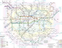
London Tube Map
50 miles away
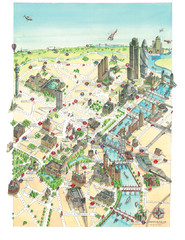
Aerial map of London
Map of London by Katherine Baxter
50 miles away
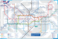
London Underground Tube Map
Map of London's underground Tube
50 miles away
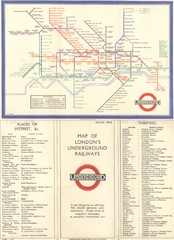
London Railway Map
50 miles away
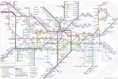
Tube Map
Map of London's Tube transportation lines and stops
50 miles away
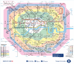
London, England Underground Map
50 miles away
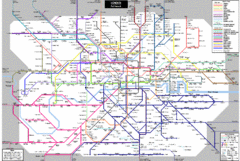
London Subway Map
50 miles away
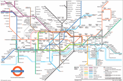
London Subway Map
50 miles away
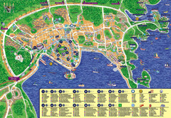
London Tourist Map
50 miles away
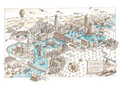
Map of London
Aerial map of London, a look at the History of London and the River Thames
50 miles away
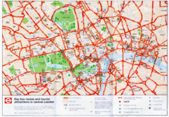
London Bus and Tourist Map
Key bus routes and tourist attractions in central London. Scanned.
50 miles away
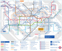
London Tube Map
50 miles away
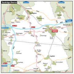
Tandridge District, England Region Map
66 miles away
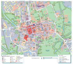
Oxford City Map
Tourist street map of Oxford
67 miles away
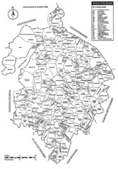
Warwichshire, England Region Map
68 miles away
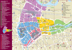
Reading Tourist Map
Tourist map of city center of Reading, England. Shows attractions and other tourist points of...
70 miles away
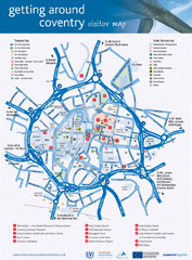
Coventry Tourist Map
Tourist map of central Coventry, England. Shows points of interest.
71 miles away
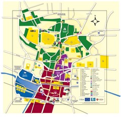
Lincoln Tourist Map
Tourist map of Lincoln, England. Shows points of interest.
76 miles away
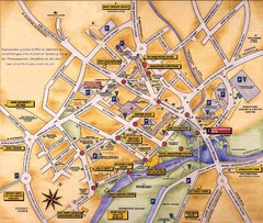
Stratford-upon-Avon Tourist Map
Tourist map of Stratford-upon-Avon, UK. Shows points of interest.
78 miles away
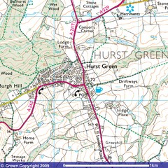
Hurst Green, England City Map
83 miles away

Birmingham City Map
Street map of Birmingham, England. Shows buildings, hospitals, parking, and schools.
88 miles away
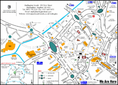
Central Birmingham Map
88 miles away
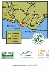
East Sussex, England Bus System Route Map
88 miles away
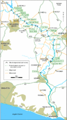
East Sussex, England City Map
88 miles away
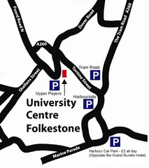
University Centre at Folkestone Map
90 miles away
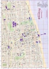
West Sussex, England Map
92 miles away
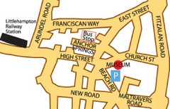
Museums in West Sussex, England Map
92 miles away
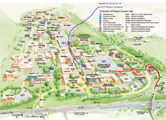
University of Sussex Campus Map
93 miles away
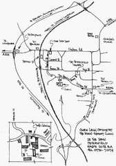
Petersfield, London Map
95 miles away
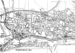
Shoreham-by-Sea, England City Map
96 miles away


 Explore Maps
 Map Directory
