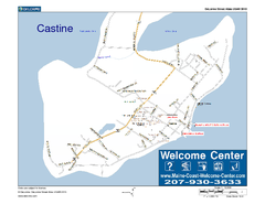
Castine, Maine, USA Map
Maine Coast Welcome Center's local Map of Castine, Me with recommended business locations.
0 miles away
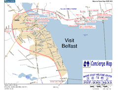
Belfast, Maine, USA Map
Maine Coast Welcome Center's local Map of Belfast, Me with recommended business locations. You...
10 miles away
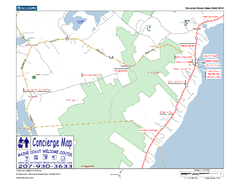
Lincolnville, Maine, USA Map
Maine Coast Welcome Center's local Map of Lincolnville, Me with recommended business locations.
13 miles away
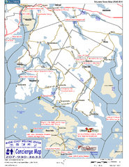
Blue Hill Peninsula, Maine, US Map
Maine Coast Welcome Center's local Map of the Blue Hill Peninsula, Me with recommended...
17 miles away
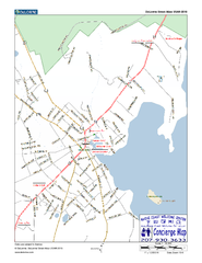
Camden, Maine, USA Map
Maine Coast Welcome Center's local Map of Camden, Me with recommended business locations.
18 miles away
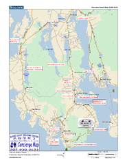
Southwest Harbor, Maine Map
Maine Coast Welcome Center's local Map of Southwest Harbor, Me with recommended business...
25 miles away
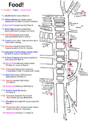
Rockland, Maine Restaurant Map
25 miles away
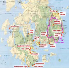
Mount Desert Island Tourist Map
Places of interest.
25 miles away
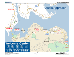
Acadia Approach Map
Maine Coast Welcome Center's local Map of the approach to Acadia, Me with recommended business...
27 miles away
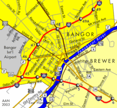
Bangor City Map
Airport, roads and interstates are on this map.
28 miles away
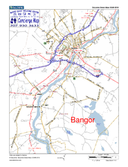
Bangor, Me, USA Map
Maine Coast Welcome Center's local Map of Bangor, Me with recommended business locations.
29 miles away
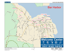
Bar Harbor, Maine, Us Map
Maine Coast Welcome Center's local Map of Bar Harbor, Me with recommended business locations.
29 miles away
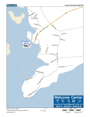
Port Clyde, Maine, USA Map
Maine Coast Welcome Center's local Map of Port Clyde, Me with recommended business locations.
36 miles away
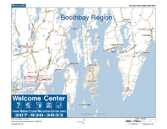
Boothbay Area, Maine, USA Map
Maine Coast Welcome Center's local Map of the Boothbay, Maine area with recommended business...
50 miles away
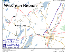
Western Maine, USA Map
Maine Coast Welcome Center's local Map of Western Maine with recommended business locations.
66 miles away
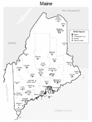
Maine Airports Map
68 miles away
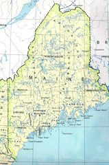
Maine Tourist Map
68 miles away
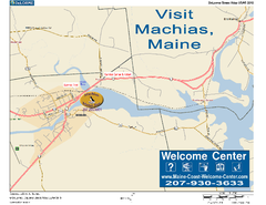
Machias, Maine, USA Map
Maine Coast Welcome Center's local Map of Machias, Me with recommended business locations.
70 miles away
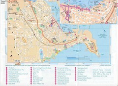
Falmouth Map
Map of Falmouth town and bay. Includes roads, parks, accommodations and attractions.
84 miles away
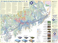
Maine's Ice Age Trail Map
86 miles away
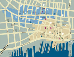
Portland, Maine Tourist Map
88 miles away
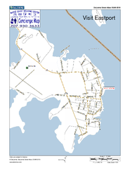
Eastport, Maine, USA Map
Maine Coast Welcome Center's local Map of Eastport, Me with recommended business locations.
96 miles away
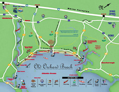
Old Orchard Beach Tourist Map
99 miles away
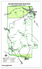
Baxter State Park Road Map
111 miles away
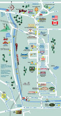
Mt. Washington Valley Restaurant Guide Map
Restaurants in Mt. Washington Valley, New Hampshire
117 miles away
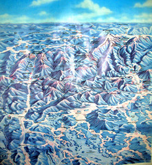
White Mountains New Hampshire Map
Old bird's eye view map of the White Mountain region of New Hampshire by Frank Thomas. Date of...
141 miles away
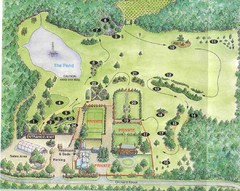
Newbury Perrenial Gardens Guide Map
154 miles away
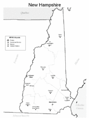
New Hampshire Airports Map
161 miles away
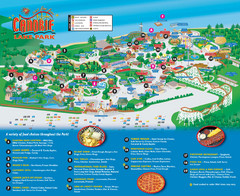
Canobie Lake Park Map
165 miles away
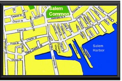
Salem, Massachusetts Guide Map
168 miles away
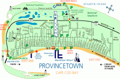
Provincetown, Massachusetts Map
Tourist map of Provincetown, Massachusetts. Shows beaches, visitor's center, bike trails, and...
176 miles away
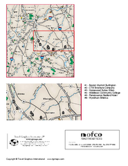
Greater Merrimack Valley, Massachusetts Map
Tourist map of greater Merrimack Valley, Massachusetts. Lodging, forests, and other points of...
178 miles away
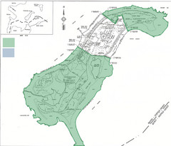
Thompson Island Easement Map
Map of Thompson Island easement. Includes roads, buildings, trails and attractions as well as the...
179 miles away
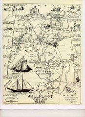
Wellfleet 1930s Tourist Map
A tourist map from the 1930s of Wellfeet, Massachusetts in Cape Cod. Courtesy of Cynthia Blakeley
180 miles away
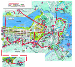
Boston Beantown Trolley Route Map
Route Map for the Boston Beantown trolley. Shows the trolley route, all stops, and a colorful...
180 miles away
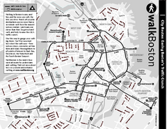
Walking Map of Boston, Massachusetts
Tourist map of Boston, Massachusetts, showing walking routes and times, as well as museums, squares...
180 miles away
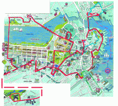
Boston 'Beantown Trolley' map
Tourist map of Boston, Mass. showing route of the Beantown Trolley, various points of interest and...
180 miles away
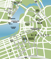
Central Boston Tourist Map
181 miles away


 Explore Maps
 Map Directory
