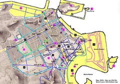
New and Old Rio de Janiero Map
Shows 2000 view of Rio de Janeiro, Brazil superimposed over 1838 Dufour map.
0 miles away
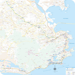
Rio de Janiero Map
2 miles away
. Map
3 miles away
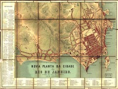
Rio de Janeiro Map 1867
Detailed map of city of Rio de Janeiro. Looks like the map portion has been overlayed on top of a...
3 miles away
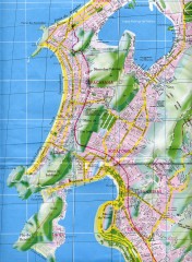
Rio de Janeiro Copacabana Area Map
Shows Copacabana and Pao de Azucar area of Rio de Janeiro, Brazil. Map is oriented south. Scanned.
3 miles away
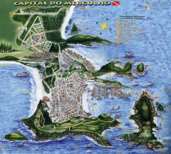
Arraial do Cabo Tourist Map
Tourist map of Arraial do Cabo, Brazil. Approx. 150 km from Rio de Janeiro. Hand-drawn panorama...
74 miles away
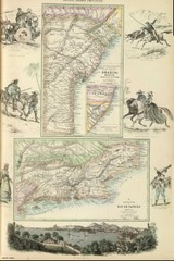
Middle Provinces of Brazil Map 1872
Map of province east coast of Brazil (Bahia) and province of Rio de Janeiro, Brazil 1872
78 miles away
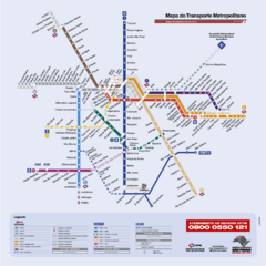
Sao Paulo Bus System Map
225 miles away
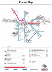
Sao Paulo Bus System Map
227 miles away
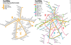
Curitiba Public Transportation Map
423 miles away
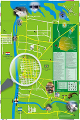
Iguacu Falls Tourist Map
Tourist map of Iguacu Falls, Brazil. Shows points of interest.
738 miles away
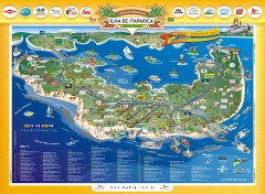
Ilha de Itaparica Tourist Map
Tourist map of Ilha de Itaparica, Brazil. In Portuguese.
746 miles away
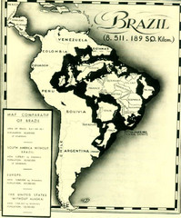
Europe inside of Brazil Map
A map from the '30s showing how Brazil could easily contain all the European countries without...
1203 miles away
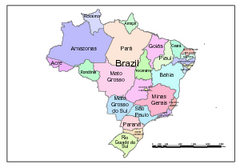
Brazil Map; Editable in Illustrator
Brazil Map, royalty free, fully editable with Illustrator. Mapsandlocations, a freelance company...
1381 miles away

Amazon River Map
Old map of the Amazon River and major tributaries.
1758 miles away
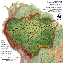
Amazon Basin Hydrosheds Map
Hydrosheds of the Amazon River Basin, the area drained by the Amazon River and its tributaries...
1769 miles away
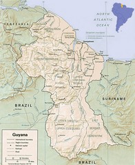
Guyana Map
Guide to the South American country of Guyana
2161 miles away
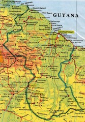
Guyana Topographic Map
Guide to Guyana, a country in South America
2181 miles away


 Explore Maps
 Map Directory
