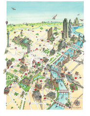
Aerial map of London
Map of London by Katherine Baxter
0 miles away
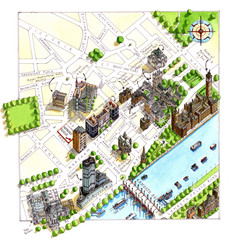
London Westminster Map
Aerial Map of Westminster london, showing the Houses of Parliament
less than 1 mile away
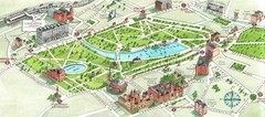
London Hyde Park map
Map of London, showing Hyde park.
1 mile away
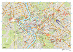
Rome Buildings Map
Map of Rome, Italy center. Shows major streets and buildings. Neighborhoods also shown.
892 miles away
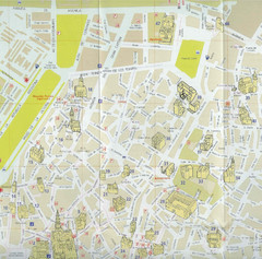
Cordoba Tourist Map
Tourist map of central Cordoba, Spain. Shows major public buildings. Scanned.
969 miles away
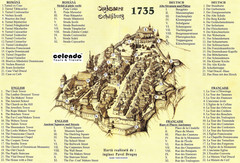
Sighisoara Town Map 1735
Old town map of building in Sighisoara, Romania. With points of interest in several languages
1185 miles away
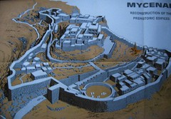
Ancient Mycenae Map
Map of Prehistoric reconstruction of edifices in Mycenae Corfu - green island of Greece
1465 miles away
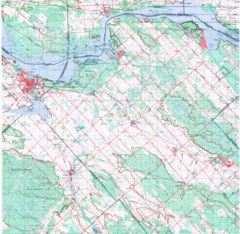
Upper Ottawa Valley, Ontario Topographic Map
Very mixed terrain, with several areas of rough, woods, water, and towns.
2416 miles away
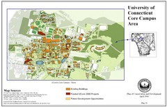
University of Connecticut Campus Map
Map shows current, funded projects and future development for UConn.
3348 miles away

Ogdensburg, New York Historical Map
A wonderful highlight are the art reproductions of homes and buildings which surround the map...
3355 miles away
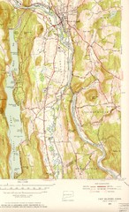
New Milford, Connecticut Map
New Milford, Connecticut topo map with roads, streets and buildings identified
3402 miles away

Broadway Elevation Map
Illustrative section of Broadway, from 125th Street to 134th Street, looking east
3458 miles away
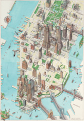
Manhattan New York Map
Aerial map of New York illustrated by UK illustrator Katherine Baxter.
3462 miles away
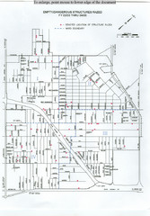
Empty Dangerous Structures Razed Map
flood zone elevation
4787 miles away
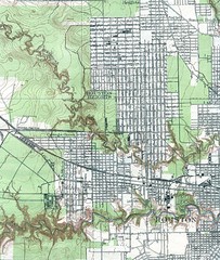
Houston Street and House level Map
Houston topo map with streets, buildings, towns
4853 miles away
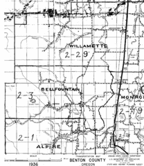
Transportaion for Benton County 1936 Map
1936 Map of Benton County, Oregon known as Muddy Area with counties, roads and towns marked
4989 miles away
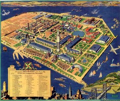
Golden Gate International Expo Cartograph 1939 Map
Bird's eye view of the Golden Gate International Expo in 1939 at Treasure Island in the San...
5355 miles away


 Explore Maps
 Map Directory
