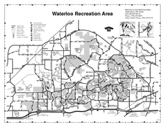
Waterloo State Recreation Area Map
The park is over 20,000 acres and has 4 campgrounds, beaches, picnic areas, 11 fishing lakes...
0 miles away
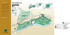
Side Cut Metropark Map
59 miles away
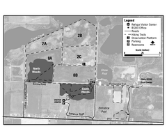
Ottawa National Wildlife refugee Map
67 miles away
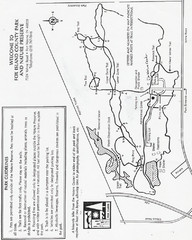
Fox Island Trail Map
Fox Island County Park trail map
108 miles away
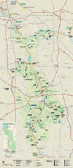
Cuyahoga Valley National Park Official Park Map
Official NPS map of Cuyahoga Valley National Park in Ohio. Map shows all areas. Cuyahoga Valley...
151 miles away
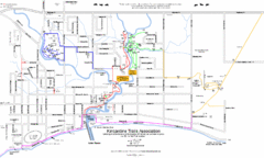
Kincardine Trail Map
Trail and street map of Kincardine, Ontario.
178 miles away
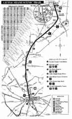
Little Miami Scenic Trail Map
Map of the Little Miami Scenic Trail biking route from Xenia, Ohio to Yellow Springs, Ohio. Shows...
180 miles away
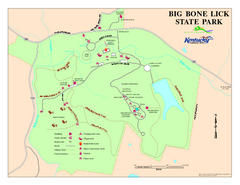
Big Bone Lick State Park Map
Map of trails and facilities for Big Bone Lick State Park.
241 miles away
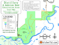
Distillery Conservation Area Map
Trail map of Distillery and Anderson Bend Conservation Areas in Boone County, IL.
245 miles away

Lib Conservation Area Map
Trail map of Lib Conservation Area in Boone County, Illinois.
246 miles away
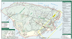
Mackinac Island Map
Tourist map of Mackinac Island, Michigan. Shows attractions.
246 miles away
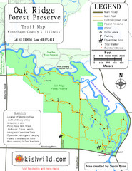
Oak Ridge Forest Preserve Map
Trail map of Oak Ridge Forest Preserve in Winnebago County, Illinois.
249 miles away
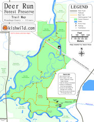
Deer Run Forest Preserve Map
Trail map of Deer Run Forest Preserve in Winnebago County, Illinois.
249 miles away
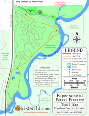
Espenscheid Forest Preserve Map
Trail map of Espenscheid Forest Preserve in Winnebago county, Illinois.
249 miles away

Rock Cut State Park Map
Trail map of Rock Cut State Park in Winnebago County, Illinois.
249 miles away
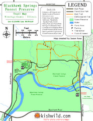
Blackhawk Springs Forest Preserve Map
Trail map of Blackhawk Springs Forest Preserve in Winnebago County, Illinois.
250 miles away
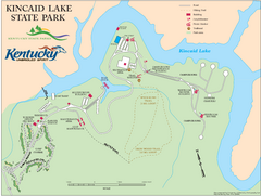
Kincaid Lake State Park Map
Map of trails, facilities and golf course in Kincaid Lake State Park.
251 miles away
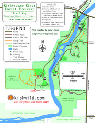
Kishwaukee River Forest Preserve Map
Trail map of Kishwaukee River Forest Preserve in Winnebago county, IL.
251 miles away
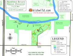
Rockford Rotary Forest Preserve Map
Trail map of Rockford Rotary Forest Preserve in Winnebago County, IL.
251 miles away

Kishwaukee Gorge Forest Preserve Map
Trail map of Kishwaukee Gorge Forest Preserve in Winnebago County, Illinois.
252 miles away
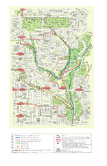
Toronto Brickworks Trail Map
Trail map of area around the Brickworks in Toronto, Canada
257 miles away
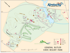
General Butler State Resort Park Map
Map of trails, facilities and golf course in General Butler State Resort Park.
259 miles away
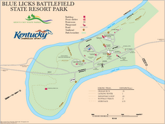
Blue Licks Battlefield State Resort Park Map
Map of Trails and Facilities in Blue Licks Battlefield State Resort Park.
263 miles away
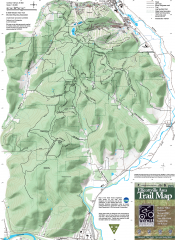
Ellicottville Area Trail Map
Shows mountain biking trails in the Holiday/Holimont/McCarty Hill/Rock City area south of...
277 miles away
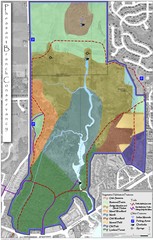
Pheasant Branch Conservancy Vegetation Map
Vegetation map of the Pheasant Branch Conservancy in Middleton, Wisconsin. Shows vegetative...
279 miles away
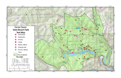
Carter Caves State Resort Park Topographic Trails...
Topographic map of the trails of Carter Caves State Resort Park.
279 miles away
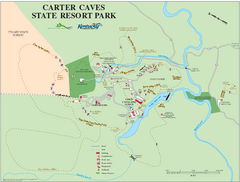
Carter Caves State Resort Park Map
Map of trails and facilities of Carter Caves State Resort Park.
279 miles away
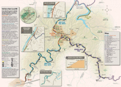
Rail Trails of North Central West Virginia Map
Trail map of rail-trails of north-central West Virginia. Shows the Mon River Trail, Caperton Trail...
286 miles away
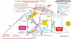
Sault Ste Marie Snowmobile Trail Map
Snowmobile trail map of Sault Ste Marie, Michigan
288 miles away
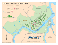
Grayson Lake State Park Map
Map of trails, facilities and golf course in Grayson Lake State Park.
291 miles away
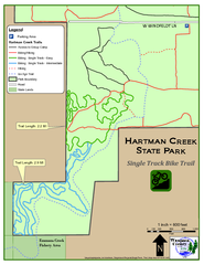
Hartman Creek State Park - Single Track Bike...
291 miles away
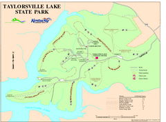
Taylorsville Lake State Park Map
Map of trails and facilities in Taylorsville Lake State Park.
306 miles away
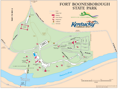
Fort Boonesborough State Park Map
Map of trails, historical sites and facilities at Fort Boonesborough State Park.
310 miles away
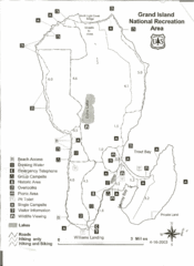
Grand Island National Recreation Area Map
315 miles away

Bellevue State Park Map
Map of hiking trails, public hunting area and facilities of Bellevue State Park.
323 miles away
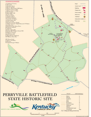
Perryville Battlefield State Historic Site Map
Map of trails and interpretive markers for the historical site of Perryville Battlefield.
326 miles away
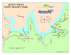
Jenny Wiley State Resort Park Map
Map of trails and facilities of Jenny Wiley State Resort Park.
329 miles away

Maquoketa Caves State Park Map
Map of trails and park facilities for Maquoketa Caves State Park.
342 miles away
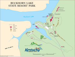
Buckhorn Lake State Resort Park Map
Map of Trails and Facilities of Buckhorn Lake State Resort Park.
347 miles away
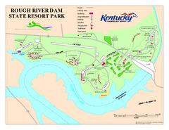
Rough River Dam State Resort Park Map
Map of trails, facilities and golf course in Rough River Dam State Resort Park.
351 miles away


 Explore Maps
 Map Directory
