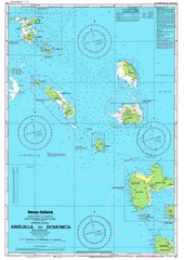
Leeward Islands Nautical Map
Nautical chart of the Leeward Islands in the Caribbean
0 miles away
Near Antigua
3756 × 5305•2.0 MB•JPG
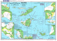
Anguilla St. Martin St. Barthelemy Nautical Map
Nautical map of Anguilla St. Martin St. Barthelemy. Shows insets of major ports.
123 miles away
Near Anguilla
5301 × 3783•2.8 MB•JPG
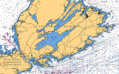
Cape Breton Island Nautical Map
Nautical map showing the Canso Strait, Isle Madame, Chedabucto Bay, and Cape Breton Island
2024 miles away
Near Cape Breton Island
2000 × 1245•1.0 MB•JPG
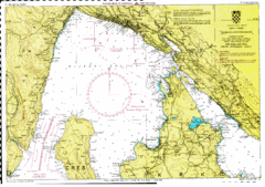
Rijeka hajózási Map
4753 miles away
Near rijeka
3264 × 2295•2.3 MB•GIF

Hvar Island Map
Nautical map of the island of Hvar. Town of Sucuraj highlighted.
4878 miles away
Near Hvar
3413 × 934•495 KB•JPG
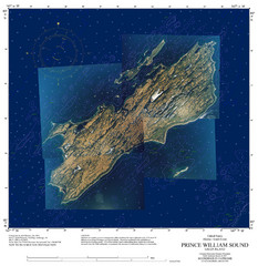
Green Island Map
Map of Green Island in Prince William Sound. Shows soundings in fathoms.
5074 miles away
Near Green Island
1600 × 1650•634 KB•JPG
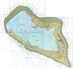
Wake Island Map
Nautical chart of Wake Island
6785 miles away
Near Wake Island
2874 × 2688•1014 KB•JPG
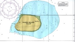
Baker Island Nautical Map
Nautical map of US unincorporated territory of Baker Island.
7844 miles away
Near Baker Island
2100 × 1195•455 KB•JPG
page 1 of 1


 Explore Maps
 Map Directory
