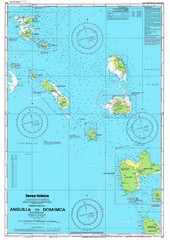
Leeward Islands Nautical Map
Nautical chart of the Leeward Islands in the Caribbean
0 miles away
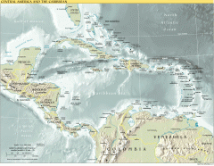
Overview map of Central America and the Caribbean
Shows the entire Caribbean region with names of islands/countries and major towns/cities.
894 miles away
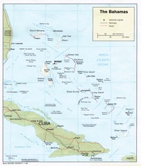
The Bahamas Tourist Map
1154 miles away
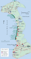
Cayman Islands Tourist Map
1284 miles away

Florida Keys Map
Tourist map of the Florida Keys. Shows points of interest and dive sites.
1363 miles away
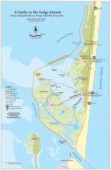
Island Beach State Park Canoe and Kayak map
Canoe and kayak guide to the Sedge islands in Island Beach State Park near Barnegat Bay, NJ. The...
1761 miles away
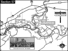
Knoxville, TN Tennessee River/Holston River...
This is the source of the Tennessee River at the confluence of the Holston River and French Broad...
1896 miles away
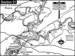
Kingston, TN Tennessee River/Clinch River/Emory...
Shows a bend on the Tennessee River at the confluence of the Clinch & Emory Rivers. For boat...
1920 miles away
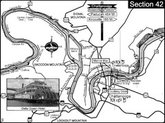
Chattanooga, TN Tennessee River Map
For boating navigational information and river road travel along the Tennessee River.
1924 miles away
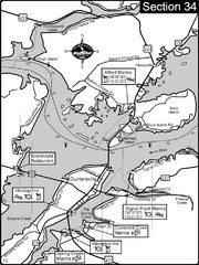
Guntersville, AL Tennessee River/Lake...
For boating navigational information and river road travel along the Tennessee River. This section...
1942 miles away

Bathymetric Chart of Mississippi Gulfshore...
1948 miles away
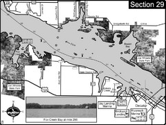
Decatur, AL Tennessee River/Wheeler Lake Map
For boating navigational information and river road travel along the Tennessee River. This section...
1990 miles away
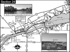
Florence, AL Tennessee River Map
For boating navigational information and river road travel along the Tennessee River. This map...
2025 miles away
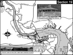
Pickwick Lake Tennessee River Map
For boating navigational information and river road travel along the Tennessee River. This map...
2060 miles away

Clifton, TN Tennessee River Map
For boating navigational information and river road travel along the Tennessee River.
2065 miles away
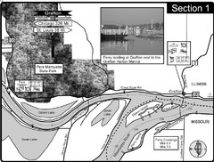
Grafton, IL Illinois River/Mississippi River/Pere...
This is the end of the Illinois River at the confluence with the Mississippi River. For boating...
2313 miles away
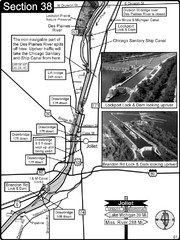
Joliet, IL Illinios river/Des Plaines River/I&...
For boating navigation and river road travel on the Illinois Waterway.
2316 miles away
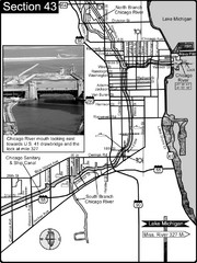
Chicago, IL Sanitary & Ship Canal/Chicago...
This is the beginning of the Illinois Waterway that connects Lake Michigan to the Mississippi River...
2318 miles away
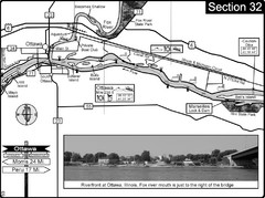
Ottawa, IL Illinois River/Fox River Map
For boating navigation and river road travel on the Illinois River. Shows confluence of the Fox...
2338 miles away
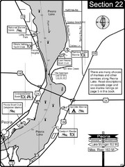
Peoria, IL Illinois River/Peoria Lake Map
For boating navigation and river road travel on the Illinois River.
2341 miles away
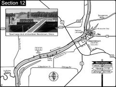
Beardstown, IL Illinois River Map
For boating navigation and river road travel.
2351 miles away
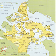
Nunavut Map
Map of Nunavut, Canada. Shows parks and geographical features in the territory.
4042 miles away
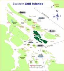
Southern Gulf Islands Map
Map of the region. Shows ferry routes.
4066 miles away
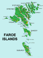
Faroe Islands Map
Overview map of the Faroe Islands.
4095 miles away
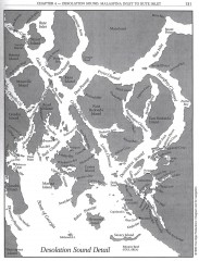
Desolation Sound Detail Map
Shows general geography of Desolation Sound from Malaspina Inlet to Bute Inlet. Shows Cortes Bay...
4160 miles away
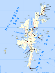
Shetland Islands Map
4233 miles away
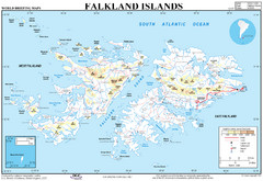
Falkland Islands Map
Overview elevation map of the Falkland Islands
4737 miles away
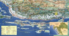
Pag Island Panoramic Map
Shows area around island of Pag, Croatia
4790 miles away
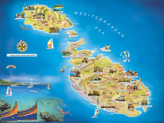
Malta Islands Tourist Map
4798 miles away
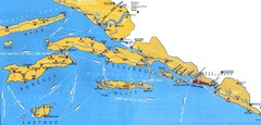
Dubrovnik Region Map
4914 miles away
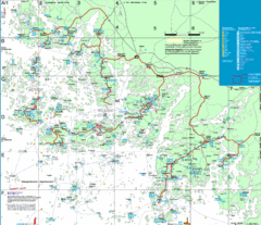
Turku Archipelago Tourist Map
Tourist map of the Turku Archipelago in Finland. In Finnish.
5024 miles away
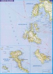
Ionian Islands Map
Overview map of the Greek Ionian Islands including Lefkada, Kefalonia, Zakynthos, Corfu, and Paxo...
5129 miles away
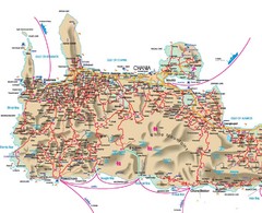
Iraklio Area Tourist Map
5336 miles away
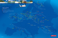
French Polynesia Map
Show islands of French Polynesia overlaid on outline map of Europe. Shows Air Tahiti flight...
6285 miles away
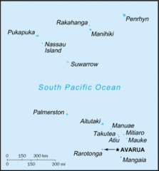
Cook Islands Tourist map
7129 miles away
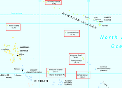
US Minor Outlying Islands Map
Shows all islands included in the United States Minor Outlying Islands designation.
7445 miles away
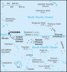
Kiribati Islands Map
7446 miles away
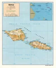
Samoa Islands Map
7810 miles away
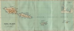
Samoa Islands 1889 Map
Historical map of Samoa islands from 1889
7810 miles away
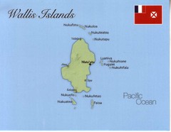
Wallis Islands Postcard Map
8073 miles away


 Explore Maps
 Map Directory
