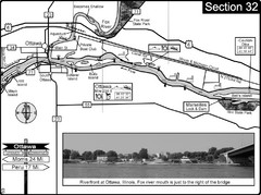
Ottawa, IL Illinois River/Fox River Map
For boating navigation and river road travel on the Illinois River. Shows confluence of the Fox...
0 miles away
Near Ottawa, IL
3864 × 2887•1.6 MB•JPG
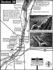
Joliet, IL Illinios river/Des Plaines River/I&...
For boating navigation and river road travel on the Illinois Waterway.
39 miles away
Near Joliet, IL
2892 × 3860•1.9 MB•JPG
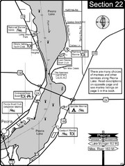
Peoria, IL Illinois River/Peoria Lake Map
For boating navigation and river road travel on the Illinois River.
56 miles away
Near peora, il
2900 × 3866•1.2 MB•JPG
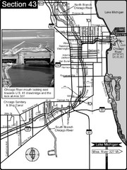
Chicago, IL Sanitary & Ship Canal/Chicago...
This is the beginning of the Illinois Waterway that connects Lake Michigan to the Mississippi River...
66 miles away
Near chicago, il
2887 × 3858•1.8 MB•JPG
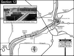
Beardstown, IL Illinois River Map
For boating navigation and river road travel.
126 miles away
Near beardstown, il
3860 × 2891•1.3 MB•JPG
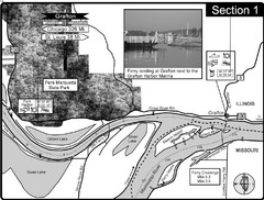
Grafton, IL Illinois River/Mississippi River/Pere...
This is the end of the Illinois River at the confluence with the Mississippi River. For boating...
187 miles away
Near grafton, IL
3871 × 2930•1.9 MB•JPG
page 1 of 1


 Explore Maps
 Map Directory
