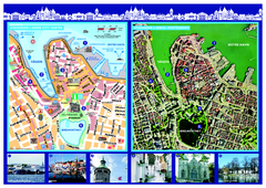
Stavanger City Center Aerial and Street Map
Tourist map of Stavanger, Norway. Shows street map and aerial photo map.
0 miles away
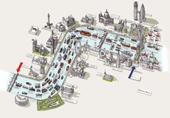
River Thames Jubilee Pageant Map
River Thames Jubilee Pageant 2012
565 miles away
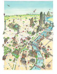
Aerial map of London
Map of London by Katherine Baxter
565 miles away
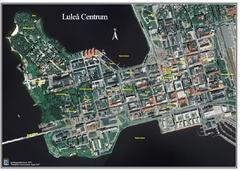
Lulea Center Aerial Map
Aerial map of city center of Lulea, Sweden. Annotated with points of interest.
695 miles away
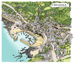
Mousehole map
Map of Mousehole. Aerial map of Mousehole, Cornwall.
761 miles away
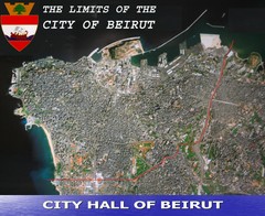
Beruit City Limits Map
Aerial map of city of Beruit, Lebanon showing city limits
2205 miles away
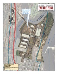
Green Island Map
Aerial town map of Green Island, New York on the Hudson River
3415 miles away
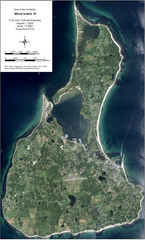
Block Island Aerial Map
Aerial map of Block Island, RI (New Shoreham, RI). True color orthophotography from August 2006.
3423 miles away
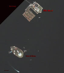
Ellis Island and Statue of Liberty Map
Aerial map of Ellis Island and the Statue of Liberty
3534 miles away
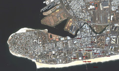
Coney Island Map
Aerial photo Coney Island map
3538 miles away
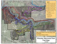
Wooster Memorial Park Trail Map
3795 miles away

Bowen Island 3D Aerial Map
3d aerial map of Bowen Island, BC
4424 miles away
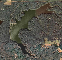
Lake Tallavana Map
Lake Tallavana aerial Map of the lake and surrounding areas.
4443 miles away
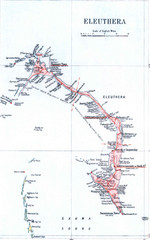
Eleuthera Island Map
4466 miles away
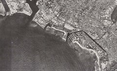
Honolulu, Hawaii Aerial Map
6820 miles away
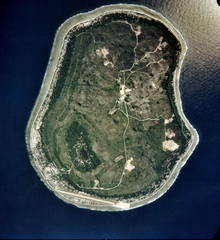
Nauru Satellite Map
Satellite photo map of island of Nauru
8281 miles away
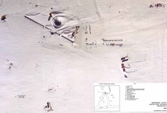
Amundsen Scott South Pole Station Aerial Map
Aerial photo map of the US Amundsen Scott South Pole Station at the South Pole, Antarctica
10115 miles away

Temple Basin Ski Trail Map
Ski trail map of Temple Basin ski area in New Zealand
11188 miles away


 Explore Maps
 Map Directory
