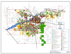
City of Bakersfield Zoning Map
This map depicts zoning for the City of Bakersfield. This map is not the official zoning map for...
0 miles away
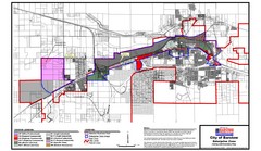
City of Barstow Zoning Map
Map illustrates the zoning and boundary areas of the city of Barstow.
117 miles away
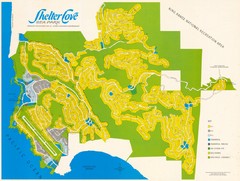
Shelter Cove Map
Shelter Cove Subdivision Map. Shows all streets, houses, commercial buildings, gas stations, and...
424 miles away
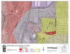
Bend, Oregon Zoning Map
Map of the zoning area changes in Bend, Oregon. Includes color-coded zoning areas.
613 miles away
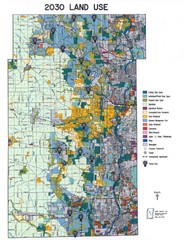
Kane County Land Use Map
Map of Land Use in Kane County. Includes color-coded zoning areas, streets, and waterways.
1705 miles away
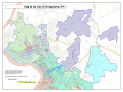
City of Morgantown, West Virginia Zoning Map
Zoning Map of the city of Morgantown, West Virginia. Includes all streets and color-coded zoning...
2148 miles away
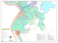
West Virginia Zoning STATE ROADS Map
Map of the zoning boundaries and state roads in West Virginia.
2148 miles away
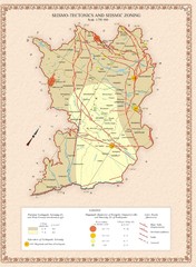
Karabakh Map
Seismo-Tectonics & Seismic Zoning Map of the Nagorno-Karabakh Republic (Artsakh)
7134 miles away
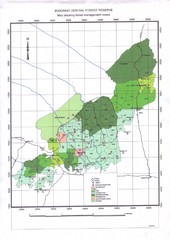
Budongo Forest Map
Budongo Forest Map Shows color-coded forest management zones.
9251 miles away


 Explore Maps
 Map Directory
