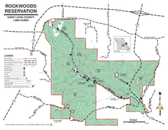
Map of Rockwoods Reservation, MO
Natural Area and hiking trails near St. Louis, MO.
0 miles away

Fountain Lakes Trail Map
Aerial map of trails at Fountain Lakes Park, 145 acres
19 miles away
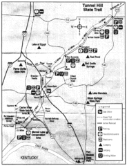
Tunnel Hill State Trail, Illinois Site Map
123 miles away

Shimek State Forest Hiking Trail Map
Map of hiking trails in Shimek State Forest.
152 miles away

Shimek State Forest Horse Trail Map
Map of Horse Trail Sytem within Shimek State Forest.
153 miles away
Old Davidsonville State Park Map
Map of Old Davidsonville State Park historical sites, amenites and other park sites.
160 miles away
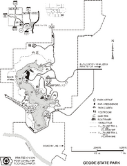
Geode State Park Map
Map of trails, lake depths and park facilities for Geode State Park.
161 miles away
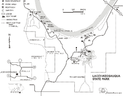
Lacey-Keosauqua State Park Map
Map of trails, indian mounds, lake depths and park facilities for Lacey-Keosauqua State Park.
165 miles away
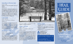
Lake Charles State Park Trail Map
Map of trails for Lake Charles State Park including othe park sites and amenities.
175 miles away
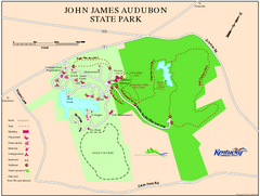
John James Audubon State Park Map
Map of trails, facilities and historical sites in John James Audubon State Park.
176 miles away
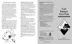
Lake Frierson State Park Map
Map of Lake Frierson State Park showing trails, boating and fishing areas and amenities.
179 miles away
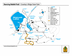
Dancing Rabbit Trail - Crowley's Ridge State...
Trail Map for Dancing Rabbit Trail in Crowley's Ridge State Park showing Walcott Lake, hiking...
183 miles away
Bull Shoals White River State Park Detail Map
Bull Shoals - White River State Park Area Map including amenities.
183 miles away
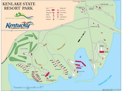
KenLake State Resort Park Map
Map of trails, facilities, and golf course for the KenLake State Resort Park located on the mid...
185 miles away
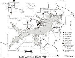
Lake Wapello State Park Map
Map of trails, lake depths and fishing spots at Lake Wapello State Park.
186 miles away
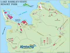
Lake Barkley State Resort Park Map
Map of the trails and facilities of Lake Barkley State Resort Park.
192 miles away
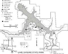
Lake Darling State Park Map
Map of hiking, biking and skiing trails, lake depths and park facilities for Lake Darling State...
193 miles away
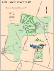
Ben Hawes State Park Map
Map of trails, facilities and golf course in Ben Hawes State Park.
196 miles away
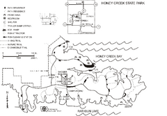
Honey Creek State Park Map
Map of trails, fishing spots and park facilities for Honey Creek State Park.
199 miles away

Wildcat Den State Park Map
Map of trails and facilities at Wildcat Den State Park.
201 miles away
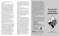
Jacksonport State Park Map
Map of Jacksonport State Park showing historical sites, trails, amenities and river access.
206 miles away
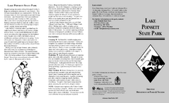
Lake Poinsett State Park Map
Map of Lake Poinsett State Park showing Great Blue Heron Trail , boat ramps and park amenities.
210 miles away
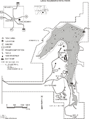
Lake Keomah State Park Map
Map of trails, fishing spots, lake depths and park facilities for Lake Keomah State Park.
213 miles away
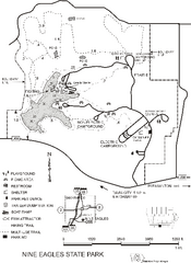
Nine Eagles State Park Map
Map of trails, lake depth and park facilities in Nine Eagles State Park.
217 miles away

Red Haw State Park Map
Map of trails, lake depths, fishing spots and park facilities in Red Haw State Park.
218 miles away
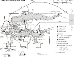
Lake MacBride State Park Map
Map of hiking and biking trails, lake depths and boating and park facilities in Lake MacBride State...
229 miles away
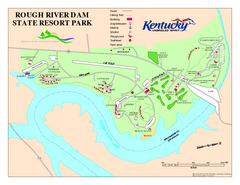
Rough River Dam State Resort Park Map
Map of trails, facilities and golf course in Rough River Dam State Resort Park.
236 miles away
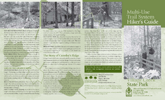
Village Creek State Park Trail Map
Trail map for hiking, bicycles and horses in Village Creek State Park.
236 miles away
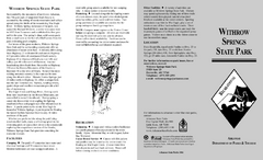
Withrow Springs State Park Map
Map for Withrow Springs State Park showing hiking trails and park amenities.
237 miles away
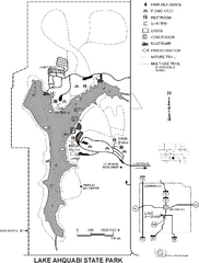
Lake Ahquabi State Park Map
Map of trails, lake depths and park facilities for Lake Ahquabi State Park.
244 miles away
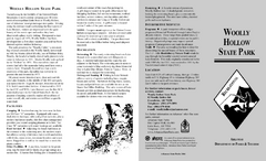
Woolly Hollow State Park Map
Map of Woolly Hollow State Park showing hiking trails and park amenities.
244 miles away

Maquoketa Caves State Park Map
Map of trails and park facilities for Maquoketa Caves State Park.
246 miles away
Wapsipinicon State Park Map
Map of trails, hunting areas and park facilities in Wapsipinicon State Park.
246 miles away
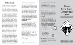
Hobbs State Park Map
Map of Hobbs State Park Conservation Area showing trail heads, roads, places of interests and...
248 miles away
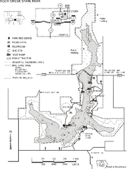
Rock Creek State Park Map
Map of trails, hunting and fishing areas in Rock Creek State Park.
249 miles away

Bellevue State Park Map
Map of hiking trails, public hunting area and facilities of Bellevue State Park.
255 miles away
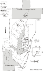
Lake of Three Fires State Park Map
Map of trails, hunting areas and lake access in Lake of Three Fires State Park.
261 miles away
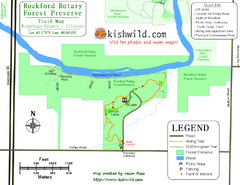
Rockford Rotary Forest Preserve Map
Trail map of Rockford Rotary Forest Preserve in Winnebago County, IL.
265 miles away
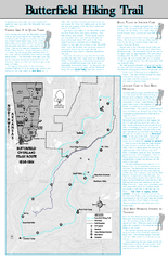
Butterfield Hiking Trail - Devil's Den State...
Butterfield Hiking Trail in Devil's Den State Park detail trail and special points of interest.
265 miles away

Kishwaukee Gorge Forest Preserve Map
Trail map of Kishwaukee Gorge Forest Preserve in Winnebago County, Illinois.
265 miles away


 Explore Maps
 Map Directory
