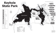
Keyhole State Park Map
Keyhole State Park is located on the western edge of the famed Black Hills, between Sundance and...
0 miles away
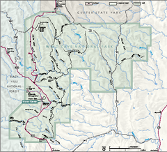
Wind Cave National Park Official Park Map
Official NPS map of Wind Cave National Park in South Dakota. Wind Cave is one of the world's...
81 miles away
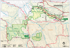
Official Badlands National Park Map
Official NPS map of Badlands National Park in South Dakota. The map shows all area's including...
106 miles away
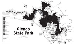
Glendo State Park Map
Glendo State Park is best known for its excellent boating opportunities, with plenty of areas for...
144 miles away
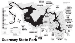
Guernsey State Park Map
The park has long been known as a haven for boating, camping, hiking and picnicking, but its real...
156 miles away
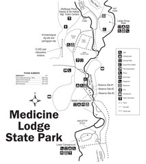
Medicine Lodge State Park Map
The Medicine Lodge site has long been known for its Indian petroglyphs and pictographs, but not...
165 miles away
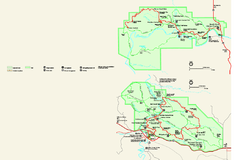
Theodore Roosevelt National Park Official Park Map
Official NPS map of Theodore Roosevelt National Park in North Dakota. Map shows both North and...
173 miles away
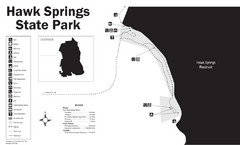
Hawk Springs State Park Map
Hawk Springs Recreation Area has activities for everyone to enjoy: boating, waterskiing, fishing...
183 miles away
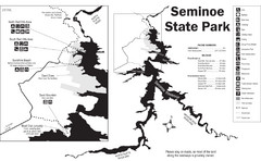
Seminoe State Park Map
Seminoe State Park offers excellent fishing, boating and wildlife-viewing opportunities.
209 miles away
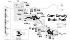
Curt Gowdy State Park Map
Curt Gowdy is a recreation area with three reservoirs. It's great for fishing, camping, water...
236 miles away
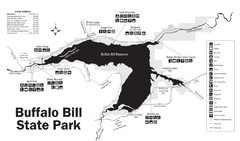
Buffalo Bill State Park Map
240 miles away
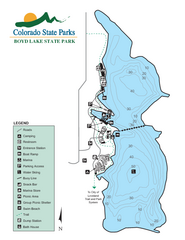
Boyd Lake State Park Map
Map of park with detail of recreation ares
285 miles away
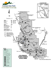
State Forest State Park Map
Map of park with detail of trails and recreation zones
288 miles away
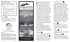
Steamboat Lake State Park Map
Map of park with detail of recreation zones
289 miles away
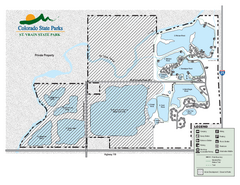
St. Vrain State Park Map
Map of park with detail of recreation zones
303 miles away
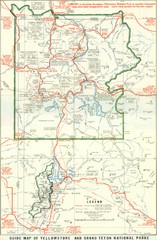
1929 Yellowstone and Grand Teton National Parks...
Map of older smaller boundaries of both national parks
304 miles away
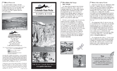
Yampa River State Park Map
Map of park with detail of recreation zones
317 miles away
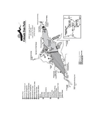
Stagecoach State Park Map
Map of park with detail of campgrounds and recreation zones
320 miles away
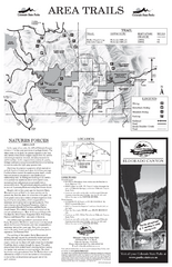
Eldorado Canyon State Park Map
Map of park with detail of trails and recreation zones
321 miles away
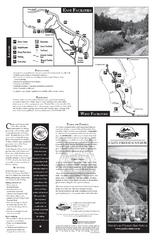
Castlewood Canyon State Park Map
Map of park with detail of trails and recreation zones
359 miles away
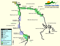
Sylvan Lake State Park Map
Map of park with detail of recreation zones and campgrounds
369 miles away
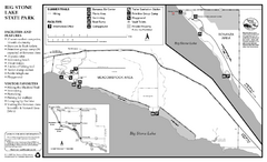
Big Stone Lake State Park Map
Map of park with detail of trails and recreation zones
380 miles away
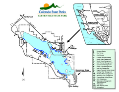
Eleven Mile State Park Map
Map of park with detail of campground zones
391 miles away
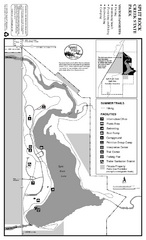
Split Rock Creek State Park Summer Map
Summer seasonal map of park with detail of trails and recreation zones
399 miles away
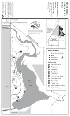
Split Rock Creek State Park Winter Map
Winter seasonal map of park with detail of trails and recreation zones
399 miles away
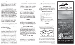
Vega State Park Map
Map of park with detail of recreation zones and campgrounds
407 miles away
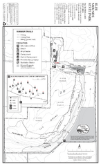
Blue Mounds State Park Map
Map of park with detail of trails and recreation zones
410 miles away
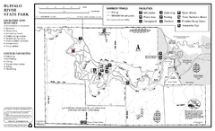
Buffalo River State Park Map
Map of park with detail of trails and recreation zones
415 miles away
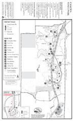
Camden State Park Winter Map
Map of park with detail of trails and recreation zones
417 miles away
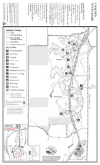
Camden State Park Summer Map
Map of park with detail of trails and recreation zones
417 miles away
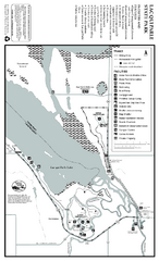
Lac Qui Parle State Park Map
Map of park with detail of trails and recreation zones
418 miles away

Red River State Recreation Area Map
map of recreation area with detail of trails and recreation zones
422 miles away
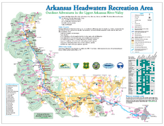
Arkansas Headwaters Recreation Area map
Detailed map for Arkansas Headwaters Recreation Area in Colorado
423 miles away
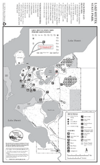
Lake Shetek State Park Winter Map
Winter seasonal map of park with detail of trails and recreation zones
431 miles away
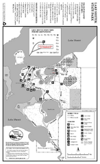
Lake Shetek State Park Summer Map
Summer seasonal map of park with detail of trails and recreation zones
431 miles away
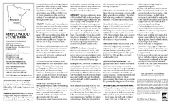
Maplewood State Park Summer Map
Summer seasonal map of park with detail of trails and recreation zones
431 miles away
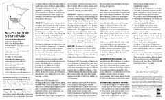
Maplewood State Park Winter Map
Winter seasonal map of park with detail of trails and recreation zones
431 miles away
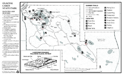
Glacial Lakes State Park Map
Map of park with detail of trails and recreation zones
438 miles away
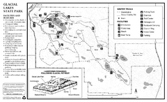
Glacial Lakes State Park Winter Map
Map of park with detail of trails and recreation zones
438 miles away
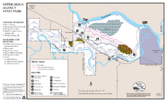
Upper Sioux Agency State Park Winter Map
Winter seasonal map of park with detail of trails and recreation zone
439 miles away


 Explore Maps
 Map Directory
